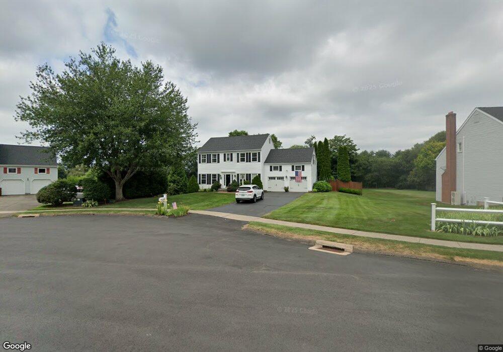
12 Nutmeg Ct Wallingford, CT 06492
Estimated Value: $673,000 - $721,000
3
Beds
3
Baths
2,184
Sq Ft
$318/Sq Ft
Est. Value
About This Home
This home is located at 12 Nutmeg Ct, Wallingford, CT 06492 and is currently estimated at $694,068, approximately $317 per square foot. 12 Nutmeg Ct is a home located in New Haven County with nearby schools including Highland Elementary School, Mary G. Fritz Elementary School, and James H. Moran Middle School.
Ownership History
Date
Name
Owned For
Owner Type
Purchase Details
Closed on
Dec 15, 2023
Sold by
Harris Karen
Bought by
Harris Karen and Raddatz Randall W
Current Estimated Value
Purchase Details
Closed on
Apr 5, 2017
Sold by
Ravenwoods Development
Bought by
Harris Karen
Purchase Details
Closed on
Jul 24, 1995
Sold by
Forness Daniel J and Forness Sally B
Bought by
Harris Karen
Purchase Details
Closed on
Feb 23, 1995
Sold by
Trapp Kevin M and Santee Julie L
Bought by
Forness Daniel J and Forness Sally B
Purchase Details
Closed on
May 10, 1994
Sold by
Ravenswood Dev Corp
Bought by
Trapp Kevin M and Santee Julie L
Create a Home Valuation Report for This Property
The Home Valuation Report is an in-depth analysis detailing your home's value as well as a comparison with similar homes in the area
Home Values in the Area
Average Home Value in this Area
Purchase History
| Date | Buyer | Sale Price | Title Company |
|---|---|---|---|
| Harris Karen | -- | None Available | |
| Harris Karen | -- | None Available | |
| Harris Karen | -- | -- | |
| Harris Karen | $225,000 | -- | |
| Forness Daniel J | $223,900 | -- | |
| Trapp Kevin M | $205,204 | -- | |
| Harris Karen | -- | -- | |
| Harris Karen | $225,000 | -- | |
| Forness Daniel J | $223,900 | -- | |
| Trapp Kevin M | $205,204 | -- |
Source: Public Records
Mortgage History
| Date | Status | Borrower | Loan Amount |
|---|---|---|---|
| Previous Owner | Trapp Kevin M | $173,920 | |
| Previous Owner | Trapp Kevin M | $154,000 |
Source: Public Records
Tax History Compared to Growth
Tax History
| Year | Tax Paid | Tax Assessment Tax Assessment Total Assessment is a certain percentage of the fair market value that is determined by local assessors to be the total taxable value of land and additions on the property. | Land | Improvement |
|---|---|---|---|---|
| 2025 | $9,773 | $405,200 | $122,000 | $283,200 |
| 2024 | $8,812 | $287,400 | $101,600 | $185,800 |
| 2023 | $8,432 | $287,400 | $101,600 | $185,800 |
| 2022 | $7,759 | $267,200 | $101,600 | $165,600 |
| 2021 | $7,621 | $267,200 | $101,600 | $165,600 |
| 2020 | $4,462 | $249,400 | $98,200 | $151,200 |
| 2019 | $3,920 | $249,400 | $98,200 | $151,200 |
| 2018 | $7,143 | $249,400 | $98,200 | $151,200 |
| 2017 | $3,845 | $249,400 | $98,200 | $151,200 |
| 2016 | $6,956 | $249,400 | $98,200 | $151,200 |
| 2015 | $6,950 | $253,000 | $98,200 | $154,800 |
| 2014 | $6,803 | $253,000 | $98,200 | $154,800 |
Source: Public Records
Map
Nearby Homes
- 5 Stegos Dr
- 37 Laurelwood Dr
- 670 Williams Rd
- 1 Pine Glen Terrace
- 28 Morgan Dr
- 400 Williams Rd
- 4 Sunset Dr
- 1323 Barnes Rd
- 940 Durham Rd
- 350 Williams Rd
- 11 Westview Dr
- 96 Rockledge Dr
- 16 Marie Ln
- 147 Pinehurst Dr
- 49 High St
- 7 Grantham Rd
- 31 Carriage Dr
- 29 Curtis Ave
- 380 Main St Unit 3
- 380 Main St Unit 7