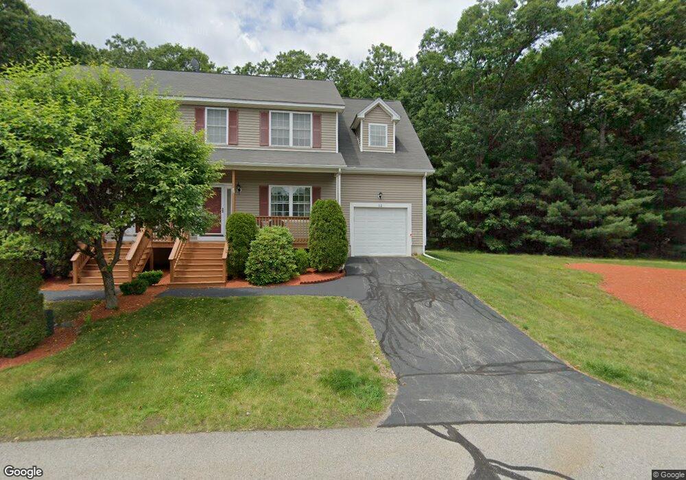
12 Oakes Cir Unit 12 Millbury, MA 01527
Estimated Value: $417,709 - $438,000
2
Beds
3
Baths
1,454
Sq Ft
$295/Sq Ft
Est. Value
About This Home
This home is located at 12 Oakes Cir Unit 12, Millbury, MA 01527 and is currently estimated at $428,927, approximately $294 per square foot. 12 Oakes Cir Unit 12 is a home located in Worcester County with nearby schools including Elmwood Street Elementary School, Raymond E. Shaw Elementary School, and Millbury Junior/Senior High School.
Ownership History
Date
Name
Owned For
Owner Type
Purchase Details
Closed on
Nov 23, 2010
Sold by
Mcquade Frederick B
Bought by
Duane Ann-Marie and Duane Ann Marie
Current Estimated Value
Home Financials for this Owner
Home Financials are based on the most recent Mortgage that was taken out on this home.
Original Mortgage
$148,000
Outstanding Balance
$97,797
Interest Rate
4.3%
Mortgage Type
Purchase Money Mortgage
Estimated Equity
$331,130
Purchase Details
Closed on
Jul 27, 2005
Sold by
Seabro Dev Llc
Bought by
Mcquade Frederick B
Create a Home Valuation Report for This Property
The Home Valuation Report is an in-depth analysis detailing your home's value as well as a comparison with similar homes in the area
Home Values in the Area
Average Home Value in this Area
Purchase History
| Date | Buyer | Sale Price | Title Company |
|---|---|---|---|
| Duane Ann-Marie | $185,000 | -- | |
| Mcquade Frederick B | $264,400 | -- |
Source: Public Records
Mortgage History
| Date | Status | Borrower | Loan Amount |
|---|---|---|---|
| Open | Duane Ann-Marie | $148,000 |
Source: Public Records
Tax History Compared to Growth
Tax History
| Year | Tax Paid | Tax Assessment Tax Assessment Total Assessment is a certain percentage of the fair market value that is determined by local assessors to be the total taxable value of land and additions on the property. | Land | Improvement |
|---|---|---|---|---|
| 2025 | $4,858 | $362,800 | $0 | $362,800 |
| 2024 | $4,672 | $353,100 | $0 | $353,100 |
| 2023 | $4,023 | $278,400 | $0 | $278,400 |
| 2022 | $4,034 | $268,900 | $0 | $268,900 |
| 2021 | $3,782 | $245,100 | $0 | $245,100 |
| 2020 | $3,757 | $245,100 | $0 | $245,100 |
| 2019 | $3,679 | $232,100 | $0 | $232,100 |
| 2018 | $3,413 | $208,900 | $0 | $208,900 |
| 2017 | $3,169 | $192,900 | $0 | $192,900 |
| 2016 | $3,200 | $194,400 | $0 | $194,400 |
| 2015 | $3,200 | $194,400 | $0 | $194,400 |
| 2014 | $3,181 | $186,000 | $0 | $186,000 |
Source: Public Records
Map
Nearby Homes
- 1 Hastings Ave
- 11 Maplewood Rd
- 255 Riverlin St
- 12 Irene Ct
- 27 A-B Grafton St
- 2 Diane St
- 21 Lordvale Blvd Unit 406
- 46 John Dr Unit 46
- 5 Edward Dr
- 76 Samuel Dr
- 5 Lincoln Ln Unit 5
- 28 Lincoln Ln
- 39 Pointe Rok Dr Unit 39
- 31 Pointe Rok Dr Unit 31
- 95 Pineland Ave
- 76 Weatherstone Dr
- 1 Broadmeadow Ave
- 1218 Grafton St
- 31 Crane St
- 1203 Grafton St Unit 38
- 14 Oakes Cir
- 12 Oakes Cir
- 14 Oakes Cir Unit 10A
- 15 Oakes Cir
- 13 Oakes Cir
- 19 Oakes Cir
- 17 Oakes Cir
- 19 Oakes Cir Unit 19
- 11 Oakes Cir
- 9 Oakes Cir
- 11 Oakes Cir Unit 3B
- 4 Oakes Cir
- 2 Oakes Cir
- 4 Oakes Cir Unit 4
- 23 Oakes Cir
- 21 Oakes Cir
- 21 Oakes Cir Unit 6-A
- 21 Oakes Cir Unit 21
- 8 Oakes Cir Unit B
- 8 Oakes Cir Unit A