12 Old Cart Path Norfolk, MA 02056
Estimated Value: $844,000 - $1,139,000
5
Beds
3
Baths
2,116
Sq Ft
$491/Sq Ft
Est. Value
About This Home
This home is located at 12 Old Cart Path, Norfolk, MA 02056 and is currently estimated at $1,038,185, approximately $490 per square foot. 12 Old Cart Path is a home with nearby schools including H. Olive Day School, Freeman-Kennedy School, and Clifford Academy.
Ownership History
Date
Name
Owned For
Owner Type
Purchase Details
Closed on
Oct 16, 2018
Sold by
Norfolk County Homes L
Bought by
Neitlich Lisa
Current Estimated Value
Purchase Details
Closed on
Nov 3, 2014
Sold by
Seekonk Street Nt
Bought by
Norfolk County Homes L
Home Financials for this Owner
Home Financials are based on the most recent Mortgage that was taken out on this home.
Original Mortgage
$180,000
Interest Rate
4.21%
Mortgage Type
New Conventional
Create a Home Valuation Report for This Property
The Home Valuation Report is an in-depth analysis detailing your home's value as well as a comparison with similar homes in the area
Home Values in the Area
Average Home Value in this Area
Purchase History
| Date | Buyer | Sale Price | Title Company |
|---|---|---|---|
| Neitlich Lisa | -- | -- | |
| Norfolk County Homes L | $330,000 | -- |
Source: Public Records
Mortgage History
| Date | Status | Borrower | Loan Amount |
|---|---|---|---|
| Previous Owner | Norfolk County Homes L | $180,000 |
Source: Public Records
Tax History Compared to Growth
Tax History
| Year | Tax Paid | Tax Assessment Tax Assessment Total Assessment is a certain percentage of the fair market value that is determined by local assessors to be the total taxable value of land and additions on the property. | Land | Improvement |
|---|---|---|---|---|
| 2025 | $15,719 | $984,300 | $279,500 | $704,800 |
| 2024 | $14,921 | $958,300 | $279,500 | $678,800 |
| 2023 | $13,912 | $847,800 | $279,500 | $568,300 |
| 2022 | $13,876 | $762,400 | $264,100 | $498,300 |
| 2021 | $13,597 | $755,800 | $257,500 | $498,300 |
| 2020 | $11,795 | $632,800 | $325,200 | $307,600 |
| 2019 | $2,422 | $132,400 | $132,400 | $0 |
| 2018 | $2,465 | $132,400 | $132,400 | $0 |
| 2017 | $2,412 | $132,400 | $132,400 | $0 |
| 2016 | $2,443 | $135,100 | $135,100 | $0 |
| 2015 | $2,308 | $130,700 | $130,700 | $0 |
| 2014 | $3,885 | $222,900 | $222,900 | $0 |
Source: Public Records
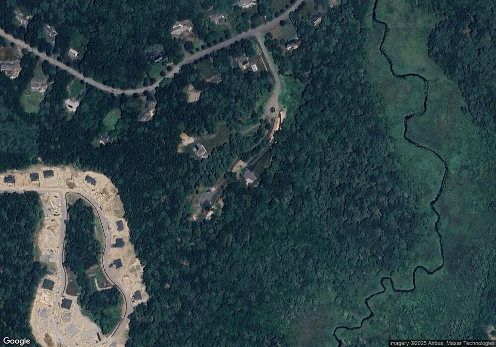
Map
Nearby Homes
- The Georgetown Grand R Plan at Lakeland Hills
- The Georgetown Grand L Plan at Lakeland Hills
- The Georgetown L Plan at Lakeland Hills
- The Georgetown R Plan at Lakeland Hills
- 56 Thomas Mann Cir Unit 43
- 27 Thomas Mann Cir Unit 18
- 54 Thomas Mann Unit Lot 42
- 42 Thomas Mann Unit 39
- 55 Thomas Mann Cir Unit 32
- 37 Thomas Mann Cir Unit 23
- 51 Thomas Mann Unit 30
- 13 Stop River Rd
- 10 Stop River Rd
- 533 Lincoln Rd
- 465 Lincoln Rd
- 14 Cleary Cir
- 14 Cleary Cir Unit 14
- 1 Old Mill Rd
- 26 Noon Hill Ave
- 16 Lee Rd
- 23 Thomas Mann Circle (Lot 12)
- 23 Thomas Mann Cir
- 17 Thomas Mann Circle (Lot 9)
- 15 Thomas Mann Circle (Lot 8)
- 11 Old Cart Path
- 10 Old Cart Path
- 144 Seekonk St
- 56 Thomas Mann Cir Unit Lot 43
- 14 Stop River Rd
- 27 Thomas Mann Cir Unit Lot 18
- 16 Stop River Rd
- 18 Stop River Rd
- 53 Thomas Mann Cir Unit 31
- 20 Stop River Rd
- 3 Thomas Mann Cir
- 12 Stop River Rd
- 12 Stop River Rd
- 22 Stop River Rd
- 15 Stop River Rd
- 19 Stop River Rd