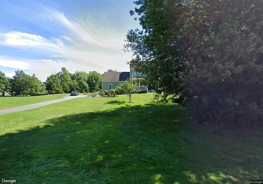
12 Old Pasture Ln Westport, MA 02790
Booth/Handy Four Corners NeighborhoodEstimated Value: $753,270 - $850,000
3
Beds
3
Baths
1,872
Sq Ft
$431/Sq Ft
Est. Value
About This Home
This home is located at 12 Old Pasture Ln, Westport, MA 02790 and is currently estimated at $807,318, approximately $431 per square foot. 12 Old Pasture Ln is a home located in Bristol County with nearby schools including Alice A. Macomber Primary School, Westport Elementary School, and Westport Middle-High School.
Ownership History
Date
Name
Owned For
Owner Type
Purchase Details
Closed on
Apr 19, 2016
Sold by
Therrien Scott A and Therrien Samantha
Bought by
Therrien Samantha
Current Estimated Value
Purchase Details
Closed on
Oct 14, 2008
Sold by
Sbardella Kevin P and Sbardella Kristen R
Bought by
Therrien Samantha and Therrien Scott A
Home Financials for this Owner
Home Financials are based on the most recent Mortgage that was taken out on this home.
Original Mortgage
$352,000
Interest Rate
6.43%
Mortgage Type
Purchase Money Mortgage
Purchase Details
Closed on
Oct 15, 2001
Sold by
190 Cw T
Bought by
Sbardella Kevin P and Sbardella Kristen R
Create a Home Valuation Report for This Property
The Home Valuation Report is an in-depth analysis detailing your home's value as well as a comparison with similar homes in the area
Home Values in the Area
Average Home Value in this Area
Purchase History
| Date | Buyer | Sale Price | Title Company |
|---|---|---|---|
| Therrien Samantha | -- | -- | |
| Therrien Samantha | $440,000 | -- | |
| Sbardella Kevin P | $253,400 | -- |
Source: Public Records
Mortgage History
| Date | Status | Borrower | Loan Amount |
|---|---|---|---|
| Previous Owner | Sbardella Kevin P | $344,000 | |
| Previous Owner | Sbardella Kevin P | $352,000 | |
| Previous Owner | Sbardella Kevin P | $352,000 | |
| Previous Owner | Sbardella Kevin P | $185,000 |
Source: Public Records
Tax History Compared to Growth
Tax History
| Year | Tax Paid | Tax Assessment Tax Assessment Total Assessment is a certain percentage of the fair market value that is determined by local assessors to be the total taxable value of land and additions on the property. | Land | Improvement |
|---|---|---|---|---|
| 2025 | $4,692 | $629,800 | $264,900 | $364,900 |
| 2024 | $4,654 | $602,100 | $245,400 | $356,700 |
| 2023 | $4,521 | $554,100 | $220,000 | $334,100 |
| 2022 | $4,375 | $515,900 | $220,000 | $295,900 |
| 2021 | $4,275 | $495,900 | $200,000 | $295,900 |
| 2020 | $4,113 | $487,900 | $192,000 | $295,900 |
| 2019 | $3,750 | $453,400 | $174,000 | $279,400 |
| 2018 | $3,668 | $448,900 | $178,700 | $270,200 |
| 2017 | $3,586 | $449,900 | $178,700 | $271,200 |
| 2016 | $3,327 | $420,600 | $178,700 | $241,900 |
| 2015 | $3,066 | $386,600 | $178,700 | $207,900 |
Source: Public Records
Map
Nearby Homes
- 118 Charlotte White Rd
- 978 Sodom Rd
- 8 Strawberry Ln
- 6 Angel Ct
- 118 Charlotte White Rd Extension
- 0 Hidden Glen Ln
- Lot 0 Marcotte
- 15 Village Way
- 7 Village Way
- 8 Village Way
- 308 Robert St
- 4 Main Rd
- 218 American Legion Hwy
- 47 Robert St
- 837 Main Rd
- 837 Main Road & Lot 2
- 47 Fallon Dr
- 40 Robert St
- 33 Moniz Dr
- 101 Adamsville Rd
- 8 Old Pasture Ln Unit Lot 10
- 19 Old Pasture Ln
- 19 Old Pasture Ln
- 31 Meadowbrook Ln
- 18 Old Pasture Ln
- 37 Meadowbrook Ln
- 11 Rogue Dr
- 25 Old Pasture Ln
- 11 Rogue Dr
- 1 Old Pasture Ln
- 49 Meadowbrook Ln
- 43 Meadowbrook Ln
- 38 Meadowbrook Ln
- 32 Meadowbrook Ln
- 43 Maya Way
- 7 Rogue Dr
- 7 Rogue Dr Unit Lot 11
- 1 Indian Trail Rd
- 5 Rogue Dr
- 42 Meadowbrook Ln