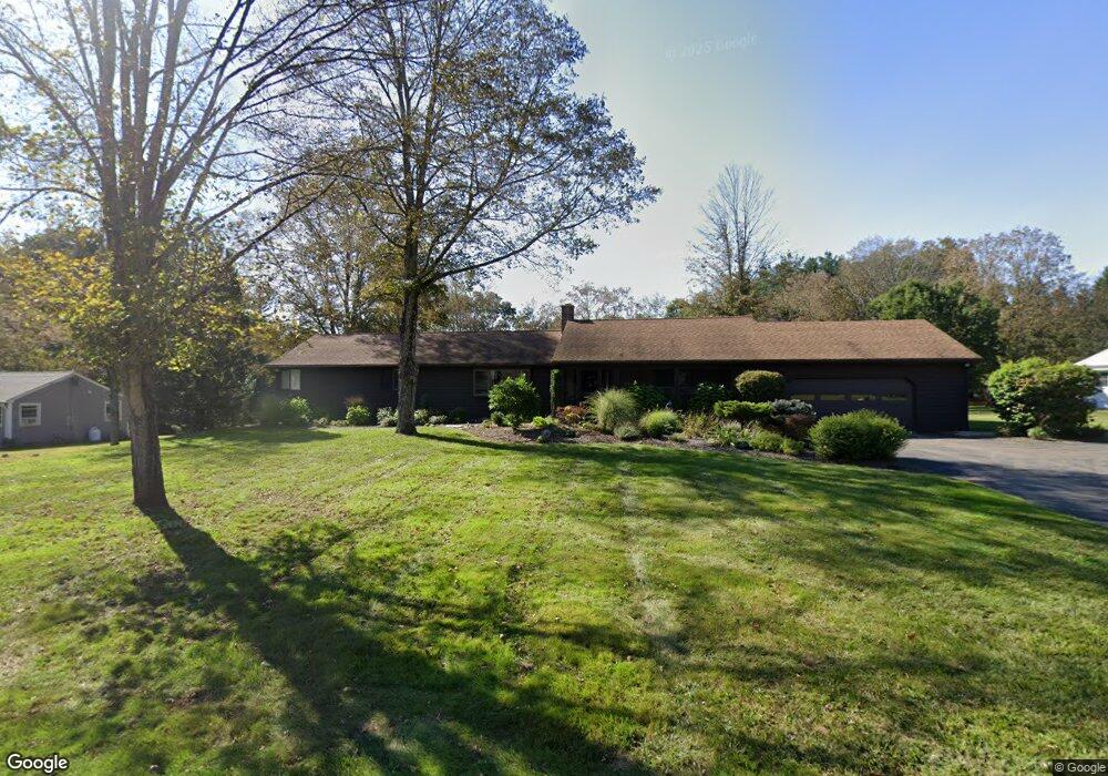
12 Olsen Dr Mansfield Center, CT 06250
Estimated Value: $426,091 - $530,000
3
Beds
2
Baths
1,976
Sq Ft
$235/Sq Ft
Est. Value
About This Home
This home is located at 12 Olsen Dr, Mansfield Center, CT 06250 and is currently estimated at $463,773, approximately $234 per square foot. 12 Olsen Dr is a home located in Tolland County with nearby schools including Mansfield Elementary School, Mansfield Middle School, and E.O. Smith High School.
Ownership History
Date
Name
Owned For
Owner Type
Purchase Details
Closed on
Aug 15, 2024
Sold by
Lowe Flt and Lowe L
Bought by
Lowe Childrens T and Lowe
Current Estimated Value
Purchase Details
Closed on
May 6, 2020
Sold by
Lowe Christopher S and Lowe Christopher S
Bought by
Lowe Ft
Purchase Details
Closed on
May 22, 2017
Sold by
Lowe Janet A
Bought by
Lowe Janet A
Home Financials for this Owner
Home Financials are based on the most recent Mortgage that was taken out on this home.
Original Mortgage
$200,000
Interest Rate
4.03%
Mortgage Type
Credit Line Revolving
Create a Home Valuation Report for This Property
The Home Valuation Report is an in-depth analysis detailing your home's value as well as a comparison with similar homes in the area
Home Values in the Area
Average Home Value in this Area
Purchase History
| Date | Buyer | Sale Price | Title Company |
|---|---|---|---|
| Lowe Childrens T | -- | None Available | |
| Lowe Childrens T | -- | None Available | |
| Lowe Ft | -- | None Available | |
| Lowe Jonathan C | -- | None Available | |
| Lowe Jonathan C | -- | None Available | |
| Lowe Janet A | -- | -- | |
| Lowe Janet A | -- | -- |
Source: Public Records
Mortgage History
| Date | Status | Borrower | Loan Amount |
|---|---|---|---|
| Previous Owner | Lowe Janet A | $200,000 | |
| Previous Owner | Lowe Janet A | $200,000 | |
| Previous Owner | Lowe Janet A | $100,000 |
Source: Public Records
Tax History Compared to Growth
Tax History
| Year | Tax Paid | Tax Assessment Tax Assessment Total Assessment is a certain percentage of the fair market value that is determined by local assessors to be the total taxable value of land and additions on the property. | Land | Improvement |
|---|---|---|---|---|
| 2025 | $6,310 | $315,500 | $54,000 | $261,500 |
| 2024 | $5,906 | $193,500 | $50,800 | $142,700 |
| 2023 | $6,099 | $193,500 | $50,800 | $142,700 |
| 2022 | $5,879 | $193,500 | $50,800 | $142,700 |
| 2021 | $6,072 | $193,500 | $50,800 | $142,700 |
| 2020 | $5,931 | $189,000 | $50,800 | $138,200 |
| 2019 | $5,771 | $183,900 | $53,400 | $130,500 |
| 2018 | $5,679 | $183,900 | $53,400 | $130,500 |
| 2017 | $5,633 | $183,900 | $53,400 | $130,500 |
| 2016 | $5,493 | $183,900 | $53,400 | $130,500 |
| 2015 | $5,493 | $183,900 | $53,400 | $130,500 |
| 2014 | $5,263 | $188,300 | $56,490 | $131,810 |
Source: Public Records
Map
Nearby Homes
- 67 Mulberry Rd
- 241 Wormwood Hill Rd
- 934 Storrs Rd
- 985 Storrs Rd
- 368 Warrenville Rd
- 124 Spring Hill Rd
- 48 Monticello Ln
- 408 Storrs Rd
- 685 Wormwood Hill Rd
- 69 N Bedlam Rd
- 21 Silo Rd W Unit 21
- 0 Mansfield City Rd Unit LOT 2
- 140 Federal Rd
- 30 Wyllys Farm Rd
- 283 Tower Hill Rd
- 29 Wyllys Farm Rd
- 37 Wyllys Farm Rd
- 43 Wyllys Farm Rd
- 31 Wyllys Farm Rd
- 35 Wyllys Farm Rd