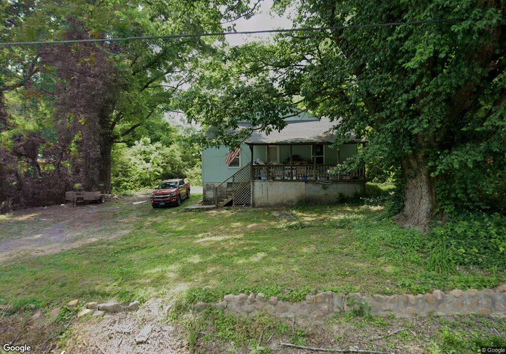
12 Opal Rd Rossville, GA 30741
Estimated Value: $179,000 - $275,000
4
Beds
2
Baths
1,733
Sq Ft
$122/Sq Ft
Est. Value
About This Home
This home is located at 12 Opal Rd, Rossville, GA 30741 and is currently estimated at $211,650, approximately $122 per square foot. 12 Opal Rd is a home located in Walker County with nearby schools including Stone Creek Elementary School, Rossville Middle School, and Ridgeland High School.
Ownership History
Date
Name
Owned For
Owner Type
Purchase Details
Closed on
Apr 3, 1995
Sold by
Evans Helen
Bought by
Neely Howard and Neely Margaret
Current Estimated Value
Purchase Details
Closed on
Oct 29, 1994
Sold by
Billingsley Reva Joyce
Bought by
Evans Helen
Purchase Details
Closed on
Jul 7, 1994
Sold by
Huskey Huskey S and Huskey Helen
Bought by
Billingsley Reva Joyce
Purchase Details
Closed on
Feb 15, 1968
Bought by
Huskey Huskey S and Huskey Helen
Create a Home Valuation Report for This Property
The Home Valuation Report is an in-depth analysis detailing your home's value as well as a comparison with similar homes in the area
Purchase History
| Date | Buyer | Sale Price | Title Company |
|---|---|---|---|
| Neely Howard | $45,000 | -- | |
| Evans Helen | -- | -- | |
| Billingsley Reva Joyce | -- | -- | |
| Huskey Huskey S | -- | -- |
Source: Public Records
Tax History
| Year | Tax Paid | Tax Assessment Tax Assessment Total Assessment is a certain percentage of the fair market value that is determined by local assessors to be the total taxable value of land and additions on the property. | Land | Improvement |
|---|---|---|---|---|
| 2025 | $243 | $61,941 | $10,830 | $51,111 |
| 2024 | $244 | $55,178 | $6,188 | $48,990 |
| 2023 | $205 | $29,164 | $3,094 | $26,070 |
| 2022 | $146 | $25,291 | $3,094 | $22,197 |
| 2021 | $146 | $17,015 | $1,547 | $15,468 |
| 2020 | $148 | $15,660 | $1,547 | $14,113 |
| 2019 | $148 | $15,660 | $1,547 | $14,113 |
| 2018 | $414 | $15,660 | $1,547 | $14,113 |
| 2017 | $203 | $15,660 | $1,547 | $14,113 |
| 2016 | $132 | $15,660 | $1,547 | $14,113 |
| 2015 | $133 | $20,405 | $1,912 | $18,493 |
| 2014 | $67 | $20,405 | $1,912 | $18,493 |
| 2013 | -- | $20,404 | $1,912 | $18,492 |
Source: Public Records
Map
Nearby Homes
- 323 N Jenkins Rd
- 57 Circle Dr
- 45 Virginia Ave
- 406 Jenkins Rd
- 13 Travis Rd
- 25 Carolyn Ln
- 82 Virginia Ave
- 0 Mission Ridge Lot 2 Rd Unit 1520986
- 0 Mission Ridge Lot 1 Rd Unit 1520987
- 0 Catherine St
- 7 Catherine St
- 145 Mission Ridge Rd
- 0 Sunset Cir Unit 1517664
- 0 Sunset Cir Unit 1524868
- 0 Mission Ridge Rd Unit 1523146
- 0 Mission Ridge Rd Unit RTC3035902
- 7 Broadway St
- 843 Schmitt Rd
- 934 Hulana St
- 823 Schmitt Rd
Your Personal Tour Guide
Ask me questions while you tour the home.