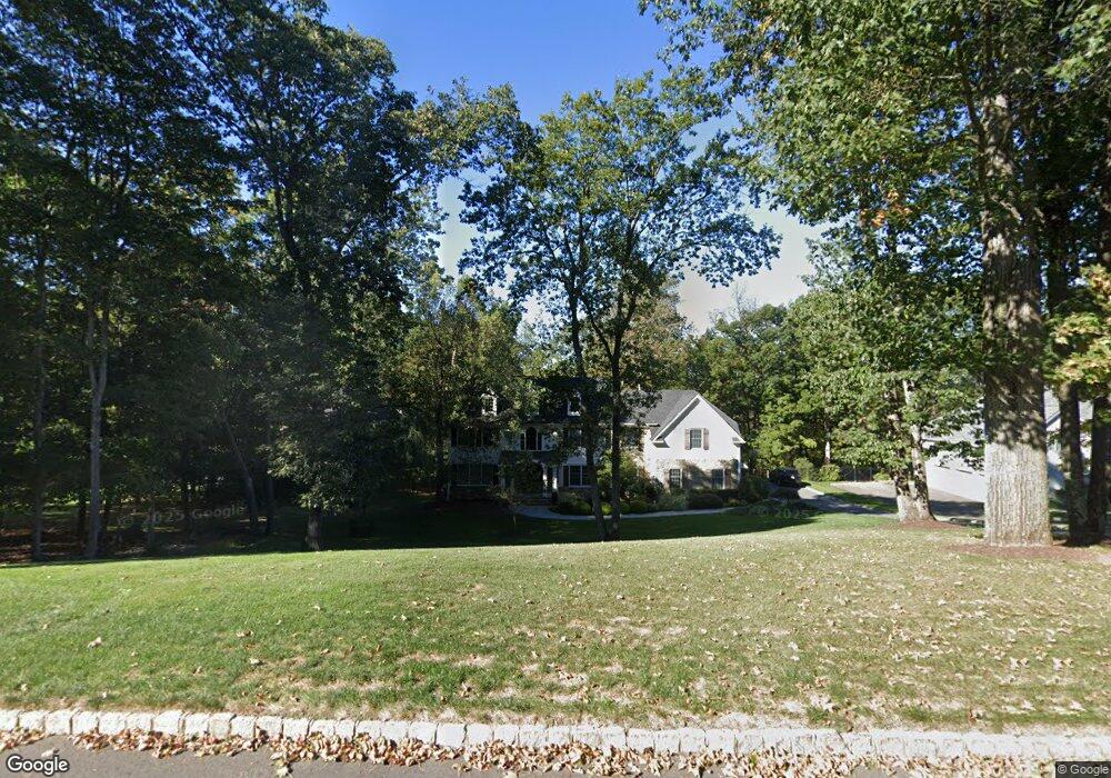
12 Orchard Way Warren, NJ 07059
Estimated Value: $1,696,000 - $1,866,000
--
Bed
--
Bath
4,110
Sq Ft
$434/Sq Ft
Est. Value
About This Home
This home is located at 12 Orchard Way, Warren, NJ 07059 and is currently estimated at $1,782,274, approximately $433 per square foot. 12 Orchard Way is a home located in Somerset County with nearby schools including Mt. Horeb School, Warren Middle School, and Watchung Hills Regional High School.
Ownership History
Date
Name
Owned For
Owner Type
Purchase Details
Closed on
Mar 19, 2021
Sold by
Harrobin John and Maguire Marcy
Bought by
Harrobin John and Harrobin Marcy
Current Estimated Value
Home Financials for this Owner
Home Financials are based on the most recent Mortgage that was taken out on this home.
Original Mortgage
$819,956
Outstanding Balance
$612,571
Interest Rate
3.1%
Mortgage Type
New Conventional
Estimated Equity
$1,169,703
Purchase Details
Closed on
May 9, 2016
Sold by
Harrobin John S and Harrobin Gina
Bought by
Harrobin John S
Purchase Details
Closed on
Jun 23, 2005
Sold by
Freeman William M
Bought by
Harrobin John S and Harrobin Gina E
Purchase Details
Closed on
Jul 27, 1998
Sold by
A & A Properties
Bought by
Freeman William and Freeman Ellen
Home Financials for this Owner
Home Financials are based on the most recent Mortgage that was taken out on this home.
Original Mortgage
$560,000
Interest Rate
6.92%
Create a Home Valuation Report for This Property
The Home Valuation Report is an in-depth analysis detailing your home's value as well as a comparison with similar homes in the area
Home Values in the Area
Average Home Value in this Area
Purchase History
| Date | Buyer | Sale Price | Title Company |
|---|---|---|---|
| Harrobin John | -- | Westcor Land Title Ins Co | |
| Harrobin John S | -- | None Available | |
| Harrobin John S | $1,300,000 | -- | |
| Freeman William | $699,990 | -- |
Source: Public Records
Mortgage History
| Date | Status | Borrower | Loan Amount |
|---|---|---|---|
| Open | Harrobin John | $819,956 | |
| Previous Owner | Freeman William | $560,000 |
Source: Public Records
Tax History Compared to Growth
Tax History
| Year | Tax Paid | Tax Assessment Tax Assessment Total Assessment is a certain percentage of the fair market value that is determined by local assessors to be the total taxable value of land and additions on the property. | Land | Improvement |
|---|---|---|---|---|
| 2025 | $25,331 | $1,512,100 | $511,800 | $1,000,300 |
| 2024 | $25,331 | $1,378,200 | $478,300 | $899,900 |
| 2023 | $24,897 | $1,284,700 | $442,900 | $841,800 |
| 2022 | $24,120 | $1,213,900 | $425,800 | $788,100 |
| 2021 | $24,389 | $1,174,800 | $409,400 | $765,400 |
| 2020 | $23,946 | $1,156,800 | $393,700 | $763,100 |
| 2019 | $23,761 | $1,165,900 | $393,700 | $772,200 |
| 2018 | $23,496 | $1,182,500 | $418,900 | $763,600 |
| 2017 | $23,514 | $1,182,800 | $426,200 | $756,600 |
| 2016 | $23,397 | $1,164,600 | $421,800 | $742,800 |
| 2015 | $23,347 | $1,140,000 | $405,700 | $734,300 |
| 2014 | $22,220 | $1,090,800 | $397,400 | $693,400 |
Source: Public Records
Map
Nearby Homes
- 120-122 Mountainview Rd
- 19 Robin Rd
- 50 Round Top Rd
- 21 Angus Ln
- 7 Nottingham Way
- 21 Foxglove Dr
- 33 Skyline Dr
- 14 Sunrise Dr
- 27 Elm Ave
- 29 Elm Ave
- 14 Downingtown Ct
- 24 Old Forge Dr
- 5 2nd St
- 144 Liberty Corner Rd
- 341 Penns Way Unit D2
- 6 Hardwood Ct
- 417 Penns Way
- 6 Mount Horeb Rd
- 148 Firethorne Trail
- 55 Potomac Dr