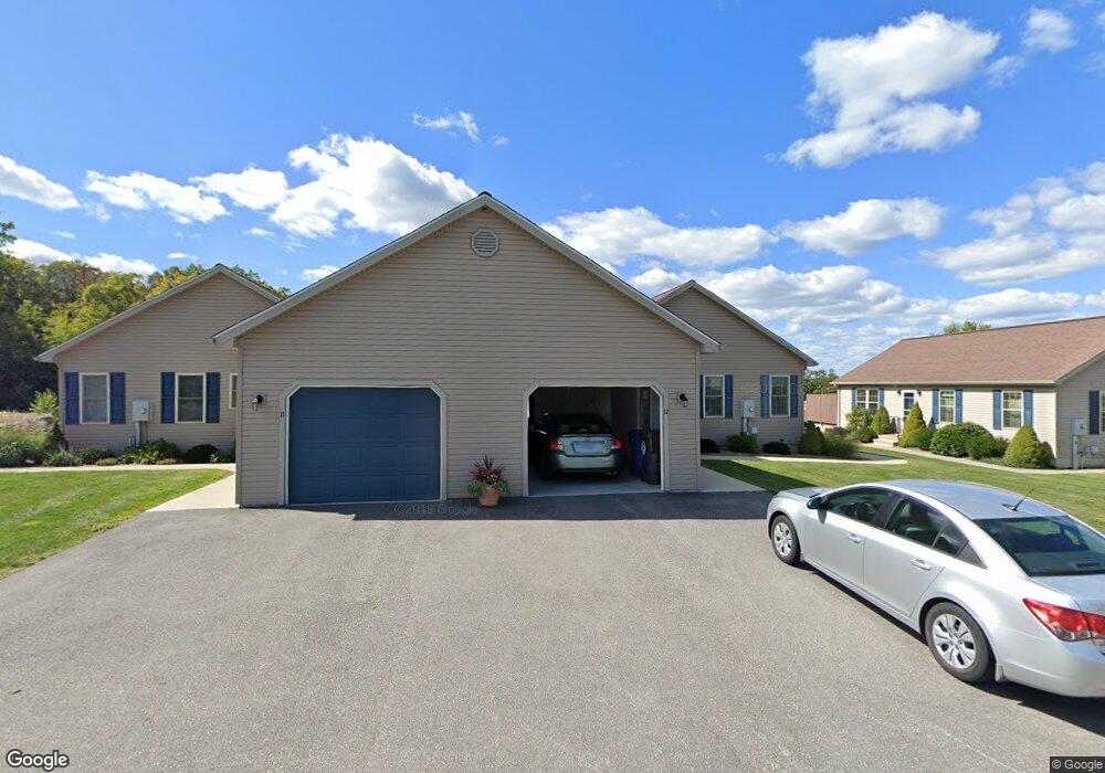
12 Oriole Dr Unit 12 Danielson, CT 06239
Estimated Value: $421,000 - $501,000
2
Beds
2
Baths
1,536
Sq Ft
$295/Sq Ft
Est. Value
About This Home
This home is located at 12 Oriole Dr Unit 12, Danielson, CT 06239 and is currently estimated at $452,868, approximately $294 per square foot. 12 Oriole Dr Unit 12 is a home located in Windham County with nearby schools including Killingly Central School, Killingly Memorial School, and Killingly Intermediate School.
Ownership History
Date
Name
Owned For
Owner Type
Purchase Details
Closed on
Jul 15, 2015
Sold by
Briarwood Acquisition
Bought by
Pelletier Jean-George F
Current Estimated Value
Purchase Details
Closed on
Nov 15, 2012
Sold by
Briarwood Acquisition
Bought by
Fournier Bernard and Fournier Diana
Home Financials for this Owner
Home Financials are based on the most recent Mortgage that was taken out on this home.
Original Mortgage
$100,000
Interest Rate
3.39%
Create a Home Valuation Report for This Property
The Home Valuation Report is an in-depth analysis detailing your home's value as well as a comparison with similar homes in the area
Home Values in the Area
Average Home Value in this Area
Purchase History
| Date | Buyer | Sale Price | Title Company |
|---|---|---|---|
| Pelletier Jean-George F | $219,900 | -- | |
| Pelletier Jean-George F | $219,900 | -- | |
| Fournier Bernard | $211,400 | -- | |
| Fournier Bernard | $211,400 | -- |
Source: Public Records
Mortgage History
| Date | Status | Borrower | Loan Amount |
|---|---|---|---|
| Previous Owner | Fournier Bernard | $100,000 |
Source: Public Records
Tax History Compared to Growth
Tax History
| Year | Tax Paid | Tax Assessment Tax Assessment Total Assessment is a certain percentage of the fair market value that is determined by local assessors to be the total taxable value of land and additions on the property. | Land | Improvement |
|---|---|---|---|---|
| 2025 | $5,668 | $241,700 | $0 | $241,700 |
| 2024 | $5,334 | $241,700 | $0 | $241,700 |
| 2023 | $5,012 | $174,930 | $0 | $174,930 |
| 2022 | $4,707 | $174,930 | $0 | $174,930 |
| 2021 | $4,707 | $174,930 | $0 | $174,930 |
| 2020 | $4,608 | $174,930 | $0 | $174,930 |
| 2019 | $4,699 | $174,930 | $0 | $174,930 |
| 2017 | $4,625 | $158,340 | $0 | $158,340 |
| 2016 | $4,387 | $150,710 | $0 | $150,710 |
| 2015 | $3,726 | $127,120 | $0 | $127,120 |
| 2014 | -- | $0 | $0 | $0 |
Source: Public Records
Map
Nearby Homes
- 61 Deerwood Dr
- 14 Valley View Dr
- 18 Valley View Dr
- 16 Valley View Dr
- 10 Conrad's Park
- 1032 N Main St Unit 9
- 1067 N Main St
- 860 N Main St
- 842 Hartford Pike
- 50 Brookside Dr
- 140 Woodward St
- 17 Hillside Terrace
- 300 Valley Rd
- 16 James St
- 175 Mashentuck Rd
- 409 Main St
- 11 Kenneth Dr
- 48 Athol St Unit 48
- 85 Mashentuck Rd
- 3 Ferland Dr
- 10 Oriole Dr
- 13 Oriole Dr
- 14 Oriole Dr
- 12 Oriole Dr
- 11 Oriole Dr
- 17 Oriole Dr Unit 17
- 17 Oriole Dr
- 16 Oriole Dr
- 15 Oriole Dr Unit 15
- 11 Oriole Dr Unit 11
- 15 Oriole Dr
- 1 Oriole Dr
- 1 Oriole Dr Unit 1
- 7 Oriole Dr
- 7 Oriole Dr Unit 7
- 5 Oriole Dr
- 64 Mockingbird Dr
- 63 Mockingbird Dr
- 62 Mockingbird Dr
- 61 Mockingbird Dr