12 Osborn Ave Unit 4 Manasquan, NJ 08736
Estimated Value: $958,703 - $1,302,000
3
Beds
2
Baths
2,200
Sq Ft
$497/Sq Ft
Est. Value
About This Home
This home is located at 12 Osborn Ave Unit 4, Manasquan, NJ 08736 and is currently estimated at $1,094,176, approximately $497 per square foot. 12 Osborn Ave Unit 4 is a home located in Monmouth County with nearby schools including Manasquan Elementary School, Manasquan High School, and The Brookside School.
Create a Home Valuation Report for This Property
The Home Valuation Report is an in-depth analysis detailing your home's value as well as a comparison with similar homes in the area
Home Values in the Area
Average Home Value in this Area
Tax History Compared to Growth
Tax History
| Year | Tax Paid | Tax Assessment Tax Assessment Total Assessment is a certain percentage of the fair market value that is determined by local assessors to be the total taxable value of land and additions on the property. | Land | Improvement |
|---|---|---|---|---|
| 2025 | $9,948 | $559,500 | $180,000 | $379,500 |
| 2024 | $9,573 | $559,500 | $180,000 | $379,500 |
| 2023 | $9,573 | $559,500 | $180,000 | $379,500 |
| 2022 | $9,215 | $559,500 | $180,000 | $379,500 |
| 2021 | $9,215 | $559,500 | $180,000 | $379,500 |
| 2020 | $9,086 | $559,500 | $180,000 | $379,500 |
| 2019 | $8,745 | $559,500 | $180,000 | $379,500 |
| 2018 | $8,549 | $559,500 | $180,000 | $379,500 |
| 2017 | $8,225 | $559,500 | $180,000 | $379,500 |
| 2016 | $8,006 | $559,500 | $180,000 | $379,500 |
| 2015 | $7,256 | $424,600 | $70,000 | $354,600 |
| 2014 | $7,248 | $424,600 | $70,000 | $354,600 |
Source: Public Records
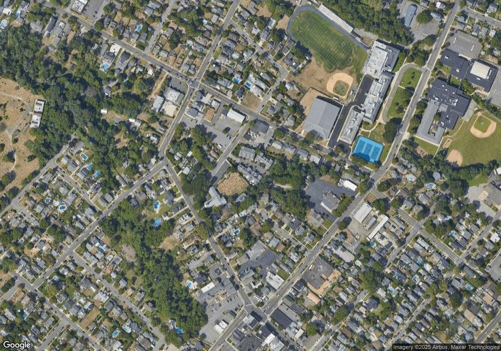
Map
Nearby Homes
- 34 Broad St Unit 306
- 22 Woodland Ave
- 15 Spruce Ave
- 20 Old Squan Rd
- 34 Gertrude Place
- 2253 Wagner Ln
- 2311 Camden Ave
- 116 Curtis Ave
- 80 Stockton Lake Blvd
- 721 Crescent Place
- 722 Boston Blvd
- 130 Union Ave
- 534 Washington Blvd Unit 6
- 610 Agnes Ave
- 14 Lebanon Dr
- 409 Sea Girt Ave
- 504 Crescent Pkwy
- 1215 Church St
- 507 Crescent Pkwy
- 203 Lenape Trail
- 12 Osborn Ave Unit 5
- 12 Osborn Ave Unit 2
- 12 Osborn Ave Unit 1
- 12 Osborn Ave Unit 3
- 12 Osborn Ave
- 20 Osborn Ave Unit 1
- 20 Osborn Ave Unit 2
- 20 Osborn Ave Unit 3
- 20 Osborn Ave Unit 4
- 20 Osborn Ave Unit 201
- 20 Osborn Ave Unit 202
- 20 Osborn Ave Unit 204
- 20 Osborn Ave
- 16 Osborn Ave Unit 3
- 16 Osborn Ave Unit 2
- 16 Osborn Ave Unit 1
- 23 Osborn Ave
- 19 Osborn Ave
- 36 Main St
- 30 Beams Terrace