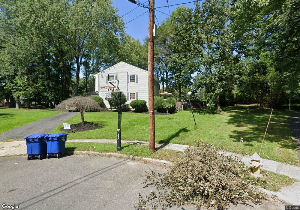
12 Overbrook Cir Moorestown, NJ 08057
Estimated Value: $462,000 - $573,000
--
Bed
--
Bath
1,736
Sq Ft
$300/Sq Ft
Est. Value
About This Home
This home is located at 12 Overbrook Cir, Moorestown, NJ 08057 and is currently estimated at $520,478, approximately $299 per square foot. 12 Overbrook Cir is a home located in Burlington County with nearby schools including Mary E. Roberts Elementary School, Moorestown Upper Elementary School, and William Allen Middle School.
Ownership History
Date
Name
Owned For
Owner Type
Purchase Details
Closed on
Dec 12, 2005
Sold by
Jordan James F and Jordan Jeffrey H
Bought by
Egan Joseph T
Current Estimated Value
Home Financials for this Owner
Home Financials are based on the most recent Mortgage that was taken out on this home.
Original Mortgage
$302,100
Outstanding Balance
$168,927
Interest Rate
6.28%
Mortgage Type
Fannie Mae Freddie Mac
Estimated Equity
$351,551
Create a Home Valuation Report for This Property
The Home Valuation Report is an in-depth analysis detailing your home's value as well as a comparison with similar homes in the area
Home Values in the Area
Average Home Value in this Area
Purchase History
| Date | Buyer | Sale Price | Title Company |
|---|---|---|---|
| Egan Joseph T | $318,000 | None Available |
Source: Public Records
Mortgage History
| Date | Status | Borrower | Loan Amount |
|---|---|---|---|
| Open | Egan Joseph T | $302,100 |
Source: Public Records
Tax History Compared to Growth
Tax History
| Year | Tax Paid | Tax Assessment Tax Assessment Total Assessment is a certain percentage of the fair market value that is determined by local assessors to be the total taxable value of land and additions on the property. | Land | Improvement |
|---|---|---|---|---|
| 2025 | $7,614 | $266,300 | $150,500 | $115,800 |
| 2024 | $7,385 | $266,300 | $150,500 | $115,800 |
| 2023 | $7,385 | $266,300 | $150,500 | $115,800 |
| 2022 | $7,347 | $266,300 | $150,500 | $115,800 |
| 2021 | $7,254 | $266,300 | $150,500 | $115,800 |
| 2020 | $7,206 | $266,300 | $150,500 | $115,800 |
| 2019 | $7,076 | $266,300 | $150,500 | $115,800 |
| 2018 | $6,868 | $266,300 | $150,500 | $115,800 |
| 2017 | $6,913 | $266,300 | $150,500 | $115,800 |
| 2016 | $6,881 | $266,300 | $150,500 | $115,800 |
| 2015 | $6,791 | $266,300 | $150,500 | $115,800 |
| 2014 | $6,458 | $266,300 | $150,500 | $115,800 |
Source: Public Records
Map
Nearby Homes
- 206 E Camden Ave
- 801 E Camden Ave
- 149 Chalkboard Ct
- 709 Manor Terrace
- 14 Vincent Way
- 21 N Lenola Rd
- 403 S Lenola Rd
- 114 Grant Ave
- 99 Grant Ave
- 21 Foxwood Dr Unit 21
- 531 Covington Terrace
- 124 E Wilson Ave
- 519 N Lincoln Ave
- 115 E Kings Hwy Unit 386
- 115 E Kings Hwy Unit 410
- 115 E Kings Hwy Unit 444
- 115 E Kings Hwy Unit 443
- 601 Stratford Dr
- 600 Stratford Dr
- 106 Pine St
- 11 Overbrook Cir
- 10 Overbrook Cir
- 8 Overbrook Cir
- 9 Overbrook Cir
- 7 Overbrook Cir
- 6 Overbrook Cir
- 5 Overbrook Cir
- 25 Revere Ave
- 29 Revere Ave
- 12 Woodlane Dr
- 4 Overbrook Cir
- 23 Revere Ave
- 31 Revere Ave
- 21 Revere Ave
- 10 Woodlane Dr
- 3 Overbrook Cir
- 41 Revere Ave
- 19 Revere Ave
- 14 Woodlane Dr
- 17 Revere Ave