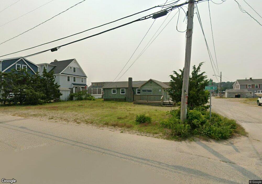
12 Palfrey St Scituate, MA 02066
Humarock NeighborhoodEstimated Value: $714,000 - $841,000
3
Beds
1
Bath
648
Sq Ft
$1,201/Sq Ft
Est. Value
About This Home
This home is located at 12 Palfrey St, Scituate, MA 02066 and is currently estimated at $778,333, approximately $1,201 per square foot. 12 Palfrey St is a home.
Create a Home Valuation Report for This Property
The Home Valuation Report is an in-depth analysis detailing your home's value as well as a comparison with similar homes in the area
Home Values in the Area
Average Home Value in this Area
Tax History Compared to Growth
Tax History
| Year | Tax Paid | Tax Assessment Tax Assessment Total Assessment is a certain percentage of the fair market value that is determined by local assessors to be the total taxable value of land and additions on the property. | Land | Improvement |
|---|---|---|---|---|
| 2025 | $6,555 | $656,200 | $535,200 | $121,000 |
| 2024 | $6,070 | $585,900 | $450,500 | $135,400 |
| 2023 | $5,723 | $536,600 | $409,500 | $127,100 |
| 2022 | $5,723 | $453,500 | $342,700 | $110,800 |
| 2021 | $5,597 | $419,900 | $326,400 | $93,500 |
| 2020 | $5,608 | $415,400 | $326,300 | $89,100 |
| 2019 | $5,567 | $405,200 | $319,900 | $85,300 |
| 2018 | $4,696 | $336,600 | $259,900 | $76,700 |
| 2017 | $4,596 | $326,200 | $249,500 | $76,700 |
| 2016 | $4,465 | $315,800 | $239,100 | $76,700 |
| 2015 | $4,001 | $305,400 | $228,700 | $76,700 |
Source: Public Records
Map
Nearby Homes