12 Pamela Ln Amesbury, MA 01913
Estimated Value: $306,000 - $422,000
3
Beds
2
Baths
1,530
Sq Ft
$246/Sq Ft
Est. Value
About This Home
This home is located at 12 Pamela Ln, Amesbury, MA 01913 and is currently estimated at $376,046, approximately $245 per square foot. 12 Pamela Ln is a home located in Essex County with nearby schools including Amesbury High School and Amesbury Seventh-Day Adventist School.
Ownership History
Date
Name
Owned For
Owner Type
Purchase Details
Closed on
Aug 14, 1997
Sold by
Kudym Kenneth M and Kudym Marie
Bought by
Foster George A and Foster Patricia A
Current Estimated Value
Purchase Details
Closed on
Jul 27, 1994
Sold by
Scott Ft and Scott
Bought by
Kudym Marie A and Kudym Kenneth M
Create a Home Valuation Report for This Property
The Home Valuation Report is an in-depth analysis detailing your home's value as well as a comparison with similar homes in the area
Home Values in the Area
Average Home Value in this Area
Purchase History
| Date | Buyer | Sale Price | Title Company |
|---|---|---|---|
| Foster George A | $85,500 | -- | |
| Kudym Marie A | $80,000 | -- |
Source: Public Records
Mortgage History
| Date | Status | Borrower | Loan Amount |
|---|---|---|---|
| Open | Kudym Marie A | $307,500 | |
| Closed | Kudym Marie A | $307,600 | |
| Closed | Kudym Marie A | $110,000 |
Source: Public Records
Tax History Compared to Growth
Tax History
| Year | Tax Paid | Tax Assessment Tax Assessment Total Assessment is a certain percentage of the fair market value that is determined by local assessors to be the total taxable value of land and additions on the property. | Land | Improvement |
|---|---|---|---|---|
| 2025 | $5,479 | $358,100 | $0 | $358,100 |
| 2024 | $5,640 | $360,600 | $0 | $360,600 |
| 2023 | $5,113 | $312,900 | $0 | $312,900 |
| 2022 | $4,465 | $252,400 | $0 | $252,400 |
| 2021 | $4,265 | $233,700 | $0 | $233,700 |
| 2020 | $4,048 | $235,600 | $0 | $235,600 |
| 2019 | $3,733 | $203,200 | $0 | $203,200 |
| 2018 | $3,498 | $184,200 | $0 | $184,200 |
| 2017 | $3,242 | $162,500 | $0 | $162,500 |
| 2016 | $2,819 | $139,000 | $0 | $139,000 |
| 2015 | $2,001 | $97,400 | $0 | $97,400 |
| 2014 | $2,619 | $124,900 | $0 | $124,900 |
Source: Public Records
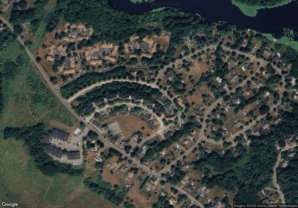
Map
Nearby Homes
- 20 Mason Ct
- 10 Mason Ct Unit 10
- 16 Glen Devin St
- 22 Jewell St
- 25 Whittier Meadows Dr
- 48 Orchard St
- 188 Lions Mouth Rd
- 5 Moncrief St Unit 5
- 1 Brown Ave Unit 1-37
- 1 Brown Ave Unit 3-80
- 129 Friend St
- 31 Whitter Meadows Dr Unit 31
- 93 Friend St
- 3 Arlington St
- 57 Clinton St
- 37 Millyard Unit 204
- 105 Market St Unit B
- 103 Market St Unit A
- 101 Market St Unit B
- 101 Market St Unit A
- 16 Pamela Ln
- 14 Pamela Ln
- 10 Pamela Ln
- 71 Cynthia Ln
- 8 Pamela Ln
- 6 Pamela Ln
- 4 Pamela Ln
- 2 Pamela Ln
- 4 Pamela Ln Unit 4
- 2 Pamela Ln Unit 17-4
- 2 Pamela Ln Unit 2
- 24 Pamela Ln
- 22 Pamela Ln
- 20 Pamela Ln
- 18 Pamela Ln
- 22 Pamela Ln Unit 15-2
- 24 Pamela Ln Unit 15-1
- 22 Pamela Ln Unit 15G
- 69 Cynthia Ln
- 67 Cynthia Ln