12 Parsons Ln Kittery, ME 03904
Estimated Value: $445,717 - $543,000
3
Beds
1
Bath
1,176
Sq Ft
$424/Sq Ft
Est. Value
About This Home
This home is located at 12 Parsons Ln, Kittery, ME 03904 and is currently estimated at $498,179, approximately $423 per square foot. 12 Parsons Ln is a home with nearby schools including Shapleigh School, Horace Mitchell Primary School, and Robert W Traip Academy.
Ownership History
Date
Name
Owned For
Owner Type
Purchase Details
Closed on
Dec 2, 2009
Sold by
Balentine Paul A and Balentine Joanne D
Bought by
Balentine Paul A and Balentine Joane D
Current Estimated Value
Home Financials for this Owner
Home Financials are based on the most recent Mortgage that was taken out on this home.
Original Mortgage
$212,226
Outstanding Balance
$139,205
Interest Rate
5.01%
Mortgage Type
Unknown
Estimated Equity
$358,974
Create a Home Valuation Report for This Property
The Home Valuation Report is an in-depth analysis detailing your home's value as well as a comparison with similar homes in the area
Home Values in the Area
Average Home Value in this Area
Purchase History
| Date | Buyer | Sale Price | Title Company |
|---|---|---|---|
| Balentine Paul A | -- | -- |
Source: Public Records
Mortgage History
| Date | Status | Borrower | Loan Amount |
|---|---|---|---|
| Open | Balentine Paul A | $212,226 | |
| Previous Owner | Balentine Paul A | $209,090 |
Source: Public Records
Tax History Compared to Growth
Tax History
| Year | Tax Paid | Tax Assessment Tax Assessment Total Assessment is a certain percentage of the fair market value that is determined by local assessors to be the total taxable value of land and additions on the property. | Land | Improvement |
|---|---|---|---|---|
| 2024 | $3,745 | $263,700 | $101,500 | $162,200 |
| 2023 | $3,589 | $263,700 | $101,500 | $162,200 |
| 2022 | $3,555 | $263,700 | $101,500 | $162,200 |
| 2021 | $3,185 | $245,000 | $101,500 | $143,500 |
| 2020 | $3,161 | $245,000 | $101,500 | $143,500 |
| 2019 | $3,252 | $186,900 | $71,900 | $115,000 |
| 2018 | $3,140 | $186,900 | $71,900 | $115,000 |
| 2017 | $3,084 | $186,900 | $71,900 | $115,000 |
| 2016 | $3,000 | $186,900 | $71,900 | $115,000 |
| 2015 | $2,929 | $186,900 | $71,900 | $115,000 |
| 2014 | $2,901 | $186,900 | $71,900 | $115,000 |
| 2013 | $2,845 | $186,900 | $71,900 | $115,000 |
Source: Public Records
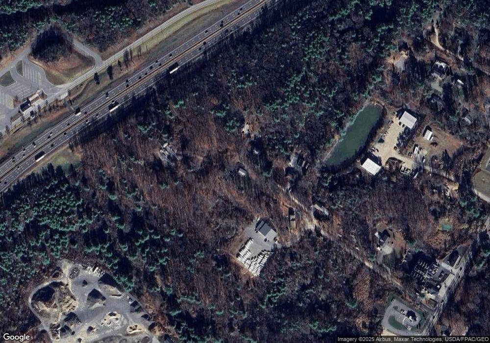
Map
Nearby Homes
- 8 Colony Way
- 10 Colony Way
- 14 Colony Way
- 20 Colony Way
- 75 Caincrest Rd
- 3 Sandalwood Cir
- 9 Jeffrey Dr
- 2 Woodside Meadow Rd
- 24 Regency Cir Unit 3
- 12 Blueberry Ln
- 10 Lewis Rd
- 50 Lewis Rd
- 49 Betty Welch Rd
- 7 Blackberry Place
- 18 Woodside Meadow Rd Unit 4
- 3 Izzy Ln
- 13 Washburn Farm Ln Unit 7
- 3 Long Cove Rd
- 32 Regency Cir Unit 2
- 109 Bartlett Rd
- 3 Parsons Ln
- 3 Parsons Ln
- 4 Parsons Ln
- 5 Parsons Ln
- 6 Parsons Ln
- 4 Us Route One
- 2 U S 1
- 2 U S 1
- 4 Us Route 1
- 4 A St
- 4 Us Route 1 Unit 4
- 4 Us Route 1
- 24 Us Route 1
- 24 Us Route 1
- 0 Pine Hill Road & Route One
- 0 Pine Hill Rd & Route One
- 0 Route One Unit 505375
- 0 Route One Unit 374559
- 0 Route 1
- 0 Route One Unit 266846