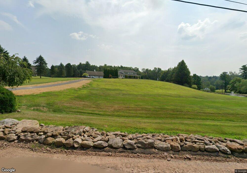
12 Pear St Barnesville, PA 18214
Estimated Value: $417,000 - $493,651
4
Beds
3
Baths
2,568
Sq Ft
$180/Sq Ft
Est. Value
About This Home
This home is located at 12 Pear St, Barnesville, PA 18214 and is currently estimated at $462,550, approximately $180 per square foot. 12 Pear St is a home located in Schuylkill County with nearby schools including Mahanoy Area Middle School, Mahanoy Area Elementary School, and Mahanoy Area High School.
Ownership History
Date
Name
Owned For
Owner Type
Purchase Details
Closed on
Jul 10, 2025
Sold by
Gnall Gary
Bought by
Gnall Gary and Gnall Heather
Current Estimated Value
Purchase Details
Closed on
Nov 25, 2009
Sold by
Gnall Gary and Burnham Gnall Angela
Bought by
Gnall Gary
Create a Home Valuation Report for This Property
The Home Valuation Report is an in-depth analysis detailing your home's value as well as a comparison with similar homes in the area
Home Values in the Area
Average Home Value in this Area
Purchase History
| Date | Buyer | Sale Price | Title Company |
|---|---|---|---|
| Gnall Gary | -- | None Listed On Document | |
| Gnall Gary | -- | None Listed On Document | |
| Gnall Gary | -- | None Available |
Source: Public Records
Tax History
| Year | Tax Paid | Tax Assessment Tax Assessment Total Assessment is a certain percentage of the fair market value that is determined by local assessors to be the total taxable value of land and additions on the property. | Land | Improvement |
|---|---|---|---|---|
| 2026 | $36,357 | $565,900 | $63,800 | $502,100 |
| 2025 | $7,361 | $91,155 | $13,600 | $77,555 |
| 2024 | $6,682 | $91,155 | $13,600 | $77,555 |
| 2023 | $6,491 | $88,545 | $13,600 | $74,945 |
| 2022 | $6,402 | $88,545 | $13,600 | $74,945 |
| 2021 | $6,323 | $88,545 | $13,600 | $74,945 |
| 2020 | $6,323 | $88,545 | $13,600 | $74,945 |
| 2018 | $6,022 | $88,545 | $13,600 | $74,945 |
| 2017 | $5,933 | $88,545 | $13,600 | $74,945 |
| 2015 | -- | $88,545 | $13,600 | $74,945 |
| 2011 | -- | $84,945 | $0 | $0 |
Source: Public Records
Map
Nearby Homes
- 4 Codorus Rd
- Lot 1 Back Rd
- 0 Back Rd Unit 772648
- 0 Back Rd Unit PASK2025846
- 0 Back Rd Unit PASK2025596
- LOT 3 Back Rd
- 931 Barnesville Dr
- 38 State Rd
- 890 Barnesville Dr
- 66 Back Rd
- 3 Golf Rd
- 64 Lakeside Ave
- 59 Hazle St
- 1 Pine St
- 66 Low St
- 3 Trenton
- 1419 E Market St
- 834 E Pine St
- 724 E Centre St
- 620 E Pine St
- 18 Pear St
- 11 Pear St
- 26 Pear St
- 349 State Rd
- 21 Pear St
- 361 State Rd
- 384 State Rd
- 375 State Rd
- 355 State Rd
- 305 State Rd
- 305 State Rd
- 0 State Rd Unit 6718801
- 0 State Rd Unit 9-7908
- 0 State Rd Unit PASK132404
- 0 State Rd Unit 1001241213
- 390 State Rd
- 300 State Rd
- 387 State Rd
- 396 State Rd
- 399 State Rd
Your Personal Tour Guide
Ask me questions while you tour the home.