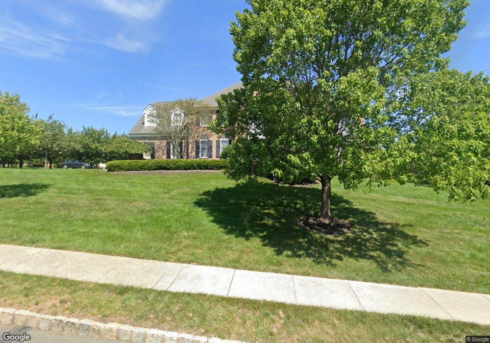
12 Pear Tree Dr Skillman, NJ 08558
Estimated Value: $1,441,000 - $1,596,607
Studio
--
Bath
3,743
Sq Ft
$406/Sq Ft
Est. Value
About This Home
This home is located at 12 Pear Tree Dr, Skillman, NJ 08558 and is currently estimated at $1,519,902, approximately $406 per square foot. 12 Pear Tree Dr is a home located in Somerset County with nearby schools including Orchard Hill Elementary School, Village Elementary School, and Montgomery Lower Mid School.
Ownership History
Date
Name
Owned For
Owner Type
Purchase Details
Closed on
Aug 1, 2002
Sold by
Land Deve and Land Deve R
Bought by
Turner Joshua and Turner Cheryl
Current Estimated Value
Home Financials for this Owner
Home Financials are based on the most recent Mortgage that was taken out on this home.
Original Mortgage
$500,000
Outstanding Balance
$212,028
Interest Rate
6.58%
Estimated Equity
$1,307,874
Create a Home Valuation Report for This Property
The Home Valuation Report is an in-depth analysis detailing your home's value as well as a comparison with similar homes in the area
Home Values in the Area
Average Home Value in this Area
Purchase History
| Date | Buyer | Sale Price | Title Company |
|---|---|---|---|
| Turner Joshua | $749,900 | -- |
Source: Public Records
Mortgage History
| Date | Status | Borrower | Loan Amount |
|---|---|---|---|
| Open | Turner Joshua | $500,000 |
Source: Public Records
Tax History
| Year | Tax Paid | Tax Assessment Tax Assessment Total Assessment is a certain percentage of the fair market value that is determined by local assessors to be the total taxable value of land and additions on the property. | Land | Improvement |
|---|---|---|---|---|
| 2025 | $25,964 | $757,400 | $265,600 | $491,800 |
| 2024 | $25,964 | $757,400 | $265,600 | $491,800 |
| 2023 | $25,926 | $757,400 | $265,600 | $491,800 |
| 2022 | $24,411 | $757,400 | $265,600 | $491,800 |
| 2021 | $24,199 | $757,400 | $265,600 | $491,800 |
| 2020 | $23,994 | $757,400 | $265,600 | $491,800 |
| 2019 | $23,828 | $757,400 | $265,600 | $491,800 |
| 2018 | $23,267 | $757,400 | $265,600 | $491,800 |
| 2017 | $22,911 | $757,400 | $265,600 | $491,800 |
| 2016 | $22,510 | $757,400 | $265,600 | $491,800 |
| 2015 | $22,010 | $757,400 | $265,600 | $491,800 |
| 2014 | $21,745 | $757,400 | $265,600 | $491,800 |
Source: Public Records
Map
Nearby Homes
- 266 Province Line Rd
- 266 Province Line Rd
- 17 Elm St
- 82 Aunt Molly Rd
- 45 Camp Meeting Ave
- 67 Columbia Ave
- 8 Princeton Ave
- 24 Seminary Ave
- 9 Winged Foot Ct
- 14 Blackwell Ave
- 6-8 S Greenwood Ave
- 1 Interlachen Ct
- 0 Mountain View Rd
- 200 Hopewell Princeton Rd
- 165 Heather Ln
- 198 Hopewell Princeton Rd
- 145 Hopewell - Wertsville Rd
- 1330 Great Rd
- 8 Bronson Way
- 21 Bogart Ct
- 22 Pear Tree Dr
- 3 Moores Grove Ct
- 48 Georgetown Franklin T
- 8 Moores Grove Ct
- 28 Pear Tree Dr
- 60 Route 518
- 18 Moores Grove Ct
- 7 Moores Grove Ct
- 11 Moores Grove Ct
- 000 Spring Hill Rd
- 34 Pear Tree Dr
- 24 Moores Grove Ct
- 0 Spring Hill Rd Unit 5778575
- 17 Moores Grove Ct
- 403 Province Line Rd
- 395 Province Line Rd
- 411 Province Line Rd
- 30 Moores Grove Ct
- 71 Planters Row
- 25 Moores Grove Ct
Your Personal Tour Guide
Ask me questions while you tour the home.