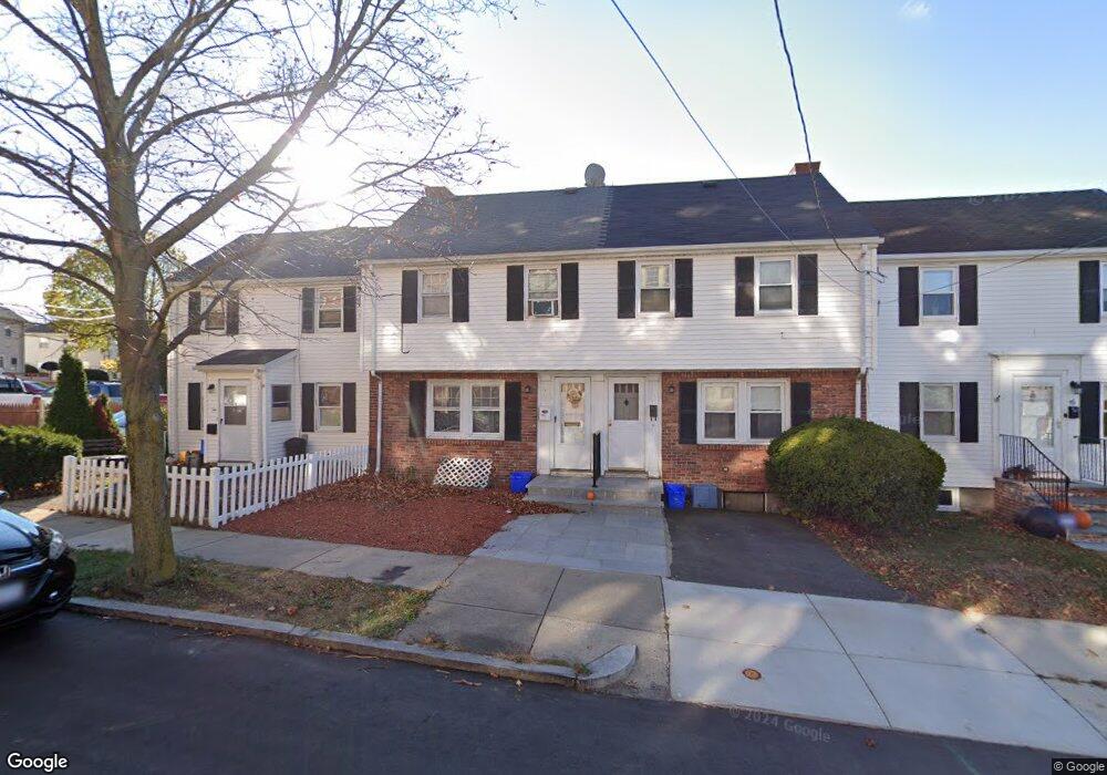
12 Perkins Ave Malden, MA 02148
Bellrock NeighborhoodEstimated Value: $479,832 - $499,000
2
Beds
2
Baths
810
Sq Ft
$604/Sq Ft
Est. Value
About This Home
This home is located at 12 Perkins Ave, Malden, MA 02148 and is currently estimated at $489,458, approximately $604 per square foot. 12 Perkins Ave is a home located in Middlesex County with nearby schools including Malden High School, Cheverus Centennial School, and St Anthony School.
Ownership History
Date
Name
Owned For
Owner Type
Purchase Details
Closed on
Aug 16, 2023
Sold by
Lee Rosalind L
Bought by
Rosalind L Lee Lt and Lee
Current Estimated Value
Purchase Details
Closed on
Nov 13, 2006
Sold by
Curreri Barbara M and Gardner Majorie M
Bought by
Dibenedetto Danielle
Home Financials for this Owner
Home Financials are based on the most recent Mortgage that was taken out on this home.
Original Mortgage
$168,000
Interest Rate
6.31%
Mortgage Type
Purchase Money Mortgage
Create a Home Valuation Report for This Property
The Home Valuation Report is an in-depth analysis detailing your home's value as well as a comparison with similar homes in the area
Home Values in the Area
Average Home Value in this Area
Purchase History
| Date | Buyer | Sale Price | Title Company |
|---|---|---|---|
| Rosalind L Lee Lt | -- | None Available | |
| Dibenedetto Danielle | $210,000 | -- |
Source: Public Records
Mortgage History
| Date | Status | Borrower | Loan Amount |
|---|---|---|---|
| Previous Owner | Dibenedetto Danielle | $168,000 |
Source: Public Records
Tax History
| Year | Tax Paid | Tax Assessment Tax Assessment Total Assessment is a certain percentage of the fair market value that is determined by local assessors to be the total taxable value of land and additions on the property. | Land | Improvement |
|---|---|---|---|---|
| 2025 | $45 | $400,800 | $247,500 | $153,300 |
| 2024 | $4,487 | $383,800 | $233,700 | $150,100 |
| 2023 | $4,290 | $351,900 | $213,100 | $138,800 |
| 2022 | $4,042 | $327,300 | $192,500 | $134,800 |
| 2021 | $3,748 | $305,000 | $171,900 | $133,100 |
| 2020 | $3,770 | $298,000 | $166,000 | $132,000 |
| 2019 | $3,633 | $273,800 | $158,100 | $115,700 |
| 2018 | $3,413 | $242,200 | $130,600 | $111,600 |
| 2017 | $3,244 | $228,900 | $125,500 | $103,400 |
| 2016 | $3,114 | $205,400 | $115,100 | $90,300 |
| 2015 | $2,800 | $178,000 | $109,600 | $68,400 |
| 2014 | $2,763 | $171,600 | $99,700 | $71,900 |
Source: Public Records
Map
Nearby Homes
- 80 Main St Unit 9
- 80 Main St Unit 4
- 67 Converse Ave Unit 69
- 82 Medford St Unit 2
- 120 Wyllis Ave Unit 217
- 120 Wyllis Ave Unit 401
- 171 Bell Rock St Unit 171
- 91-95 Medford St
- 340 Main St
- 89 Judson St
- 139 Bucknam St
- 56 Valley St
- 17 Garland Ave
- 48 Cleveland Ave
- 21 Central Ave Unit 10
- 21 Staples Ave Unit 26
- 15 Staples Ave Unit 45
- 15 Staples Ave Unit 31
- 68 Linden St Unit 49
- 322 Pearl St
- 14 Perkins Ave
- 14 Perkins Ave
- 14 Perkins Ave Unit 1
- 10 Perkins Ave
- 16 Perkins Ave
- 8 Perkins Ave
- 19 Regent Rd
- 21 Regent Rd
- 18 Perkins Ave
- 6 Perkins Ave Unit 8
- 6 Perkins Ave Unit 9
- 23 Regent Rd
- 17 Regent Rd
- 15 Regent Rd
- 6 Perkins Avenue 4
- 25 Regent Rd
- 22 Perkins Ave
- 27 Regent Rd
- 13 Regent Rd
- 29 Regent Rd
Your Personal Tour Guide
Ask me questions while you tour the home.