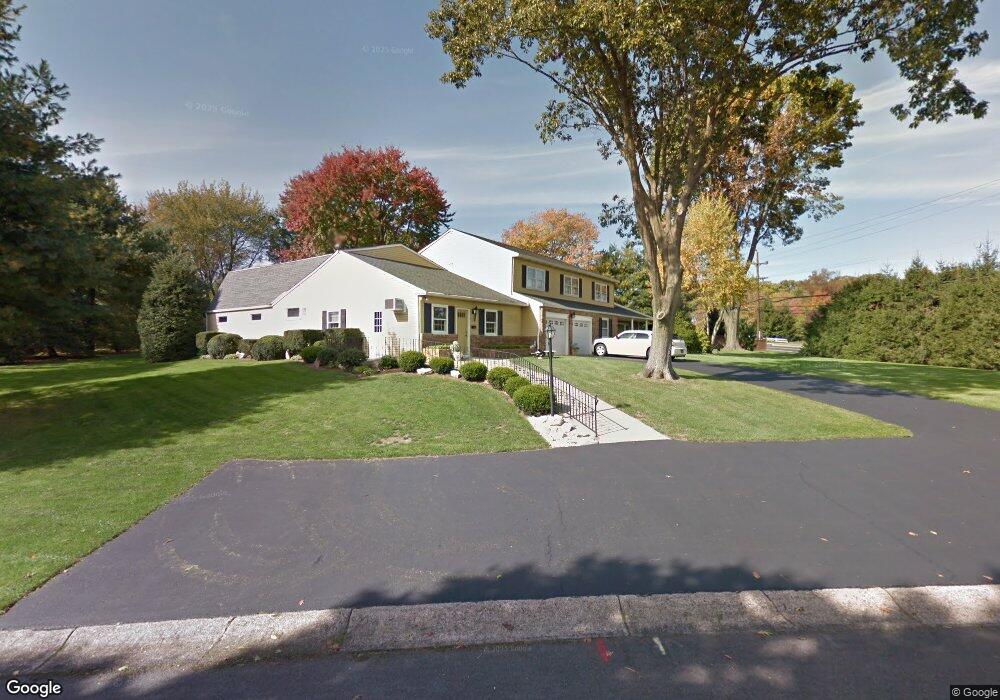
12 Pheasant Rd Doylestown, PA 18901
Estimated Value: $745,000 - $1,362,000
4
Beds
3
Baths
4,812
Sq Ft
$214/Sq Ft
Est. Value
About This Home
This home is located at 12 Pheasant Rd, Doylestown, PA 18901 and is currently estimated at $1,030,941, approximately $214 per square foot. 12 Pheasant Rd is a home located in Bucks County with nearby schools including Kutz Elementary School, Lenape Middle School, and Central Bucks High School-West.
Ownership History
Date
Name
Owned For
Owner Type
Purchase Details
Closed on
Feb 4, 2026
Sold by
Margenau Joyce M
Bought by
Joyce M Margenau Revocable Trust and Margenau
Current Estimated Value
Purchase Details
Closed on
May 19, 2017
Sold by
Margenau Wernerr K and Margenau Joyce M
Bought by
Margenau Werner K and Margenau Joyce M
Purchase Details
Closed on
Oct 23, 2006
Sold by
Margenau Werner K and Margenau Joyce M
Bought by
Margenau Werner K and Margenau Joyce M
Purchase Details
Closed on
Jun 16, 1971
Bought by
Margenau Werner K and Margenau Joyce M
Create a Home Valuation Report for This Property
The Home Valuation Report is an in-depth analysis detailing your home's value as well as a comparison with similar homes in the area
Home Values in the Area
Average Home Value in this Area
Purchase History
| Date | Buyer | Sale Price | Title Company |
|---|---|---|---|
| Joyce M Margenau Revocable Trust | -- | None Listed On Document | |
| Margenau Werner K | -- | None Available | |
| Margenau Werner K | -- | None Available | |
| Margenau Werner K | -- | -- |
Source: Public Records
Tax History
| Year | Tax Paid | Tax Assessment Tax Assessment Total Assessment is a certain percentage of the fair market value that is determined by local assessors to be the total taxable value of land and additions on the property. | Land | Improvement |
|---|---|---|---|---|
| 2025 | $11,255 | $63,600 | $8,160 | $55,440 |
| 2024 | $11,255 | $63,600 | $8,160 | $55,440 |
| 2023 | $10,732 | $63,600 | $8,160 | $55,440 |
| 2022 | $10,612 | $63,600 | $8,160 | $55,440 |
| 2021 | $10,394 | $63,600 | $8,160 | $55,440 |
| 2020 | $10,346 | $63,600 | $8,160 | $55,440 |
| 2019 | $10,235 | $63,600 | $8,160 | $55,440 |
| 2018 | $10,203 | $63,600 | $8,160 | $55,440 |
| 2017 | $10,124 | $63,600 | $8,160 | $55,440 |
| 2016 | $10,060 | $63,600 | $8,160 | $55,440 |
| 2015 | -- | $63,600 | $8,160 | $55,440 |
| 2014 | -- | $63,600 | $8,160 | $55,440 |
Source: Public Records
Map
Nearby Homes
- 117 Windover Ln
- 34 Houk Rd
- 3795 Route 202
- 3775 Buckingham Dr
- 2980 Yorkshire Rd
- 45 Springs Dr
- 000 Cherry Ln
- 150 Watercrest Dr
- 223 Cherry Ln
- 607 S Chubb Dr
- 5 Belmont Square
- 152 Watercrest Dr
- 3889 Robin Rd
- 3660 Buttonwood Dr
- 110 E Ashland St
- 146 E Court St
- 4245 Mechanicsville Rd
- 236 Green St
- 69 E Oakland Ave
- 150 Selner Ln
- 11 Eljan Dr
- 11 Pheasant Rd
- 18 Pheasant Rd
- 15 Eljan Dr
- 3215 Brentwood Dr
- 17 Pheasant Rd
- 19 Eljan Dr
- 450 E Swamp Rd
- 23 Pheasant Rd
- 3120 Brentwood Dr
- 20 Eljan Dr
- 25 Eljan Dr
- 24 Pheasant Rd
- 3655 E Swamp Rd Unit 105
- 3655 E Swamp Rd Unit 7
- 3655 E Swamp Rd Unit 4A
- 3655 E Swamp Rd Unit 130
- 3655 E Swamp Rd Unit 110
- 3655 E Swamp Rd Unit 100
- 3655 E Swamp Rd Unit 1
Your Personal Tour Guide
Ask me questions while you tour the home.