12 Phillip Dr Somerset, MA 02726
Pottersville NeighborhoodEstimated Value: $500,000 - $613,000
3
Beds
2
Baths
1,716
Sq Ft
$318/Sq Ft
Est. Value
About This Home
This home is located at 12 Phillip Dr, Somerset, MA 02726 and is currently estimated at $546,334, approximately $318 per square foot. 12 Phillip Dr is a home located in Bristol County with nearby schools including Chace Street School, Somerset Middle School, and Swansea Wood School.
Ownership History
Date
Name
Owned For
Owner Type
Purchase Details
Closed on
Dec 2, 2025
Sold by
Smith David C
Bought by
David C Smith T C and David Smith
Current Estimated Value
Purchase Details
Closed on
Jan 23, 2015
Sold by
Hathaway Bruce W
Bought by
Smith David C
Home Financials for this Owner
Home Financials are based on the most recent Mortgage that was taken out on this home.
Original Mortgage
$180,000
Interest Rate
3.96%
Mortgage Type
New Conventional
Purchase Details
Closed on
Nov 14, 2006
Sold by
Hathaway Bruce W
Bought by
Hathaway Sally T
Purchase Details
Closed on
Sep 29, 2000
Sold by
Maiato Beverly A
Bought by
Hathaway Bruce W
Home Financials for this Owner
Home Financials are based on the most recent Mortgage that was taken out on this home.
Original Mortgage
$158,400
Interest Rate
7.94%
Mortgage Type
Purchase Money Mortgage
Create a Home Valuation Report for This Property
The Home Valuation Report is an in-depth analysis detailing your home's value as well as a comparison with similar homes in the area
Home Values in the Area
Average Home Value in this Area
Purchase History
| Date | Buyer | Sale Price | Title Company |
|---|---|---|---|
| David C Smith T C | -- | -- | |
| Smith David C | $225,000 | -- | |
| Smith David C | $225,000 | -- | |
| Hathaway Sally T | -- | -- | |
| Hathaway Sally T | -- | -- | |
| Hathaway Bruce W | $198,000 | -- | |
| Hathaway Bruce W | $198,000 | -- |
Source: Public Records
Mortgage History
| Date | Status | Borrower | Loan Amount |
|---|---|---|---|
| Previous Owner | Smith David C | $180,000 | |
| Previous Owner | Hathaway Bruce W | $158,400 |
Source: Public Records
Tax History
| Year | Tax Paid | Tax Assessment Tax Assessment Total Assessment is a certain percentage of the fair market value that is determined by local assessors to be the total taxable value of land and additions on the property. | Land | Improvement |
|---|---|---|---|---|
| 2025 | $5,792 | $435,500 | $180,400 | $255,100 |
| 2024 | $5,397 | $422,000 | $180,400 | $241,600 |
| 2023 | $4,755 | $375,000 | $156,700 | $218,300 |
| 2022 | $4,396 | $330,800 | $135,300 | $195,500 |
| 2021 | $4,432 | $301,900 | $122,300 | $179,600 |
| 2020 | $4,342 | $285,300 | $122,300 | $163,000 |
| 2019 | $4,907 | $268,900 | $122,300 | $146,600 |
| 2018 | $4,355 | $256,800 | $118,200 | $138,600 |
| 2017 | $4,251 | $244,300 | $112,800 | $131,500 |
| 2016 | $4,278 | $244,300 | $112,800 | $131,500 |
| 2015 | $3,987 | $229,800 | $107,700 | $122,100 |
| 2014 | $5,441 | $225,300 | $104,600 | $120,700 |
Source: Public Records
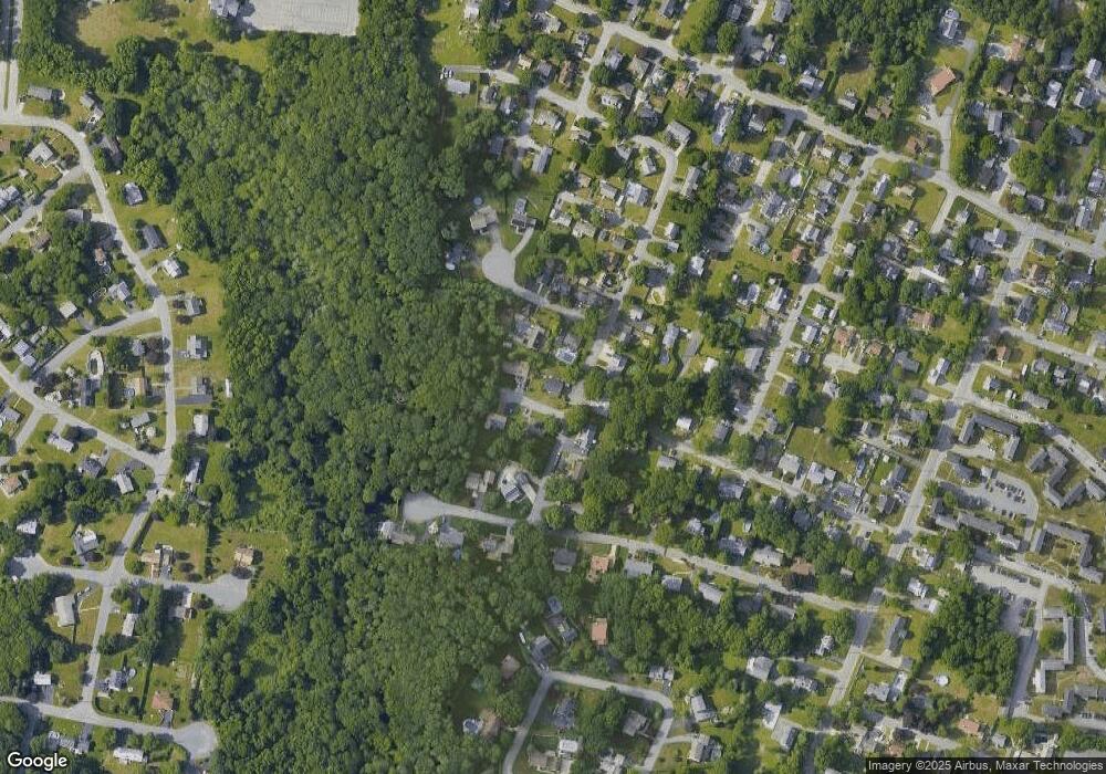
Map
Nearby Homes
- 46 Lilac Ave
- 0 Bark St Unit 1342599
- 0 Bark St Unit 73152576
- 210 Harrison Ave
- 54 Grant Ave
- 125 George St
- 300 Read St
- 2714 Riverside Ave
- 34 Doherty Ave
- 1553 Riverside Ave
- 1496 Riverside Ave
- 33 Rhinecliffe Rd
- 745 Bark St
- 35 Randall Ave
- 60 Aetna St
- 1174 Riverside Ave
- 8 Westhill Ave
- 1022 Riverside Ave
- 30 Tennyson Dr
- 131 Chateau Dr
- 3 Phillip Dr
- 8 Marigold Ave
- 20 Phillip Dr
- 6 Marigold Ave
- 9 Tulip Ave
- 10 Marigold Ave
- 11 Phillip Dr
- 4 Marigold Ave
- 33 Tulip Ave
- 28 Marigold Ave
- 194 Colonial Dr
- 42 Marigold Ave
- 26 Tulip Ave
- 146 Colonial Dr
- 174 Colonial Dr
- 41 Marigold Ave
- 38 Tulip Ave
- 132 Colonial Dr
- 0 Walnut St Unit 71141415
- 3 Walnut St
Your Personal Tour Guide
Ask me questions while you tour the home.