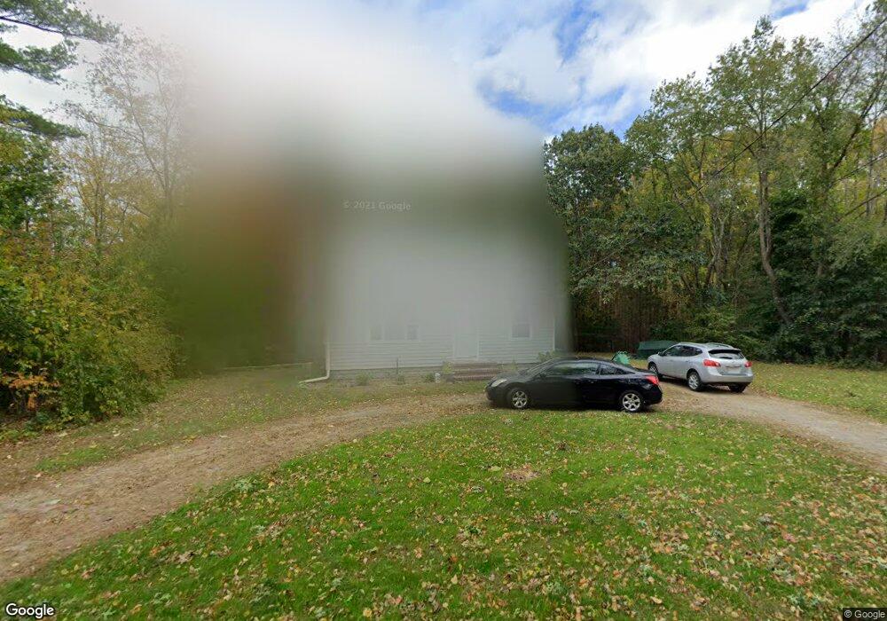
12 Phillips Rd Pembroke, MA 02359
Estimated Value: $524,000 - $562,760
3
Beds
1
Bath
1,344
Sq Ft
$405/Sq Ft
Est. Value
About This Home
This home is located at 12 Phillips Rd, Pembroke, MA 02359 and is currently estimated at $544,190, approximately $404 per square foot. 12 Phillips Rd is a home located in Plymouth County with nearby schools including Pembroke High School.
Ownership History
Date
Name
Owned For
Owner Type
Purchase Details
Closed on
Jan 31, 2020
Sold by
Mehtala Ronald O Est
Bought by
Poulos Alexis M
Current Estimated Value
Home Financials for this Owner
Home Financials are based on the most recent Mortgage that was taken out on this home.
Original Mortgage
$230,000
Outstanding Balance
$204,035
Interest Rate
3.7%
Mortgage Type
New Conventional
Estimated Equity
$340,155
Purchase Details
Closed on
Feb 3, 2016
Sold by
Mehtala Ronald O Est
Bought by
Poulos Sharon and Mehtala Ronald O
Create a Home Valuation Report for This Property
The Home Valuation Report is an in-depth analysis detailing your home's value as well as a comparison with similar homes in the area
Home Values in the Area
Average Home Value in this Area
Purchase History
| Date | Buyer | Sale Price | Title Company |
|---|---|---|---|
| Poulos Alexis M | $300,000 | None Available | |
| Poulos Alexis M | $300,000 | None Available | |
| Poulos Sharon | -- | -- | |
| Poulos Sharon | -- | -- |
Source: Public Records
Mortgage History
| Date | Status | Borrower | Loan Amount |
|---|---|---|---|
| Open | Poulos Alexis M | $230,000 | |
| Closed | Poulos Alexis M | $230,000 |
Source: Public Records
Tax History Compared to Growth
Tax History
| Year | Tax Paid | Tax Assessment Tax Assessment Total Assessment is a certain percentage of the fair market value that is determined by local assessors to be the total taxable value of land and additions on the property. | Land | Improvement |
|---|---|---|---|---|
| 2025 | $5,363 | $446,200 | $272,300 | $173,900 |
| 2024 | $5,036 | $418,600 | $246,100 | $172,500 |
| 2023 | $4,929 | $387,500 | $234,000 | $153,500 |
| 2022 | $4,415 | $312,000 | $192,900 | $119,100 |
| 2021 | $4,167 | $285,800 | $180,500 | $105,300 |
| 2020 | $4,083 | $281,800 | $176,500 | $105,300 |
| 2019 | $3,986 | $273,000 | $172,300 | $100,700 |
| 2018 | $3,784 | $254,100 | $164,700 | $89,400 |
| 2017 | $3,719 | $246,300 | $156,900 | $89,400 |
| 2016 | $3,582 | $234,700 | $145,300 | $89,400 |
| 2015 | $3,343 | $226,800 | $137,400 | $89,400 |
Source: Public Records
Map
Nearby Homes
- 180 Wampatuck St
- 23 Pondview Ave
- 42 Taylor Point Rd
- 6 Ruth Rd
- 140 Wampatuck St
- 20 Carol Ave
- 166 Pine Grove Ave
- 438 Maquan St
- 269 Lakeside Rd
- 110 Queens Brook Rd
- 127 Mattakeesett St
- 21 Beechwood Ave
- 8 Sandy Ln
- 53 Grove St
- 62 Toole Trail
- 89 West St
- 109 Richard Rd
- 628 Center St
- 290 School St
- 111 Plymouth St
- 338 Mattakeesett St
- 360 Mattakeesett St
- 4 Foster Ave
- 1 Foster Ave
- 11 Foster Ave
- 3 Foster Ave
- 1 Foster Ave
- 314 Mattakeesett St
- 18 Phillips Rd
- 15 Foster Ave
- 317 Mattakeesett St
- 315 Mattakeesett St
- 16 Park St
- 319 Mattakeesett St
- 5 Park St
- 3 Maquan St
- 311 Mattakeesett St
- 10 Park St
- 307 Mattakeesett St
- 5 Maquan St