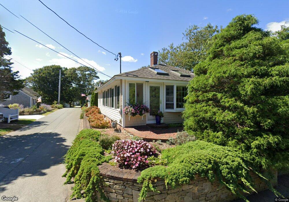
12 Pine St Harwich Port, MA 02646
Harwich Port NeighborhoodEstimated Value: $957,000 - $1,256,908
3
Beds
1
Bath
1,192
Sq Ft
$952/Sq Ft
Est. Value
About This Home
This home is located at 12 Pine St, Harwich Port, MA 02646 and is currently estimated at $1,135,227, approximately $952 per square foot. 12 Pine St is a home located in Barnstable County with nearby schools including Harwich Elementary School, Chatham Elementary School, and Monomoy Regional Middle School.
Create a Home Valuation Report for This Property
The Home Valuation Report is an in-depth analysis detailing your home's value as well as a comparison with similar homes in the area
Home Values in the Area
Average Home Value in this Area
Tax History Compared to Growth
Tax History
| Year | Tax Paid | Tax Assessment Tax Assessment Total Assessment is a certain percentage of the fair market value that is determined by local assessors to be the total taxable value of land and additions on the property. | Land | Improvement |
|---|---|---|---|---|
| 2025 | $6,911 | $1,169,300 | $664,600 | $504,700 |
| 2024 | $6,687 | $1,108,900 | $627,000 | $481,900 |
| 2023 | $6,500 | $978,900 | $570,000 | $408,900 |
| 2022 | $6,538 | $806,200 | $495,700 | $310,500 |
| 2021 | $6,218 | $723,000 | $450,600 | $272,400 |
| 2020 | $6,145 | $703,900 | $439,300 | $264,600 |
| 2019 | $5,713 | $658,900 | $419,400 | $239,500 |
| 2018 | $5,317 | $632,100 | $381,300 | $250,800 |
| 2017 | $5,221 | $582,100 | $347,500 | $234,600 |
| 2016 | $5,187 | $571,900 | $347,500 | $224,400 |
| 2015 | $5,010 | $558,500 | $340,600 | $217,900 |
| 2014 | $4,774 | $544,400 | $330,400 | $214,000 |
Source: Public Records
Map
Nearby Homes
- 23 Zylpha Rd
- 8 Wyndemere Bluffs Rd
- 515 Massachusetts 28
- 515 Route 28
- 405 Lower County Rd Unit 21
- 405 Lower County Rd Unit 23
- 15 Pleasant St Unit W24
- 292 Massachusetts 28 Unit 1
- 292 Massachusetts 28 Unit 7
- 9 Jason Ln
- 16 Mirasol Ln
- 7 Dunes Rd
- 53 Freeman St
- 297 Massachusetts 28
- 297 Massachusetts 28 Unit 1
- 28 Patricia Ln
- 292 Route 28 Unit 7
- 135 Sisson Rd
- 264 Massachusetts 28
- 74 Shore Rd