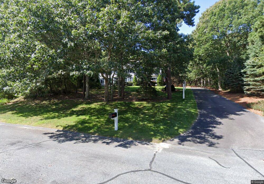
12 Pinnacle Ln Yarmouth Port, MA 02675
Yarmouth Port NeighborhoodEstimated Value: $869,988 - $980,000
4
Beds
3
Baths
2,672
Sq Ft
$353/Sq Ft
Est. Value
About This Home
This home is located at 12 Pinnacle Ln, Yarmouth Port, MA 02675 and is currently estimated at $943,247, approximately $353 per square foot. 12 Pinnacle Ln is a home located in Barnstable County with nearby schools including Dennis-Yarmouth Regional High School.
Ownership History
Date
Name
Owned For
Owner Type
Purchase Details
Closed on
Sep 29, 1998
Sold by
Dawley Walter and Dawley Nancy H
Bought by
Baroni Robert L and Baroni Alison J
Current Estimated Value
Home Financials for this Owner
Home Financials are based on the most recent Mortgage that was taken out on this home.
Original Mortgage
$162,000
Outstanding Balance
$35,377
Interest Rate
6.87%
Mortgage Type
Purchase Money Mortgage
Estimated Equity
$907,871
Create a Home Valuation Report for This Property
The Home Valuation Report is an in-depth analysis detailing your home's value as well as a comparison with similar homes in the area
Home Values in the Area
Average Home Value in this Area
Purchase History
| Date | Buyer | Sale Price | Title Company |
|---|---|---|---|
| Baroni Robert L | $60,000 | -- |
Source: Public Records
Mortgage History
| Date | Status | Borrower | Loan Amount |
|---|---|---|---|
| Open | Baroni Robert L | $162,000 |
Source: Public Records
Tax History Compared to Growth
Tax History
| Year | Tax Paid | Tax Assessment Tax Assessment Total Assessment is a certain percentage of the fair market value that is determined by local assessors to be the total taxable value of land and additions on the property. | Land | Improvement |
|---|---|---|---|---|
| 2025 | $5,672 | $801,100 | $172,300 | $628,800 |
| 2024 | $5,265 | $713,400 | $150,400 | $563,000 |
| 2023 | $5,722 | $705,600 | $137,000 | $568,600 |
| 2022 | $5,284 | $575,600 | $131,000 | $444,600 |
| 2021 | $4,702 | $491,800 | $131,000 | $360,800 |
| 2020 | $4,924 | $492,400 | $140,200 | $352,200 |
| 2019 | $4,677 | $463,100 | $140,200 | $322,900 |
| 2018 | $4,526 | $439,800 | $116,900 | $322,900 |
| 2017 | $4,334 | $432,500 | $116,900 | $315,600 |
| 2016 | $4,223 | $423,100 | $107,500 | $315,600 |
| 2015 | $4,515 | $449,700 | $102,800 | $346,900 |
Source: Public Records
Map
Nearby Homes
- 1 Barnacle Rd
- 44 Stratford Ln
- 43 Canterbury Rd
- 29 Boxwood Cir Unit 29
- 10 Oak Glen Unit 10
- 34 Kates Path
- 34 Kates Path Unit 34
- 6 Nimble Hill Dr
- 25 Oak Glen
- 25 Oak Glen Village Unit 25
- 17 Kates Path Unit A
- 64 Kates Path
- 111 Merchant Ave
- 228 Kates Path
- 8 Rowley Ln
- 7 Forest Gate Unit 7
- 50 John Hall Cartway
- 50 John Hall Cartway Unit 50
- 30 W Woods Cir Unit 30
- 30 W Woods