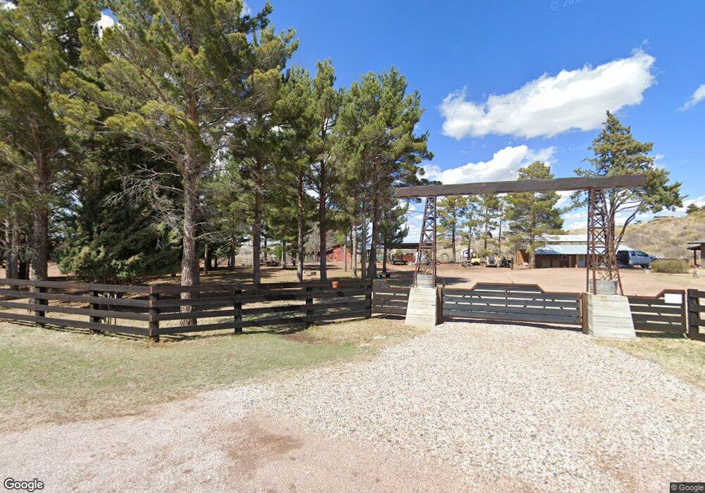
12 Pinto Trail Sonoita, AZ 85637
Estimated Value: $379,749 - $471,000
3
Beds
2
Baths
1,506
Sq Ft
$288/Sq Ft
Est. Value
About This Home
This home is located at 12 Pinto Trail, Sonoita, AZ 85637 and is currently estimated at $434,187, approximately $288 per square foot. 12 Pinto Trail is a home with nearby schools including Elgin Elementary School and Patagonia Union High School.
Ownership History
Date
Name
Owned For
Owner Type
Purchase Details
Closed on
Nov 19, 2015
Sold by
Fuller T Brock
Bought by
Gilbert Mike S
Current Estimated Value
Home Financials for this Owner
Home Financials are based on the most recent Mortgage that was taken out on this home.
Original Mortgage
$194,750
Outstanding Balance
$152,763
Interest Rate
3.71%
Mortgage Type
New Conventional
Estimated Equity
$281,424
Purchase Details
Closed on
Jan 19, 2010
Sold by
Fuller T Brock and Fuller Irma L
Bought by
Fuller T Brock and T Brock Fuller Living Trust
Create a Home Valuation Report for This Property
The Home Valuation Report is an in-depth analysis detailing your home's value as well as a comparison with similar homes in the area
Home Values in the Area
Average Home Value in this Area
Purchase History
| Date | Buyer | Sale Price | Title Company |
|---|---|---|---|
| Gilbert Mike S | $205,000 | Lawyers Title Of Arizona Inc | |
| Fuller T Brock | -- | None Available |
Source: Public Records
Mortgage History
| Date | Status | Borrower | Loan Amount |
|---|---|---|---|
| Open | Gilbert Mike S | $194,750 |
Source: Public Records
Tax History Compared to Growth
Tax History
| Year | Tax Paid | Tax Assessment Tax Assessment Total Assessment is a certain percentage of the fair market value that is determined by local assessors to be the total taxable value of land and additions on the property. | Land | Improvement |
|---|---|---|---|---|
| 2025 | $2,548 | $24,521 | $6,839 | $17,682 |
| 2024 | $2,548 | $22,348 | $4,117 | $18,231 |
| 2023 | $2,392 | $19,408 | $4,980 | $14,428 |
| 2022 | $2,307 | $16,796 | $4,316 | $12,480 |
| 2021 | $2,215 | $16,380 | $4,316 | $12,064 |
| 2020 | $2,283 | $16,619 | $4,316 | $12,303 |
| 2019 | $2,172 | $15,700 | $4,316 | $11,384 |
| 2018 | $2,136 | $15,242 | $4,316 | $10,926 |
| 2017 | $2,085 | $15,544 | $4,316 | $11,228 |
| 2016 | $3,909 | $15,003 | $3,918 | $11,085 |
| 2015 | $1,988 | $14,011 | $0 | $0 |
Source: Public Records
Map
Nearby Homes
- 98 Paint Trail
- 92 Cayuse Trail
- 1 Pinto Trail
- 56 Cayuse Trail
- 58 Mustang Trail
- 78 Harvest Dr
- 26&36 Colt Trail
- 67 Wagon Wheel Ln
- 131 Boyd Rd
- 25 Coyote Ct
- 0 Ranch Oasis Ct Unit 8
- 58 Apache Trail
- 17 Cayuse Trail
- 4 Mustang Trail
- 77 Terry Ln
- 74 Terry Ln
- 20 Buckskin Ln
- 92 Holbrook Dr
- 8 Chula Ct
- 36 Collie Dr
- 16 Pinto Trail
- 8 Pinto Trail
- 7 Pinto Trail
- 8 Pinto Trail Unit 55
- 93 Bronco Trail
- 87 Broncho Trail
- 00 Bronco Trail Lot Unit 60
- 9 Pinto Trail
- 86 Paint Trail
- 90 Broncho Trail
- 87 Paint Trail
- 80 Paint Trail Unit 84
- 80 Paint Trail
- 11 Pinto Trail
- 50 Pinto Trail
- 80 Broncho Trail
- 99 Paint Trail
- 5 Pinto Trail
- 47 Pony Trail Unit Lot 83
- 80 Pony Trail Unit Lot 83