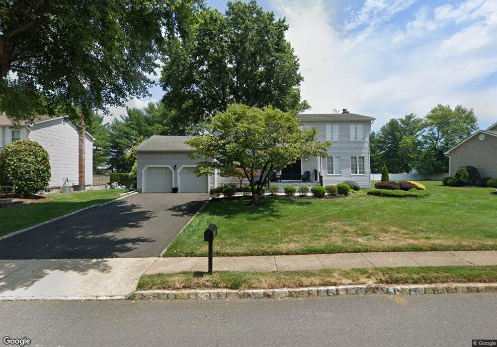
12 Pollack Dr Marlboro, NJ 07746
Estimated Value: $915,647 - $1,063,000
4
Beds
3
Baths
2,450
Sq Ft
$406/Sq Ft
Est. Value
About This Home
This home is located at 12 Pollack Dr, Marlboro, NJ 07746 and is currently estimated at $994,412, approximately $405 per square foot. 12 Pollack Dr is a home located in Monmouth County with nearby schools including Marlboro Elementary School, Marlboro Middle School, and Marlboro High School.
Ownership History
Date
Name
Owned For
Owner Type
Purchase Details
Closed on
Jun 1, 2010
Sold by
Bezoza Teddy T and Bezoza Dasha
Bought by
Troicki Michael S and Troicki Stacey
Current Estimated Value
Home Financials for this Owner
Home Financials are based on the most recent Mortgage that was taken out on this home.
Original Mortgage
$429,600
Outstanding Balance
$288,765
Interest Rate
5.03%
Mortgage Type
New Conventional
Estimated Equity
$705,647
Create a Home Valuation Report for This Property
The Home Valuation Report is an in-depth analysis detailing your home's value as well as a comparison with similar homes in the area
Home Values in the Area
Average Home Value in this Area
Purchase History
| Date | Buyer | Sale Price | Title Company |
|---|---|---|---|
| Troicki Michael S | $537,000 | Shepherd Title Agency |
Source: Public Records
Mortgage History
| Date | Status | Borrower | Loan Amount |
|---|---|---|---|
| Open | Troicki Michael S | $429,600 |
Source: Public Records
Tax History Compared to Growth
Tax History
| Year | Tax Paid | Tax Assessment Tax Assessment Total Assessment is a certain percentage of the fair market value that is determined by local assessors to be the total taxable value of land and additions on the property. | Land | Improvement |
|---|---|---|---|---|
| 2025 | $13,074 | $524,200 | $208,800 | $315,400 |
| 2024 | $12,497 | $524,200 | $208,800 | $315,400 |
| 2023 | $12,497 | $524,200 | $208,800 | $315,400 |
| 2022 | $12,177 | $524,200 | $208,800 | $315,400 |
| 2021 | $12,057 | $524,200 | $208,800 | $315,400 |
| 2020 | $12,051 | $524,200 | $208,800 | $315,400 |
| 2019 | $12,057 | $524,200 | $208,800 | $315,400 |
| 2018 | $11,581 | $512,200 | $208,800 | $303,400 |
| 2017 | $11,355 | $512,200 | $208,800 | $303,400 |
| 2016 | $11,309 | $512,200 | $208,800 | $303,400 |
| 2015 | $11,140 | $512,200 | $208,800 | $303,400 |
| 2014 | $9,847 | $448,000 | $178,800 | $269,200 |
Source: Public Records
Map
Nearby Homes
- 68 Rockwell Cir
- 108 Scarborough Way
- 211 Bradwick Way
- 208 Bradwick Way
- 142 Scarborough Way
- 222 Everton Blvd
- 333 Van Dusen Dr
- 680 - 21.22 County Road 520
- 680 - 21.21 County Road 520
- 680 - 21.2 County Road 520
- 680 - 21.19 County Road 520
- 680 - 21.18 County Road 520
- 680 - 21.17 County Road 520
- 680 - 21.16 County Road 520
- 680 - 21.15 County Road 520
- 680 - 21.14 County Road 520
- 680 - 21.13 County Road 520
- 680 - 21.12 County Road 520
- 680 - 21.11 County Road 520
- 680 - 21.1 County Road 520