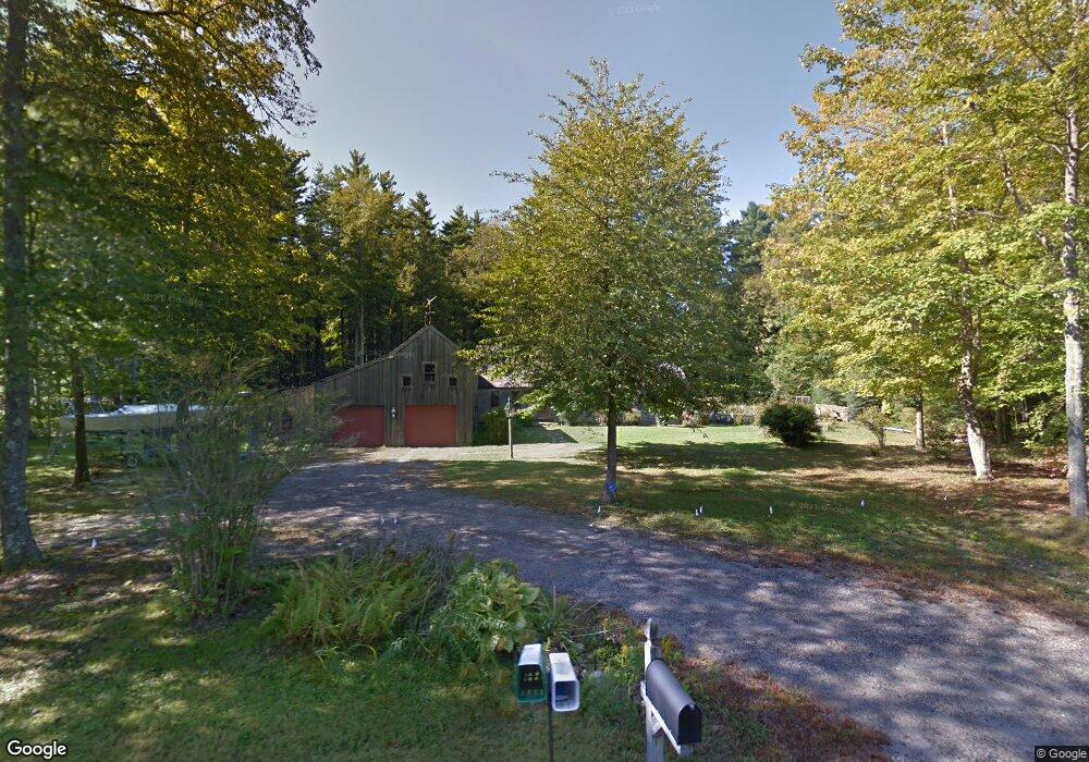
12 Prides Crossing Eliot, ME 03903
South Eliot NeighborhoodEstimated Value: $642,803 - $730,000
3
Beds
3
Baths
1,900
Sq Ft
$364/Sq Ft
Est. Value
About This Home
This home is located at 12 Prides Crossing, Eliot, ME 03903 and is currently estimated at $692,451, approximately $364 per square foot. 12 Prides Crossing is a home located in York County with nearby schools including Marshwood High School and Seacoast Waldorf School.
Ownership History
Date
Name
Owned For
Owner Type
Purchase Details
Closed on
Apr 20, 2010
Sold by
Edson Albert R and Edson Dorothy S
Bought by
Sloan Caleb
Current Estimated Value
Home Financials for this Owner
Home Financials are based on the most recent Mortgage that was taken out on this home.
Original Mortgage
$300,000
Outstanding Balance
$199,513
Interest Rate
4.97%
Mortgage Type
Purchase Money Mortgage
Estimated Equity
$492,938
Create a Home Valuation Report for This Property
The Home Valuation Report is an in-depth analysis detailing your home's value as well as a comparison with similar homes in the area
Home Values in the Area
Average Home Value in this Area
Purchase History
| Date | Buyer | Sale Price | Title Company |
|---|---|---|---|
| Sloan Caleb | -- | -- |
Source: Public Records
Mortgage History
| Date | Status | Borrower | Loan Amount |
|---|---|---|---|
| Open | Sloan Caleb | $300,000 |
Source: Public Records
Tax History Compared to Growth
Tax History
| Year | Tax Paid | Tax Assessment Tax Assessment Total Assessment is a certain percentage of the fair market value that is determined by local assessors to be the total taxable value of land and additions on the property. | Land | Improvement |
|---|---|---|---|---|
| 2024 | $5,670 | $478,500 | $164,500 | $314,000 |
| 2023 | $5,462 | $445,900 | $158,100 | $287,800 |
| 2022 | $5,236 | $432,700 | $158,100 | $274,600 |
| 2021 | $5,349 | $420,000 | $158,100 | $261,900 |
| 2020 | $5,834 | $396,900 | $152,800 | $244,100 |
| 2019 | $5,834 | $396,900 | $152,800 | $244,100 |
| 2018 | $5,834 | $396,900 | $152,800 | $244,100 |
| 2017 | $5,676 | $396,900 | $152,800 | $244,100 |
| 2016 | $1,362 | $396,900 | $152,800 | $244,100 |
| 2015 | $5,557 | $396,900 | $152,800 | $244,100 |
| 2014 | $5,477 | $396,900 | $152,800 | $244,100 |
| 2013 | $5,227 | $396,900 | $152,800 | $244,100 |
Source: Public Records
Map
Nearby Homes
- 18 Governor Hill Rd
- 1708 State Rd
- 708 River Rd Unit 3
- 708 River Rd Unit 2
- TBD Cedar Rd
- 25 Shore Ln
- Lot 1 Cedar Tbd
- Lot 2 Cedar Tbd
- 25 Fosters Dr
- 4 Shore Ln
- Slip B18 Little Bay
- 10 Broadfields Rd
- 0 Cote Dr
- 34 Imperial Dr
- 82 Stacy Ln
- 16 Imperial Dr
- 25 Heritage Dr
- 19 Heritage Dr
- 27 Wentworth Terrace
- 41 Clearwater Dr
- 11 Jennie Ln
- 14 Prides Crossing
- 7 Prides Crossing
- 10 Prides Crossing
- 8 Jennie Ln
- 5 Prides Crossing
- 20 Prides Crossing
- 184 Jennie Ln
- 7 Jennie Ln
- 1 Prides Crossing
- 197 Jennie Ln
- 198 Jennie Ln
- 24 Knoll Rd
- 21 Prides Crossing
- 4 Thornton Ln
- 20 Knoll Rd
- 205 Jennie Ln
- 15 Jennie Ln
- 23 Prides Crossing
- 155 Jennie Ln