12 Pumpkin Ridge Rd Vinalhaven, ME 04863
Estimated Value: $315,000 - $455,000
3
Beds
1
Bath
1,200
Sq Ft
$296/Sq Ft
Est. Value
About This Home
This home is located at 12 Pumpkin Ridge Rd, Vinalhaven, ME 04863 and is currently estimated at $354,896, approximately $295 per square foot. 12 Pumpkin Ridge Rd is a home with nearby schools including Vinalhaven School.
Ownership History
Date
Name
Owned For
Owner Type
Purchase Details
Closed on
Jun 5, 2012
Sold by
Swanson Carl B Est
Bought by
King Chad W and Crossman Sarah D
Current Estimated Value
Home Financials for this Owner
Home Financials are based on the most recent Mortgage that was taken out on this home.
Original Mortgage
$152,000
Outstanding Balance
$104,938
Interest Rate
3.9%
Mortgage Type
Commercial
Estimated Equity
$249,958
Create a Home Valuation Report for This Property
The Home Valuation Report is an in-depth analysis detailing your home's value as well as a comparison with similar homes in the area
Home Values in the Area
Average Home Value in this Area
Purchase History
| Date | Buyer | Sale Price | Title Company |
|---|---|---|---|
| King Chad W | -- | -- |
Source: Public Records
Mortgage History
| Date | Status | Borrower | Loan Amount |
|---|---|---|---|
| Open | King Chad W | $152,000 |
Source: Public Records
Tax History
| Year | Tax Paid | Tax Assessment Tax Assessment Total Assessment is a certain percentage of the fair market value that is determined by local assessors to be the total taxable value of land and additions on the property. | Land | Improvement |
|---|---|---|---|---|
| 2025 | $3,611 | $269,500 | $87,900 | $181,600 |
| 2024 | $3,477 | $269,500 | $87,900 | $181,600 |
| 2023 | $2,247 | $182,700 | $76,900 | $105,800 |
| 2022 | $2,509 | $214,300 | $76,900 | $137,400 |
| 2021 | $2,728 | $198,700 | $65,000 | $133,700 |
| 2020 | $2,658 | $195,000 | $61,900 | $133,100 |
| 2019 | $690 | $195,000 | $61,900 | $133,100 |
| 2018 | $4,070 | $195,000 | $61,900 | $133,100 |
| 2017 | $2,225 | $195,000 | $61,900 | $133,100 |
| 2016 | $2,297 | $202,900 | $61,900 | $141,000 |
| 2015 | $2,061 | $202,900 | $61,900 | $141,000 |
| 2014 | $2,042 | $205,200 | $61,900 | $143,300 |
Source: Public Records
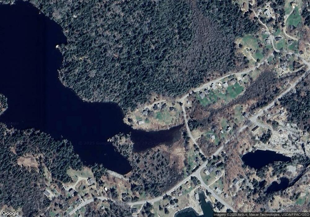
Map
Nearby Homes
- 0A Old Harbor Rd
- 38 W Main St Unit 1
- 64 Main St
- 26 W Main St
- 54 W Main St
- 11 Cottage St
- 90 Greens Island
- 50 E Boston Rd
- 86 City Point Rd
- 00 Tolman Rd
- 006-60 Round the Island Rd
- Lot #5 George Wright Rd
- Lot #2 Hidden Dr
- Lot #1 Southern Harbor Cove
- 274 W District Rd
- 163 Middle Rd
- 197 N Shore Rd
- 1 Mussel Ridge Ln
- 12 Fifield Point Rd
- 36 Green Head Rd
Your Personal Tour Guide
Ask me questions while you tour the home.