12 Rachel Ct Clinton, NJ 08809
Estimated Value: $610,000 - $702,000
--
Bed
--
Bath
1,615
Sq Ft
$408/Sq Ft
Est. Value
About This Home
This home is located at 12 Rachel Ct, Clinton, NJ 08809 and is currently estimated at $658,765, approximately $407 per square foot. 12 Rachel Ct is a home located in Hunterdon County with nearby schools including Clinton Public School, North Hunterdon High School, and The Goddard School - Clinton.
Ownership History
Date
Name
Owned For
Owner Type
Purchase Details
Closed on
Sep 18, 2018
Sold by
Clarke Elizabeth A
Bought by
Thompson Donald R and Thompson Barbara E
Current Estimated Value
Purchase Details
Closed on
Jul 14, 2006
Sold by
Castle Stanley F and Castle Linda J
Bought by
Clarke Elizabeth
Purchase Details
Closed on
Jun 30, 1997
Sold by
Melville Michael
Bought by
Castle Stanley F and Castle Linda J
Home Financials for this Owner
Home Financials are based on the most recent Mortgage that was taken out on this home.
Original Mortgage
$214,000
Interest Rate
7.86%
Purchase Details
Closed on
Dec 8, 1995
Sold by
Aspin David and Aspin Barbara
Bought by
Melville Michael and Melville Maelyn
Create a Home Valuation Report for This Property
The Home Valuation Report is an in-depth analysis detailing your home's value as well as a comparison with similar homes in the area
Home Values in the Area
Average Home Value in this Area
Purchase History
| Date | Buyer | Sale Price | Title Company |
|---|---|---|---|
| Thompson Donald R | $425,000 | Icortes & Hay Title Agency I | |
| Clarke Elizabeth | $525,000 | None Available | |
| Castle Stanley F | $257,000 | -- | |
| Melville Michael | $254,000 | -- |
Source: Public Records
Mortgage History
| Date | Status | Borrower | Loan Amount |
|---|---|---|---|
| Previous Owner | Castle Stanley F | $214,000 |
Source: Public Records
Tax History Compared to Growth
Tax History
| Year | Tax Paid | Tax Assessment Tax Assessment Total Assessment is a certain percentage of the fair market value that is determined by local assessors to be the total taxable value of land and additions on the property. | Land | Improvement |
|---|---|---|---|---|
| 2025 | $15,362 | $541,500 | $158,500 | $383,000 |
| 2024 | $15,472 | $511,200 | $158,500 | $352,700 |
| 2023 | $15,472 | $494,000 | $158,500 | $335,500 |
| 2022 | $14,660 | $454,300 | $158,500 | $295,800 |
| 2021 | $14,005 | $423,100 | $158,500 | $264,600 |
| 2020 | $13,530 | $418,500 | $158,500 | $260,000 |
| 2019 | $13,270 | $418,100 | $161,500 | $256,600 |
| 2018 | $13,143 | $415,800 | $161,500 | $254,300 |
| 2017 | $12,947 | $410,100 | $154,500 | $255,600 |
| 2016 | $12,532 | $397,200 | $154,500 | $242,700 |
| 2015 | $12,309 | $394,900 | $154,500 | $240,400 |
| 2014 | $11,909 | $386,900 | $154,500 | $232,400 |
Source: Public Records
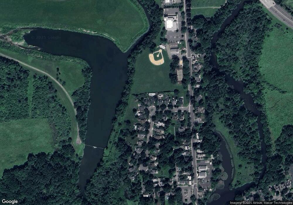
Map
Nearby Homes
- 111 Center St
- 66 Leigh St
- 54 W Main St
- 18 Union Rd
- 16 Harrison St
- 4 Lingert Ave
- 23 Lingert Ave
- 35 Lingert Ave
- 58 Westgate Dr Unit C0505
- 15 Pinehurst Cir Unit C1902
- 89 N Slope
- 2 Arcola Way
- 4 Arcola Way
- 9 N Slope Unit 111A
- 32 Hillside Ct
- 60 Center St
- 41 Overlook Dr
- 19 Crossway Unit 2611A
- 9 Evergreen Dr
- 1 Rossi Dr