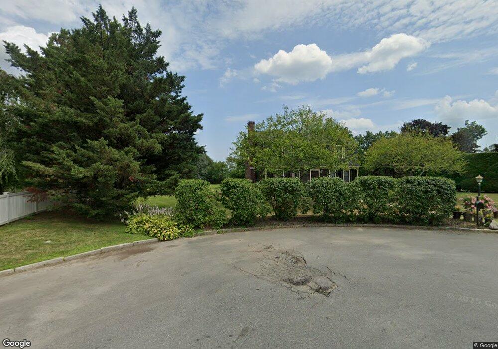
12 Rand Rd Salem, MA 01970
North Salem NeighborhoodEstimated Value: $708,000 - $835,000
Studio
1
Bath
1,927
Sq Ft
$409/Sq Ft
Est. Value
About This Home
This home is located at 12 Rand Rd, Salem, MA 01970 and is currently estimated at $787,507, approximately $408 per square foot. 12 Rand Rd is a home located in Essex County with nearby schools including Bates Elementary School, Saltonstall School, and Carlton Elementary School.
Create a Home Valuation Report for This Property
The Home Valuation Report is an in-depth analysis detailing your home's value as well as a comparison with similar homes in the area
Home Values in the Area
Average Home Value in this Area
Tax History
| Year | Tax Paid | Tax Assessment Tax Assessment Total Assessment is a certain percentage of the fair market value that is determined by local assessors to be the total taxable value of land and additions on the property. | Land | Improvement |
|---|---|---|---|---|
| 2025 | $7,862 | $693,300 | $299,600 | $393,700 |
| 2024 | $7,844 | $675,000 | $299,300 | $375,700 |
| 2023 | $7,009 | $560,300 | $235,600 | $324,700 |
| 2022 | $7,012 | $529,200 | $235,600 | $293,600 |
| 2021 | $7,231 | $524,000 | $235,600 | $288,400 |
| 2020 | $7,419 | $513,400 | $235,600 | $277,800 |
| 2019 | $7,281 | $482,200 | $224,300 | $257,900 |
| 2018 | $7,222 | $469,600 | $224,300 | $245,300 |
| 2017 | $7,007 | $441,800 | $205,600 | $236,200 |
| 2016 | $6,907 | $440,800 | $205,600 | $235,200 |
| 2015 | $7,081 | $431,500 | $205,600 | $225,900 |
Source: Public Records
Map
Nearby Homes
- 41 Dearborn St
- 44 Orne St Unit 44
- 17 Orchard St
- 27 Liberty Hill Ave
- 40 Buffum St Unit 2
- 40 Buffum St Unit 1
- 112 North St
- 16 Franklin St Unit 2403
- 16 Franklin St Unit 1303
- 16 Franklin St Unit 2202
- 11 Barton St
- 16 Oakland St
- 8 Cushing St Unit 2
- 3 S Mason St
- 9 Highland St
- 12 Summit Ave Unit 4
- 1 Dunlap St
- 31 N Washington Square Unit 3
- 6 Pilgrim Heights
- 49 Federal St Unit 2
Your Personal Tour Guide
Ask me questions while you tour the home.