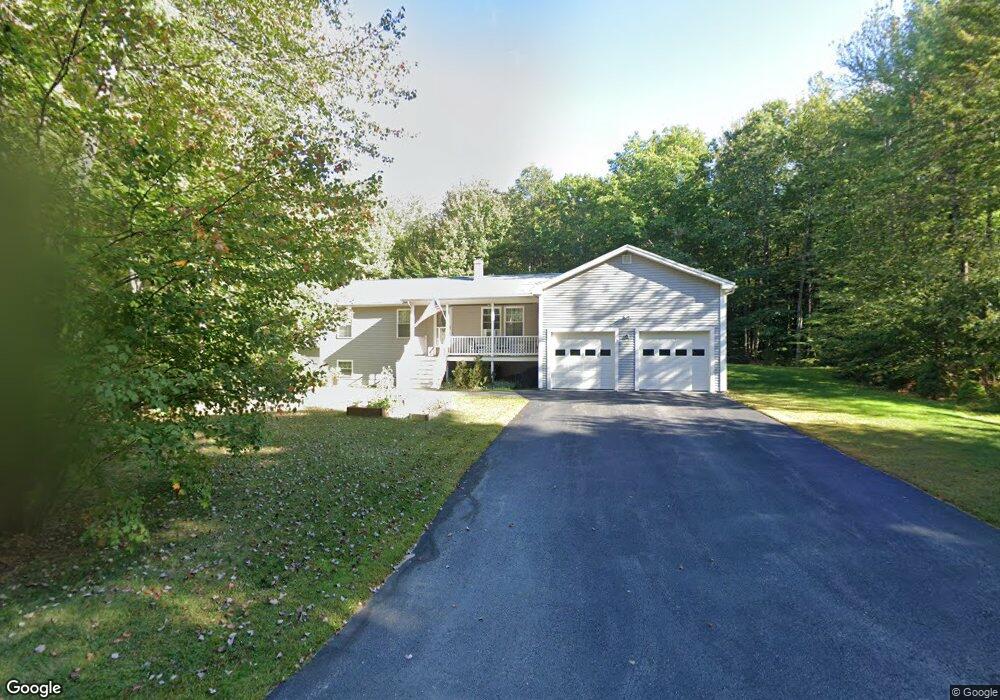
12 Raven Dr Poland, ME 04274
Estimated Value: $365,784 - $485,000
About This Home
This home is located at 12 Raven Dr, Poland, ME 04274 and is currently estimated at $404,446, approximately $379 per square foot. 12 Raven Dr is a home with nearby schools including Poland Community School, Bruce M. Whittier Middle School, and Poland Regional High School.
Ownership History
We collect this data history from publicly available records. To have your information removed, we recommend requesting removal directly through your county’s website.
Purchase Details
Purchase Details
Purchase Details
Purchase Details
Home Values in the Area
Average Home Value in this Area
Purchase History
We collect this data history from publicly available records. To have your information removed, we recommend requesting removal directly through your county’s website.
| Date | Buyer | Sale Price | Title Company |
|---|---|---|---|
| -- | None Available | ||
| -- | -- | ||
| -- | -- | ||
| -- | -- | ||
| -- | -- | ||
| -- | -- | ||
| -- | -- |
Tax History
We collect this data history from publicly available records. To have your information removed, we recommend requesting removal directly through your county’s website.
| Year | Tax Paid | Tax Assessment Tax Assessment Total Assessment is a certain percentage of the fair market value that is determined by local assessors to be the total taxable value of land and additions on the property. | Land | Improvement |
|---|---|---|---|---|
| 2024 | $4,556 | $275,600 | $80,100 | $195,500 |
| 2023 | $3,759 | $275,600 | $80,100 | $195,500 |
| 2022 | $3,467 | $229,600 | $66,700 | $162,900 |
| 2021 | $3,467 | $229,600 | $66,700 | $162,900 |
| 2020 | $3,439 | $229,600 | $66,700 | $162,900 |
| 2019 | $3,439 | $229,600 | $66,700 | $162,900 |
| 2018 | $3,402 | $227,120 | $66,740 | $160,380 |
| 2016 | $3,257 | $226,340 | $66,740 | $159,600 |
| 2015 | $3,214 | $226,340 | $66,740 | $159,600 |
| 2014 | $3,169 | $226,340 | $66,740 | $159,600 |
| 2013 | $3,090 | $226,340 | $66,740 | $159,600 |
Map
- 46-47D Hines Rd & Main St
- 46A/47Dpar Maine St
- 42 Birchwood Ln
- 60 Cardinal Ln
- 42 Birch Dr
- 56 Simplicity Way
- 798 Maine St
- Lot 46-1 Maine St
- Lot42-1001 Maine St Unit Map 10
- Lot 42 Maine St Unit Map 10
- 911 Maine St
- 234 Cleve Tripp Rd
- 494 Snow Hill Rd
- 158 Jackson Rd
- 18 Mcalister Ln
- TBD Emmaus Rd
- 14 Golden Way
- 71A Black Point Rd
- 63 Black Point Rd
- 26 Sawyer Rd
Ask me questions while you tour the home.