12 Red Baron Rd Ossipee, NH 03864
Estimated Value: $329,000 - $447,036
About This Home
This home is located at 12 Red Baron Rd, Ossipee, NH 03864 and is currently estimated at $379,759, approximately $158 per square foot. 12 Red Baron Rd is a home with nearby schools including Ossipee Central School, Kingswood Regional Middle School, and Kingswood Regional High School.
Ownership History
We collect this data history from publicly available records. To have your information removed, we recommend requesting removal directly through your county’s website.
Purchase Details
Purchase Details
Purchase Details
Home Financials for this Owner
Home Financials are based on the most recent Mortgage that was taken out on this home.Purchase Details
Home Financials for this Owner
Home Financials are based on the most recent Mortgage that was taken out on this home.Home Values in the Area
Average Home Value in this Area
Purchase History
We collect this data history from publicly available records. To have your information removed, we recommend requesting removal directly through your county’s website.
| Date | Buyer | Sale Price | Title Company |
|---|---|---|---|
| $110,000 | -- | ||
| $78,200 | -- | ||
| $200,000 | -- | ||
| $93,500 | -- |
Mortgage History
We collect this data history from publicly available records. To have your information removed, we recommend requesting removal directly through your county’s website.
| Date | Status | Borrower | Loan Amount |
|---|---|---|---|
| Previous Owner | $180,000 | ||
| Previous Owner | $93,339 |
Tax History
We collect this data history from publicly available records. To have your information removed, we recommend requesting removal directly through your county’s website.
| Year | Tax Paid | Tax Assessment Tax Assessment Total Assessment is a certain percentage of the fair market value that is determined by local assessors to be the total taxable value of land and additions on the property. | Land | Improvement |
|---|---|---|---|---|
| 2025 | $4,503 | $352,600 | $100,000 | $252,600 |
| 2024 | $4,090 | $352,600 | $100,000 | $252,600 |
| 2023 | $3,864 | $372,600 | $120,000 | $252,600 |
| 2022 | $4,136 | $225,000 | $50,100 | $174,900 |
| 2021 | $4,121 | $224,800 | $50,100 | $174,700 |
| 2020 | $3,799 | $222,800 | $50,100 | $172,700 |
| 2019 | $3,812 | $222,800 | $50,100 | $172,700 |
| 2018 | $4,340 | $187,900 | $30,900 | $157,000 |
| 2016 | $3,557 | $184,300 | $30,900 | $153,400 |
| 2015 | $3,378 | $184,300 | $30,900 | $153,400 |
| 2014 | -- | $197,500 | $40,300 | $157,200 |
| 2013 | $3,435 | $197,500 | $40,300 | $157,200 |
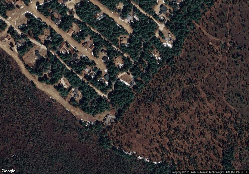
Map
- 36 Logan Way
- 26 Logan Way
- 23 Logan Way
- 105 Nichols Rd
- 2070 New Hampshire 16
- 74+76 Newman Drew Rd
- 439 Silver Pine Ln
- 1785 White Mountain Hwy
- 1800 Route 16
- 50 Patch Pond Rd Unit 21
- 50 Patch Pond Rd Unit 13
- Lot 18.1 White Mountain Hwy
- 7 Patriots Way
- 144 Chipmunk Ln
- Lot 113/114 Rocky Ln
- 14 Oakwood Dr
- 2 Puritan Ln
- 71 Mason Dr
- 78 Berry Ln
- 206 E Chocorua River Dr
- 17 Red Baron Rd
- 8 Red Baron Rd
- 19 Red Baron Rd
- 10 Skyhawk Dr
- 6 Skyhawk Dr
- 10 Skyhawk Dr Unit 77
- 6 Skyhawk Dr Unit 75
- 14 Skyhawk Dr
- 19 Red Baron Rd
- 5 Skyhawk Dr
- 6 Cherokee Ln
- 7 Red Baron Rd
- 20 Red Baron Rd
- 17 Red Barron Rd
- 20 Red Barron Rd
- 13 Red Barron Rd
- 10 Red Barron Rd
- 6 Red Barron Rd
- 16 Red Barron Rd
- 12 Red Barron Rd
Ask me questions while you tour the home.