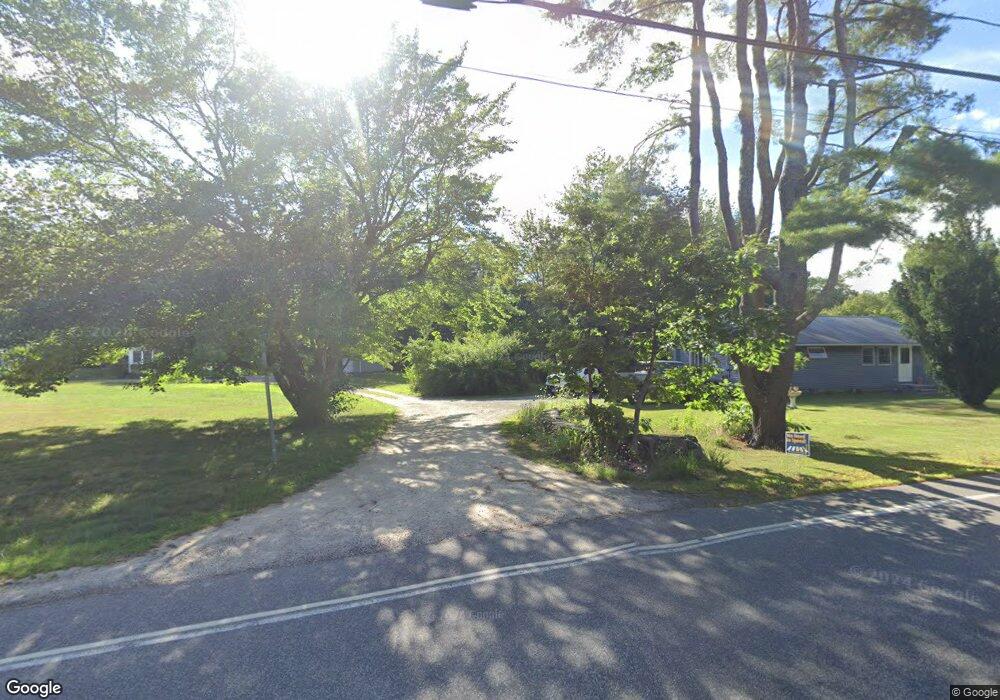
12 Redmond Dr Kennebunkport, ME 04046
Cape Porpoise NeighborhoodEstimated Value: $381,985 - $991,000
2
Beds
1
Bath
576
Sq Ft
$1,159/Sq Ft
Est. Value
About This Home
This home is located at 12 Redmond Dr, Kennebunkport, ME 04046 and is currently estimated at $667,662, approximately $1,159 per square foot. 12 Redmond Dr is a home with nearby schools including Kennebunk High School.
Create a Home Valuation Report for This Property
The Home Valuation Report is an in-depth analysis detailing your home's value as well as a comparison with similar homes in the area
Home Values in the Area
Average Home Value in this Area
Tax History Compared to Growth
Tax History
| Year | Tax Paid | Tax Assessment Tax Assessment Total Assessment is a certain percentage of the fair market value that is determined by local assessors to be the total taxable value of land and additions on the property. | Land | Improvement |
|---|---|---|---|---|
| 2024 | $1,701 | $261,700 | $176,500 | $85,200 |
| 2023 | $1,636 | $261,700 | $176,500 | $85,200 |
| 2022 | $1,570 | $261,700 | $176,500 | $85,200 |
| 2021 | $1,692 | $176,300 | $104,300 | $72,000 |
| 2020 | $1,666 | $176,300 | $104,300 | $72,000 |
| 2019 | $1,666 | $176,300 | $104,300 | $72,000 |
| 2018 | $1,544 | $176,300 | $104,300 | $72,000 |
| 2017 | $1,534 | $176,300 | $104,300 | $72,000 |
| 2016 | $1,460 | $176,300 | $104,300 | $72,000 |
| 2015 | $1,358 | $176,300 | $104,300 | $72,000 |
| 2014 | $1,345 | $176,300 | $104,300 | $72,000 |
Source: Public Records
Map
Nearby Homes
- 0 Goosefair
- 12 Eel Bridge Ln
- 160 Main St
- 22 Pier Rd Unit 1
- 22 Pier Rd Unit 2
- 7 Pier Rd Unit 7
- 6 Roberts Ln
- 36 Roberts Ln
- 105 Old Cape Rd
- 0 Wildes District Rd
- 442 Kings Hwy
- 0 Campbell Ln Unit 1630141
- 12 Evening Place
- 116 School St
- 190 Mills Rd
- 51 Langsford Rd
- 5 Harwood Dr
- 20 Stone Rd
- 5 Brooks St
- 113 Wildes District Rd