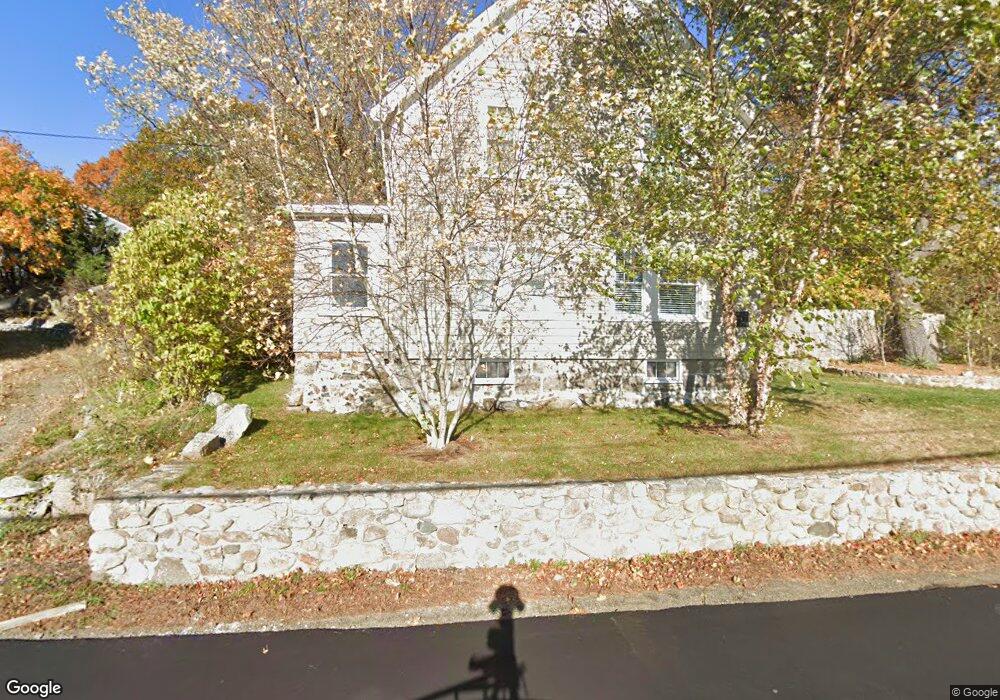
12 Reynard St Gloucester, MA 01930
Estimated Value: $706,000 - $760,000
4
Beds
1
Bath
1,694
Sq Ft
$429/Sq Ft
Est. Value
About This Home
This home is located at 12 Reynard St, Gloucester, MA 01930 and is currently estimated at $726,673, approximately $428 per square foot. 12 Reynard St is a home located in Essex County with nearby schools including Beeman Memorial, Ralph B O'maley Middle School, and Faith Christian School.
Ownership History
Date
Name
Owned For
Owner Type
Purchase Details
Closed on
Sep 12, 2008
Sold by
Johnson Helga M Est
Bought by
Howard Kristopher B
Current Estimated Value
Home Financials for this Owner
Home Financials are based on the most recent Mortgage that was taken out on this home.
Original Mortgage
$180,500
Interest Rate
6.58%
Mortgage Type
Purchase Money Mortgage
Create a Home Valuation Report for This Property
The Home Valuation Report is an in-depth analysis detailing your home's value as well as a comparison with similar homes in the area
Home Values in the Area
Average Home Value in this Area
Purchase History
| Date | Buyer | Sale Price | Title Company |
|---|---|---|---|
| Howard Kristopher B | $190,000 | -- |
Source: Public Records
Mortgage History
| Date | Status | Borrower | Loan Amount |
|---|---|---|---|
| Open | Howard Kristopher B | $192,000 | |
| Closed | Howard Kristopher B | $180,500 |
Source: Public Records
Tax History Compared to Growth
Tax History
| Year | Tax Paid | Tax Assessment Tax Assessment Total Assessment is a certain percentage of the fair market value that is determined by local assessors to be the total taxable value of land and additions on the property. | Land | Improvement |
|---|---|---|---|---|
| 2025 | $5,852 | $602,100 | $189,500 | $412,600 |
| 2024 | $5,770 | $593,000 | $180,400 | $412,600 |
| 2023 | $5,540 | $523,100 | $161,100 | $362,000 |
| 2022 | $5,382 | $458,800 | $140,200 | $318,600 |
| 2021 | $5,206 | $418,500 | $127,400 | $291,100 |
| 2020 | $5,159 | $418,400 | $127,400 | $291,000 |
| 2019 | $4,943 | $389,500 | $127,400 | $262,100 |
| 2018 | $4,775 | $369,300 | $127,400 | $241,900 |
| 2017 | $4,634 | $351,300 | $121,300 | $230,000 |
| 2016 | $4,204 | $308,900 | $126,600 | $182,300 |
| 2015 | $4,039 | $295,900 | $126,600 | $169,300 |
Source: Public Records
Map
Nearby Homes
- 18 Cherry St
- 49 Thurston Point Rd
- 109 Riverview Rd
- 65 Poplar St
- 19 Mystic Ave
- 78 Grove St
- 6 Beauport Ave
- 196 Washington St
- 3 Stone Ct
- 40 Sargent St
- 15 Harvard St
- 672 Washington St
- 119 Pleasant St
- 33 Maplewood Ave Unit 21
- 8 Summer St Unit 103
- 145 Essex Ave Unit 610
- 4 Mount Vernon St
- 5 Washington Square
- 22 Taylor St Unit 1
- 6 River Rd