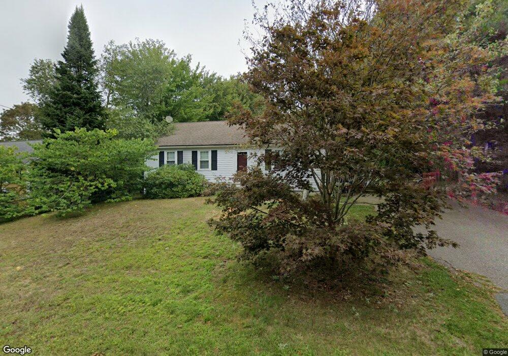
12 Rhine Rd Yarmouth Port, MA 02675
Yarmouth Port NeighborhoodEstimated Value: $326,313 - $464,000
2
Beds
1
Bath
912
Sq Ft
$431/Sq Ft
Est. Value
About This Home
This home is located at 12 Rhine Rd, Yarmouth Port, MA 02675 and is currently estimated at $393,078, approximately $431 per square foot. 12 Rhine Rd is a home located in Barnstable County with nearby schools including Dennis-Yarmouth Regional High School and St. Pius X. School.
Ownership History
Date
Name
Owned For
Owner Type
Purchase Details
Closed on
Oct 24, 2011
Sold by
Yarmouth Affordable Hs and Hinchley
Bought by
Grennell Terry L
Current Estimated Value
Home Financials for this Owner
Home Financials are based on the most recent Mortgage that was taken out on this home.
Original Mortgage
$114,730
Outstanding Balance
$78,439
Interest Rate
4.15%
Mortgage Type
Purchase Money Mortgage
Estimated Equity
$314,639
Purchase Details
Closed on
Nov 30, 2010
Sold by
Newcomb Daniel H and Cape Cod Five Cents Sb
Bought by
Yarm Affordable Hsng T
Purchase Details
Closed on
Dec 4, 1990
Sold by
Dacey William E
Bought by
Newcomb Daniel H
Create a Home Valuation Report for This Property
The Home Valuation Report is an in-depth analysis detailing your home's value as well as a comparison with similar homes in the area
Home Values in the Area
Average Home Value in this Area
Purchase History
| Date | Buyer | Sale Price | Title Company |
|---|---|---|---|
| Grennell Terry L | $149,000 | -- | |
| Grennell Terry L | $149,000 | -- | |
| Yarm Affordable Hsng T | $135,000 | -- | |
| Yarm Affordable Hsng T | $135,000 | -- | |
| Newcomb Daniel H | $94,900 | -- |
Source: Public Records
Mortgage History
| Date | Status | Borrower | Loan Amount |
|---|---|---|---|
| Open | Grennell Terry L | $114,730 | |
| Closed | Newcomb Daniel H | $29,800 | |
| Closed | Newcomb Daniel H | $4,135 | |
| Closed | Newcomb Daniel H | $5,000 |
Source: Public Records
Tax History Compared to Growth
Tax History
| Year | Tax Paid | Tax Assessment Tax Assessment Total Assessment is a certain percentage of the fair market value that is determined by local assessors to be the total taxable value of land and additions on the property. | Land | Improvement |
|---|---|---|---|---|
| 2025 | $1,062 | $150,000 | $142,300 | $7,700 |
| 2024 | $1,107 | $150,000 | $150,000 | $0 |
| 2023 | $1,208 | $149,000 | $133,700 | $15,300 |
| 2022 | $1,368 | $149,000 | $120,300 | $28,700 |
| 2021 | $1,424 | $149,000 | $120,300 | $28,700 |
| 2020 | $1,490 | $149,000 | $120,200 | $28,800 |
| 2019 | $1,505 | $149,000 | $120,200 | $28,800 |
| 2018 | $1,664 | $161,700 | $65,600 | $96,100 |
| 2017 | $1,620 | $161,700 | $65,600 | $96,100 |
| 2016 | $1,555 | $155,800 | $59,700 | $96,100 |
| 2015 | $1,453 | $144,700 | $59,700 | $85,000 |
Source: Public Records
Map
Nearby Homes
- 16 Warren Rd Unit 16
- 16 Warren Rd
- 32 Deveau Ln
- 40 Deveau Ln
- 8 Rowley Ln
- 209 Union St
- 0 Forsyth Ave
- 68 Seminole Dr
- 14 Many Oaks Cir
- 30 Quartermaster Row
- 33 Sparrow Way
- 72 Quartermaster Row
- 176 Beacon St
- 17 Trowbridge Path
- 882 W Yarmouth Rd
- 50 Cottonwood St
- 76 Captain Chase Rd
- 1 Hamblin Hill
- 105 Webbers Path
- 49 Captain Besse Rd