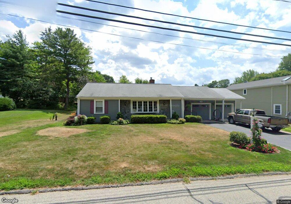
12 Richards Rd Southborough, MA 01772
Estimated Value: $663,446 - $721,000
3
Beds
2
Baths
1,602
Sq Ft
$432/Sq Ft
Est. Value
About This Home
This home is located at 12 Richards Rd, Southborough, MA 01772 and is currently estimated at $692,612, approximately $432 per square foot. 12 Richards Rd is a home located in Worcester County with nearby schools including Mary E Finn School, Albert S. Woodward Memorial School, and Margaret A. Neary School.
Ownership History
Date
Name
Owned For
Owner Type
Purchase Details
Closed on
Mar 20, 2025
Sold by
John W & J B Boland Ft and Boland
Bought by
Boland Matthew J and Boland David P
Current Estimated Value
Purchase Details
Closed on
Oct 16, 2008
Sold by
Boland John W and Boland Judith B
Bought by
Judith John W and Judith Boland
Create a Home Valuation Report for This Property
The Home Valuation Report is an in-depth analysis detailing your home's value as well as a comparison with similar homes in the area
Home Values in the Area
Average Home Value in this Area
Purchase History
| Date | Buyer | Sale Price | Title Company |
|---|---|---|---|
| Boland Matthew J | -- | None Available | |
| Boland Matthew J | -- | None Available | |
| Judith John W | -- | -- | |
| Udith John W | -- | -- |
Source: Public Records
Tax History Compared to Growth
Tax History
| Year | Tax Paid | Tax Assessment Tax Assessment Total Assessment is a certain percentage of the fair market value that is determined by local assessors to be the total taxable value of land and additions on the property. | Land | Improvement |
|---|---|---|---|---|
| 2025 | $7,594 | $549,900 | $260,900 | $289,000 |
| 2024 | $7,274 | $522,900 | $260,900 | $262,000 |
| 2023 | $7,234 | $490,100 | $242,200 | $247,900 |
| 2022 | $6,598 | $405,300 | $214,700 | $190,600 |
| 2021 | $6,388 | $394,100 | $198,800 | $195,300 |
| 2020 | $6,203 | $372,300 | $183,200 | $189,100 |
| 2019 | $5,968 | $356,500 | $171,600 | $184,900 |
| 2018 | $102 | $345,500 | $166,900 | $178,600 |
| 2017 | $5,615 | $342,800 | $166,900 | $175,900 |
| 2016 | $5,137 | $324,700 | $164,100 | $160,600 |
| 2015 | $4,473 | $279,200 | $148,800 | $130,400 |
Source: Public Records
Map
Nearby Homes
- 10 Richards Rd
- 14 Richards Rd
- 179 Woodland Rd
- 8 Richards Rd
- 19 Richards Rd
- 16 Richards Rd
- 4 Watkins Ln
- 248 Cordaville Rd
- 21 Richards Rd
- 181 Woodland Rd
- 248A Cordaville Rd
- 4 Richards Rd
- 2 Watkins Ln
- 6 Watkins Ln
- 183 Woodland Rd
- 246 Cordaville Rd
- 176 Woodland Rd
- 174 Woodland Rd
- 23 Richards Rd
- 172 Woodland Rd