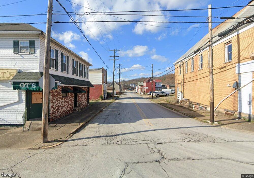
12 Ridge Ln Jeannette, PA 15644
Salem Township NeighborhoodEstimated Value: $118,932 - $264,000
--
Bed
--
Bath
1,300
Sq Ft
$156/Sq Ft
Est. Value
About This Home
This home is located at 12 Ridge Ln, Jeannette, PA 15644 and is currently estimated at $202,983, approximately $156 per square foot. 12 Ridge Ln is a home located in Westmoreland County with nearby schools including Greensburg-Salem Middle School, Greensburg-Salem High School, and Open Door Christian Academy.
Ownership History
Date
Name
Owned For
Owner Type
Purchase Details
Closed on
Jul 30, 2020
Sold by
Jackson P A and Bryan Family Trust
Bought by
Clark Frank and Clark Jennifer
Current Estimated Value
Purchase Details
Closed on
Mar 13, 2020
Sold by
Bryan Robert G and Bryan Cynthia L
Bought by
Jackson P A and Bryan Family Trust
Home Financials for this Owner
Home Financials are based on the most recent Mortgage that was taken out on this home.
Original Mortgage
$95,275
Interest Rate
2.9%
Mortgage Type
Unknown
Create a Home Valuation Report for This Property
The Home Valuation Report is an in-depth analysis detailing your home's value as well as a comparison with similar homes in the area
Home Values in the Area
Average Home Value in this Area
Purchase History
| Date | Buyer | Sale Price | Title Company |
|---|---|---|---|
| Clark Frank | $112,900 | None Available | |
| Jackson P A | $68,000 | None Available |
Source: Public Records
Mortgage History
| Date | Status | Borrower | Loan Amount |
|---|---|---|---|
| Previous Owner | Jackson P A | $95,275 |
Source: Public Records
Tax History Compared to Growth
Tax History
| Year | Tax Paid | Tax Assessment Tax Assessment Total Assessment is a certain percentage of the fair market value that is determined by local assessors to be the total taxable value of land and additions on the property. | Land | Improvement |
|---|---|---|---|---|
| 2025 | $3,316 | $24,220 | $5,650 | $18,570 |
| 2024 | $3,292 | $24,220 | $5,650 | $18,570 |
| 2023 | $450 | $24,220 | $5,650 | $18,570 |
| 2022 | $3,087 | $24,220 | $5,650 | $18,570 |
| 2021 | $3,062 | $24,220 | $5,650 | $18,570 |
| 2020 | $2,964 | $23,630 | $5,650 | $17,980 |
| 2019 | $2,893 | $23,630 | $5,650 | $17,980 |
| 2018 | $2,811 | $23,630 | $5,650 | $17,980 |
| 2017 | $2,740 | $23,630 | $5,650 | $17,980 |
| 2016 | $2,659 | $23,630 | $5,650 | $17,980 |
| 2015 | $2,659 | $23,630 | $5,650 | $17,980 |
| 2014 | $2,612 | $23,630 | $5,650 | $17,980 |
Source: Public Records
Map
Nearby Homes
- 551 Poplar Dr
- 133 Log Cabin Ln
- 431 Hillcrest Dr
- 645 Old State Route 66
- 468 Crest Dr
- 48 Mark Dr
- 3037 Ironwood Cir Unit F
- 2003 Trail Side Ct Unit B
- 5004 Wellington Ct
- 2002 Callaway Dr
- 2002 Ashburn Ct
- 2007 Trotwood Ct
- 1009 Trail Side Ct Unit C
- 1812 Ridge Rd
- 211 Abbe Place
- 303 Apple Blossom Ct
- 5 Bel Aire Dr
- 707 Cherry Blossom Ct
- 27 Buena Vista Dr
- 127 Surrey Dr
- 83A Ridge Ln
- 83C Ridge Ln
- 14 Ridge Ln
- 905 Old State Route 66
- 911 Old State Route 66
- 2147 Ridge Rd
- 2148 Ridge Rd
- 910 Old State Route 66
- 914 Old State Route 66
- 2142 Ridge Rd
- 904 Old State Route 66
- 2143 Ridge Rd
- 914 Old Route 66
- 923 Old State Route 66
- 923 Old State Route 66
- 923 Old Route 66
- 916 Old State Route 66
- 2139 Ridge Rd
- 916 Old Route 66
- 899 Old State Route 66
