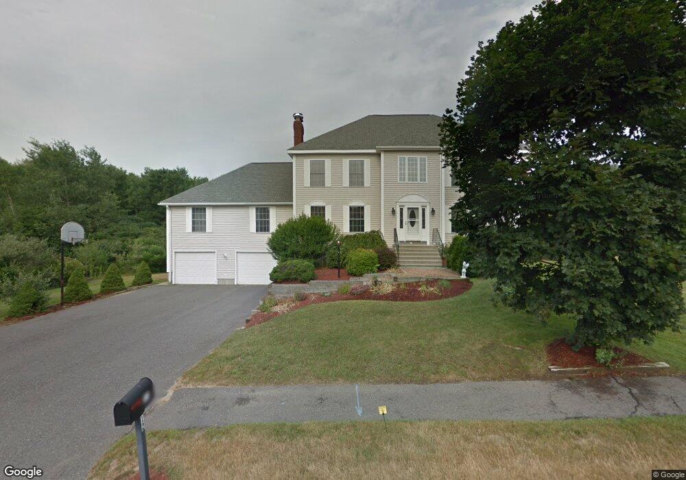
12 Rivington Dr Unit a West Boylston, MA 01583
Estimated Value: $907,000 - $928,389
4
Beds
3
Baths
3,904
Sq Ft
$234/Sq Ft
Est. Value
About This Home
This home is located at 12 Rivington Dr Unit a, West Boylston, MA 01583 and is currently estimated at $914,347, approximately $234 per square foot. 12 Rivington Dr Unit a is a home located in Worcester County with nearby schools including Major Edwards Elementary School and West Boylston Junior/Senior High School.
Ownership History
Date
Name
Owned For
Owner Type
Purchase Details
Closed on
Apr 25, 2014
Sold by
Norton Joseph P
Bought by
Vitko Jason and Vitko Amanda
Current Estimated Value
Home Financials for this Owner
Home Financials are based on the most recent Mortgage that was taken out on this home.
Original Mortgage
$413,250
Outstanding Balance
$315,298
Interest Rate
4.36%
Mortgage Type
New Conventional
Estimated Equity
$599,049
Purchase Details
Closed on
Dec 28, 2000
Sold by
Fortin Robert J and Fortin Marie L
Bought by
Norton Joseph P and Norton Mary M
Home Financials for this Owner
Home Financials are based on the most recent Mortgage that was taken out on this home.
Original Mortgage
$300,000
Interest Rate
7.7%
Mortgage Type
Purchase Money Mortgage
Purchase Details
Closed on
Jun 6, 1995
Sold by
Powell Kim J
Bought by
Fortin Robert and Fortin Marie
Create a Home Valuation Report for This Property
The Home Valuation Report is an in-depth analysis detailing your home's value as well as a comparison with similar homes in the area
Home Values in the Area
Average Home Value in this Area
Purchase History
| Date | Buyer | Sale Price | Title Company |
|---|---|---|---|
| Vitko Jason | $435,000 | -- | |
| Norton Joseph P | $470,000 | -- | |
| Fortin Robert | $55,000 | -- |
Source: Public Records
Mortgage History
| Date | Status | Borrower | Loan Amount |
|---|---|---|---|
| Open | Vitko Jason | $413,250 | |
| Previous Owner | Fortin Robert | $30,000 | |
| Previous Owner | Fortin Robert | $310,000 | |
| Previous Owner | Fortin Robert | $300,000 |
Source: Public Records
Tax History Compared to Growth
Tax History
| Year | Tax Paid | Tax Assessment Tax Assessment Total Assessment is a certain percentage of the fair market value that is determined by local assessors to be the total taxable value of land and additions on the property. | Land | Improvement |
|---|---|---|---|---|
| 2025 | $133 | $960,300 | $140,400 | $819,900 |
| 2024 | $12,090 | $818,000 | $146,700 | $671,300 |
| 2023 | $11,539 | $740,600 | $144,300 | $596,300 |
| 2022 | $10,438 | $590,400 | $148,300 | $442,100 |
| 2021 | $4,679 | $545,800 | $121,600 | $424,200 |
| 2020 | $4,336 | $507,500 | $124,800 | $382,700 |
| 2019 | $2,519 | $489,200 | $124,800 | $364,400 |
| 2018 | $3,784 | $467,200 | $124,800 | $342,400 |
| 2017 | $8,646 | $459,900 | $124,800 | $335,100 |
| 2016 | $8,533 | $462,500 | $116,300 | $346,200 |
| 2015 | $8,609 | $469,400 | $115,300 | $354,100 |
Source: Public Records
Map
Nearby Homes
- 287 Laurel St
- 16 N Main St
- 26 Townsend Dr
- 0 North St
- 20 Winthrop St
- Lot 1 Manning St
- 136 Sterling St Unit A3
- 156 Prospect St
- 0 Boutelle Rd
- 61 Boutelle Rd
- 2 Lakeview Ave
- 18 Laurel Ave
- 223 Worcester Rd
- 21 Myrtle Ave
- 152 Worcester St Unit 8
- 54 Maple St
- 62 Maple St
- 751 Mason Rd
- 4 Jewett Rd Unit B
- 4 Jewett Rd Unit A
- 12 Rivington Dr
- 31 Rivington Dr
- 3 Rivington Dr
- 11 Rivington Dr
- 139 Laurel St
- 145 Laurel St
- 27 Rivington Dr
- 68 Rivington Dr
- 135 Laurel St
- 127 Laurel St
- 23 Rivington Dr
- L18 Rivington Dr
- 15 Rivington Dr
- 159 Laurel St
- 136 Laurel St
- 125 Laurel St
- 64 Rivington Dr
- 18 Tobin Ln
- 19 Rivington Dr
- 56 Rivington Dr