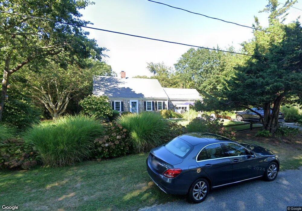
12 Robbins Cir Dennis, MA 02638
Dennis Village NeighborhoodEstimated Value: $1,010,000 - $1,435,000
3
Beds
2
Baths
1,801
Sq Ft
$691/Sq Ft
Est. Value
About This Home
This home is located at 12 Robbins Cir, Dennis, MA 02638 and is currently estimated at $1,245,028, approximately $691 per square foot. 12 Robbins Cir is a home located in Barnstable County with nearby schools including Dennis-Yarmouth Regional High School.
Ownership History
Date
Name
Owned For
Owner Type
Purchase Details
Closed on
Jan 11, 2022
Sold by
Mackin-Norris Jane and Norris Jane M
Bought by
Robert C Norris Ft
Current Estimated Value
Purchase Details
Closed on
Apr 8, 2002
Sold by
Darling Richard J and Darling Robert C
Bought by
Mackin Barbara A and Mackin-Norris Jane
Home Financials for this Owner
Home Financials are based on the most recent Mortgage that was taken out on this home.
Original Mortgage
$163,200
Interest Rate
6.85%
Mortgage Type
Purchase Money Mortgage
Create a Home Valuation Report for This Property
The Home Valuation Report is an in-depth analysis detailing your home's value as well as a comparison with similar homes in the area
Home Values in the Area
Average Home Value in this Area
Purchase History
| Date | Buyer | Sale Price | Title Company |
|---|---|---|---|
| Robert C Norris Ft | -- | None Available | |
| Mackin Barbara A | $400,000 | -- |
Source: Public Records
Mortgage History
| Date | Status | Borrower | Loan Amount |
|---|---|---|---|
| Previous Owner | Mackin Barbara A | $163,000 | |
| Previous Owner | Mackin Barbara A | $149,000 | |
| Previous Owner | Mackin Barbara A | $163,200 |
Source: Public Records
Tax History
| Year | Tax Paid | Tax Assessment Tax Assessment Total Assessment is a certain percentage of the fair market value that is determined by local assessors to be the total taxable value of land and additions on the property. | Land | Improvement |
|---|---|---|---|---|
| 2025 | $4,599 | $1,062,100 | $598,200 | $463,900 |
| 2024 | $4,475 | $1,019,300 | $575,300 | $444,000 |
| 2023 | $4,328 | $926,700 | $523,000 | $403,700 |
| 2022 | $4,313 | $770,100 | $471,100 | $299,000 |
| 2021 | $4,215 | $699,000 | $461,900 | $237,100 |
| 2020 | $4,790 | $785,300 | $517,300 | $268,000 |
| 2019 | $4,267 | $691,600 | $452,800 | $238,800 |
| 2018 | $4,162 | $656,400 | $431,100 | $225,300 |
| 2017 | $4,037 | $656,400 | $431,100 | $225,300 |
| 2016 | $4,028 | $616,800 | $431,100 | $185,700 |
| 2015 | $3,948 | $616,800 | $431,100 | $185,700 |
| 2014 | $3,033 | $477,600 | $327,600 | $150,000 |
Source: Public Records
Map
Nearby Homes
Your Personal Tour Guide
Ask me questions while you tour the home.