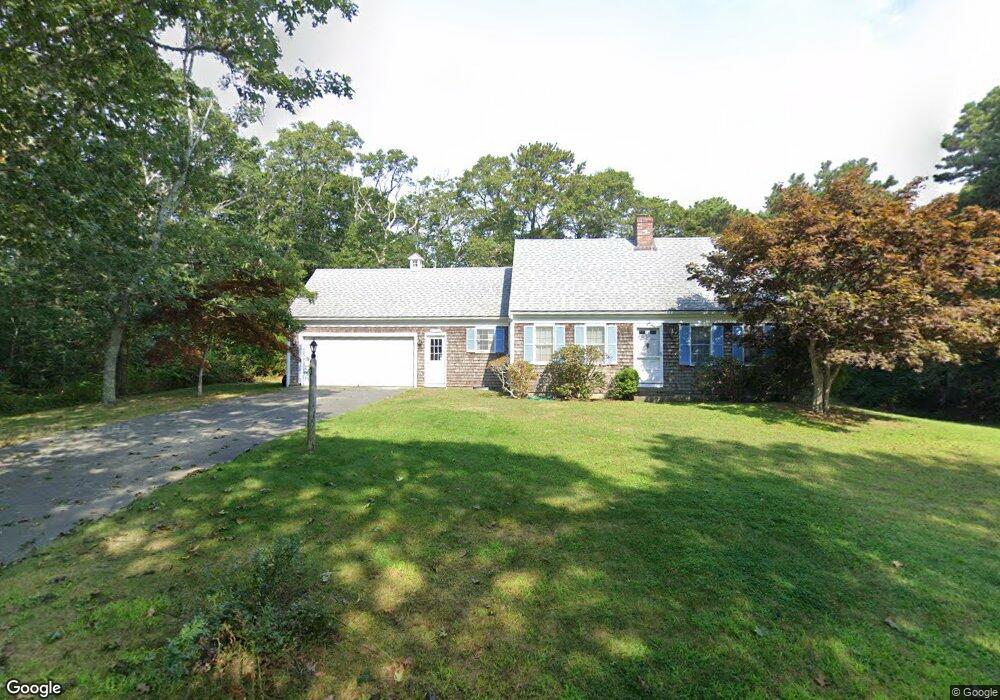
12 Robbins Rd Harwich Port, MA 02646
Harwich Center NeighborhoodEstimated Value: $696,389 - $809,000
3
Beds
2
Baths
1,728
Sq Ft
$432/Sq Ft
Est. Value
About This Home
This home is located at 12 Robbins Rd, Harwich Port, MA 02646 and is currently estimated at $746,597, approximately $432 per square foot. 12 Robbins Rd is a home located in Barnstable County with nearby schools including Harwich Elementary School, Chatham Elementary School, and Monomoy Regional Middle School.
Ownership History
Date
Name
Owned For
Owner Type
Purchase Details
Closed on
May 4, 2020
Sold by
Elizabeth H Nichols Nt
Bought by
Nichols Robert H
Current Estimated Value
Purchase Details
Closed on
Jun 23, 2015
Sold by
Falmouth Harborwalk Ll
Bought by
Harborwalk Resort and Falmouth Harborwalk Ll
Purchase Details
Closed on
Jun 3, 2014
Sold by
Falmouth Harborwalk Ll
Bought by
Delete and Falmouth Harborwalk Ll
Create a Home Valuation Report for This Property
The Home Valuation Report is an in-depth analysis detailing your home's value as well as a comparison with similar homes in the area
Home Values in the Area
Average Home Value in this Area
Purchase History
| Date | Buyer | Sale Price | Title Company |
|---|---|---|---|
| Nichols Robert H | -- | None Available | |
| Harborwalk Resort | -- | -- | |
| Delete | -- | -- |
Source: Public Records
Tax History Compared to Growth
Tax History
| Year | Tax Paid | Tax Assessment Tax Assessment Total Assessment is a certain percentage of the fair market value that is determined by local assessors to be the total taxable value of land and additions on the property. | Land | Improvement |
|---|---|---|---|---|
| 2025 | $3,790 | $641,300 | $218,800 | $422,500 |
| 2024 | $3,680 | $610,200 | $206,400 | $403,800 |
| 2023 | $3,522 | $530,400 | $187,600 | $342,800 |
| 2022 | $3,464 | $427,100 | $163,200 | $263,900 |
| 2021 | $3,351 | $389,700 | $148,300 | $241,400 |
| 2020 | $3,340 | $382,600 | $145,200 | $237,400 |
| 2019 | $3,202 | $369,300 | $139,600 | $229,700 |
| 2018 | $3,118 | $344,000 | $126,900 | $217,100 |
| 2017 | $2,952 | $329,100 | $115,600 | $213,500 |
| 2016 | $2,879 | $317,400 | $115,600 | $201,800 |
| 2015 | $2,775 | $309,400 | $113,400 | $196,000 |
| 2014 | $2,655 | $302,700 | $110,000 | $192,700 |
Source: Public Records
Map
Nearby Homes
- 116 Sisson Rd
- 13 6 Penny Ln
- 13 Six Penny Ln
- 48 Miles St
- 2 Englewood Dr Unit D-7
- 18 Old Campground
- 12 Old Campground Rd
- 15 Pleasant St Unit W24
- 24 Cross St
- 515 Route 28
- 116 Parallel St
- 364 Lower County Rd
- 405 Lower County Rd Unit 21
- 405 Lower County Rd Unit 23
- 2 Bassett Woods Rd
- 23 Zylpha Rd
- 5 Highland Ln
- 12 Cranberry Ln
- 297 Massachusetts 28 Unit 1
- 297 Massachusetts 28