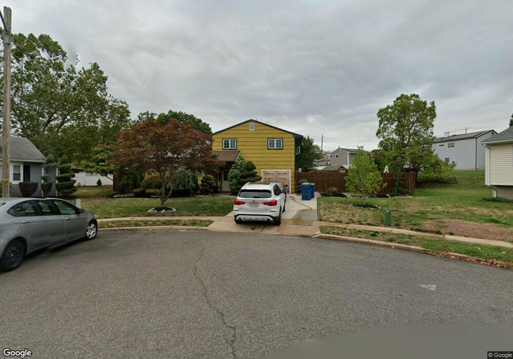
12 Robert C Keri Ct Somerset, NJ 08873
Estimated Value: $458,947 - $513,000
--
Bed
--
Bath
1,597
Sq Ft
$303/Sq Ft
Est. Value
About This Home
This home is located at 12 Robert C Keri Ct, Somerset, NJ 08873 and is currently estimated at $483,487, approximately $302 per square foot. 12 Robert C Keri Ct is a home located in Somerset County with nearby schools including Franklin High School.
Ownership History
Date
Name
Owned For
Owner Type
Purchase Details
Closed on
May 31, 2007
Sold by
Thompson Kelvin E and Thompson Adelaide
Bought by
Thompson Kelvin E and Scott Thompson Adelaide
Current Estimated Value
Home Financials for this Owner
Home Financials are based on the most recent Mortgage that was taken out on this home.
Original Mortgage
$265,422
Outstanding Balance
$160,834
Interest Rate
6.19%
Mortgage Type
FHA
Estimated Equity
$322,653
Purchase Details
Closed on
Dec 6, 1991
Sold by
Wilkins Ronald J
Bought by
Thompson Kelvin E and Thompson Adelaide
Purchase Details
Closed on
May 18, 1990
Sold by
Ross Charles L and Ross Patricia A
Bought by
Wilkins Ronald J
Create a Home Valuation Report for This Property
The Home Valuation Report is an in-depth analysis detailing your home's value as well as a comparison with similar homes in the area
Home Values in the Area
Average Home Value in this Area
Purchase History
| Date | Buyer | Sale Price | Title Company |
|---|---|---|---|
| Thompson Kelvin E | -- | None Available | |
| Thompson Kelvin E | $120,000 | -- | |
| Wilkins Ronald J | $134,000 | -- |
Source: Public Records
Mortgage History
| Date | Status | Borrower | Loan Amount |
|---|---|---|---|
| Open | Thompson Kelvin E | $265,422 |
Source: Public Records
Tax History Compared to Growth
Tax History
| Year | Tax Paid | Tax Assessment Tax Assessment Total Assessment is a certain percentage of the fair market value that is determined by local assessors to be the total taxable value of land and additions on the property. | Land | Improvement |
|---|---|---|---|---|
| 2025 | $6,854 | $448,300 | $220,000 | $228,300 |
| 2024 | $6,854 | $376,200 | $220,000 | $156,200 |
| 2023 | $6,910 | $356,200 | $200,000 | $156,200 |
| 2022 | $6,988 | $341,200 | $185,000 | $156,200 |
| 2021 | $6,713 | $301,200 | $145,000 | $156,200 |
| 2020 | $6,317 | $276,200 | $120,000 | $156,200 |
| 2019 | $6,171 | $266,200 | $110,000 | $156,200 |
| 2018 | $6,234 | $266,200 | $110,000 | $156,200 |
| 2017 | $6,493 | $276,200 | $120,000 | $156,200 |
| 2016 | $6,520 | $275,000 | $120,000 | $155,000 |
| 2015 | $6,476 | $275,000 | $120,000 | $155,000 |
| 2014 | $6,380 | $275,000 | $120,000 | $155,000 |
Source: Public Records
Map
Nearby Homes
- 69 Robbins Ave
- 56 Marvin Ave
- 4 Fraley Dr
- 25 Oakbrook Place
- 30 Whittier Ave
- 240 New York Ave
- 11 Lincoln Place
- 497 Easton Ave
- 168 Harrison St
- 314 Easton Ave
- 32 Hawthorne Dr
- 15 Barker Rd
- 612 Hamilton St
- 225 Irvington Ave
- 12 Barker Rd
- 7 Old Lane Highwood
- 85 Winston Dr
- 10 Continental Rd
- 453 Franklin Blvd
- 453 Franklin Blvd
- 10 Robert C Keri Ct
- 161 Franklin Blvd
- 169 Franklin Blvd
- 11 Robert C Keri Ct
- 82 Donald Ave
- 78 Donald Ave
- 90 Donald Ave
- 179 Franklin Blvd
- 8 Robert C Keri Ct Unit 2
- 8 Robert C Keri Ct
- 9 Robert C Keri Ct
- 74 Donald Ave
- 7 Robert C Keri Ct
- 211 Highland Ave
- 6 Robert C Keri Ct
- 203 Highland Ave
- 217 Highland Ave
- 68 Donald Ave
- 147 Franklin Blvd
- 79 Donald Ave