12 Robert Pearson Ct Trenton, NJ 08610
Estimated Value: $328,065 - $391,000
Studio
--
Bath
1,366
Sq Ft
$268/Sq Ft
Est. Value
About This Home
This home is located at 12 Robert Pearson Ct, Trenton, NJ 08610 and is currently estimated at $365,516, approximately $267 per square foot. 12 Robert Pearson Ct is a home located in Mercer County with nearby schools including Yardville Heights Elementary School, Albert E. Grice Middle School, and Hamilton West-Watson High School.
Ownership History
Date
Name
Owned For
Owner Type
Purchase Details
Closed on
Oct 27, 1995
Sold by
Correnti Albert
Bought by
Pesta Thomas
Current Estimated Value
Home Financials for this Owner
Home Financials are based on the most recent Mortgage that was taken out on this home.
Original Mortgage
$101,000
Outstanding Balance
$1,403
Interest Rate
7.53%
Mortgage Type
Purchase Money Mortgage
Estimated Equity
$364,113
Create a Home Valuation Report for This Property
The Home Valuation Report is an in-depth analysis detailing your home's value as well as a comparison with similar homes in the area
Home Values in the Area
Average Home Value in this Area
Purchase History
| Date | Buyer | Sale Price | Title Company |
|---|---|---|---|
| Pesta Thomas | $106,000 | -- |
Source: Public Records
Mortgage History
| Date | Status | Borrower | Loan Amount |
|---|---|---|---|
| Open | Pesta Thomas | $101,000 |
Source: Public Records
Tax History
| Year | Tax Paid | Tax Assessment Tax Assessment Total Assessment is a certain percentage of the fair market value that is determined by local assessors to be the total taxable value of land and additions on the property. | Land | Improvement |
|---|---|---|---|---|
| 2025 | $6,671 | $189,300 | $54,600 | $134,700 |
| 2024 | $6,253 | $189,300 | $54,600 | $134,700 |
Source: Public Records
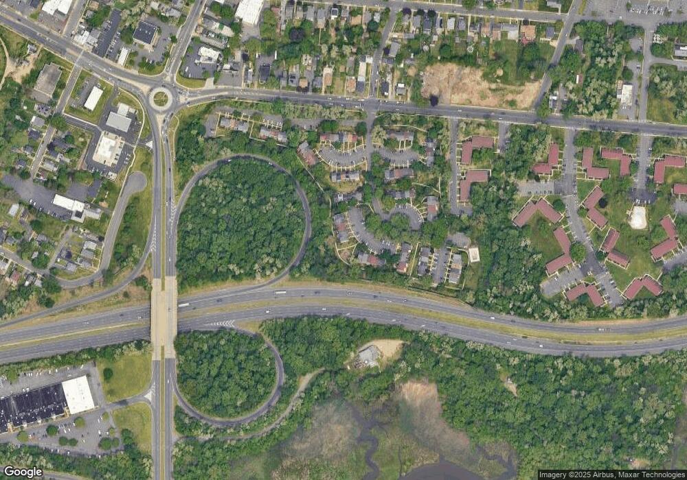
Map
Nearby Homes
- 11 Hempstead Rd
- 539 US Highway 206
- 70 Miles Ave
- 7 Alfred Ave
- 580 Route 206
- 5 Sandy Ln
- 2086 Kinter Ave
- 631 U S 206
- 44 Hempstead Rd
- 105 Carmen Ave
- 3700 S Clinton Ave
- 153 Knapp Ave
- 353 Redwood Ave
- 45 Hansen Ave
- 10 Constance Dr
- 234 Thropp Ave
- 157 Churchill Ave
- 24 Soloff Dr
- 90 Hempstead Rd
- 156 Tettemer Ave
- 11 Robert Pearson Ct
- 10 Robert Pearson Ct
- 9 Robert Pearson Ct
- 8 Robert Pearson Ct
- 14 Robert Pearson Ct
- 7 Robert Pearson Ct
- 15 Robert Pearson Ct
- 16 Robert Pearson Ct
- 17 Robert Pearson Ct
- 18 Robert Pearson Ct
- 5 Robert Pearson Ct
- 4 Robert Pearson Ct
- 6 Robert Pearson Ct
- 3 Robert Pearson Ct
- 2 Robert Pearson Ct
- 19 Robert Pearson Ct
- 1 Robert Pearson Ct
- 24 Robert Pearson Ct
- 23 Robert Pearson Ct
- 25 Robert Pearson Ct
Your Personal Tour Guide
Ask me questions while you tour the home.