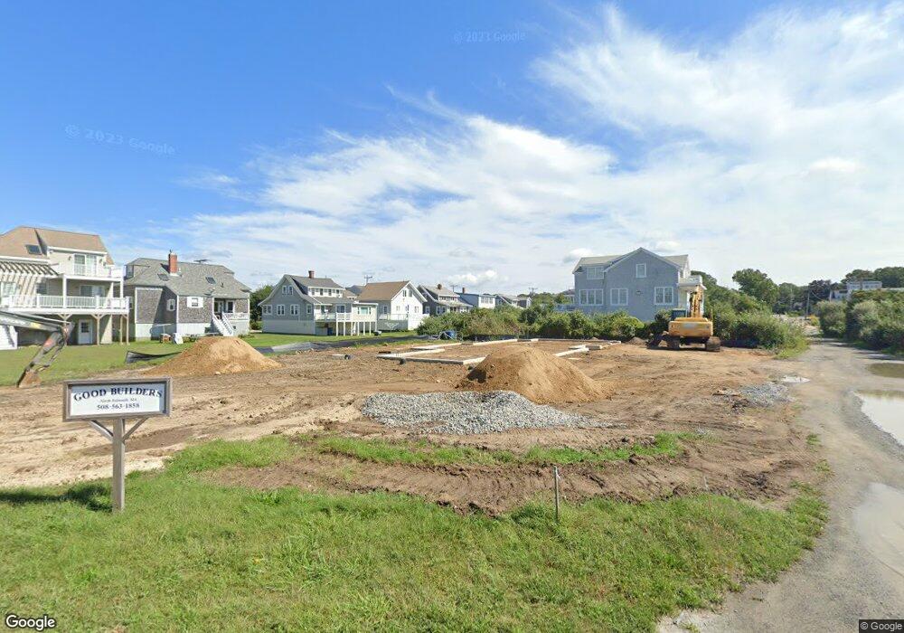
12 Rock St North Falmouth, MA 02556
North Falmouth NeighborhoodEstimated Value: $448,784 - $521,000
1
Bed
1
Bath
675
Sq Ft
$711/Sq Ft
Est. Value
About This Home
This home is located at 12 Rock St, North Falmouth, MA 02556 and is currently estimated at $479,946, approximately $711 per square foot. 12 Rock St is a home located in Barnstable County with nearby schools including North Falmouth Elementary School, Morse Pond School, and Lawrence School.
Ownership History
Date
Name
Owned For
Owner Type
Purchase Details
Closed on
Feb 8, 2024
Sold by
Dietlin David A and Dietlin Patt M
Bought by
Dietlin Rt and Dietlin
Current Estimated Value
Purchase Details
Closed on
Dec 31, 2001
Sold by
Perry Lewis H and Perry Eleanor H
Bought by
Dietlin David A and Dietlin Patt M
Home Financials for this Owner
Home Financials are based on the most recent Mortgage that was taken out on this home.
Original Mortgage
$143,863
Interest Rate
6.61%
Mortgage Type
Purchase Money Mortgage
Create a Home Valuation Report for This Property
The Home Valuation Report is an in-depth analysis detailing your home's value as well as a comparison with similar homes in the area
Home Values in the Area
Average Home Value in this Area
Purchase History
| Date | Buyer | Sale Price | Title Company |
|---|---|---|---|
| Dietlin Rt | -- | None Available | |
| Dietlin Rt | -- | None Available | |
| Dietlin David A | $145,000 | -- | |
| Dietlin David A | $145,000 | -- |
Source: Public Records
Mortgage History
| Date | Status | Borrower | Loan Amount |
|---|---|---|---|
| Previous Owner | Dietlin David A | $143,863 |
Source: Public Records
Tax History Compared to Growth
Tax History
| Year | Tax Paid | Tax Assessment Tax Assessment Total Assessment is a certain percentage of the fair market value that is determined by local assessors to be the total taxable value of land and additions on the property. | Land | Improvement |
|---|---|---|---|---|
| 2025 | $2,938 | $376,200 | $202,300 | $173,900 |
| 2024 | $2,873 | $358,200 | $192,700 | $165,500 |
| 2023 | $2,813 | $319,300 | $170,500 | $148,800 |
| 2022 | $2,754 | $272,900 | $150,900 | $122,000 |
| 2021 | $2,701 | $250,800 | $137,300 | $113,500 |
| 2020 | $2,627 | $244,600 | $136,000 | $108,600 |
| 2019 | $2,325 | $221,200 | $124,200 | $97,000 |
| 2018 | $2,192 | $208,000 | $118,300 | $89,700 |
| 2017 | $2,121 | $205,900 | $117,200 | $88,700 |
| 2016 | $1,973 | $194,200 | $117,200 | $77,000 |
| 2015 | $1,956 | $194,200 | $117,200 | $77,000 |
Source: Public Records
Map
Nearby Homes
- 74 Hillside Ave
- 24 Westwood Rd
- 9 Seascape Ln
- 40 Point Rd
- 37 Five Gate Ln
- 14 Ryder Rd
- 24 Fiddlers Cove Rd
- 0 Quaker Rd Unit 22504204
- 0 Quaker Rd Unit 73423088
- 2 Tricia Rd
- 345 Quaker Rd
- 267 N Falmouth Hwy
- 213 N Falmouth Hwy Unit 5A
- 213 N Falmouth Hwy Unit 5B
- 213 N Falmouth Hwy Unit 5 A
- 104 Streeter Hill Rd
- 104 Streeter Hill Rd
- 121 Streeter Hill Rd
- 121 Streeter Hill Rd
- 37 Nemasket Rd
- 8 Rock St
- 6 Rock St
- 148 Silver Beach Ave
- 10 Rock St
- 10 Rock St
- 156 Silver Beach Ave
- 9 Rock St
- 5 Rock St
- 146 Silver Beach Ave
- 160 Silver Beach Ave
- 11 Rock St
- 142 Silver Beach Ave
- 153 Silver Beach Ave
- 28 Moses Rd
- 151 Silver Beach Ave
- 147 Silver Beach Ave
- 15 Rock St
- 145 Silver Beach Ave
- 140 Silver Beach Ave
- 159 Silver Beach Ave