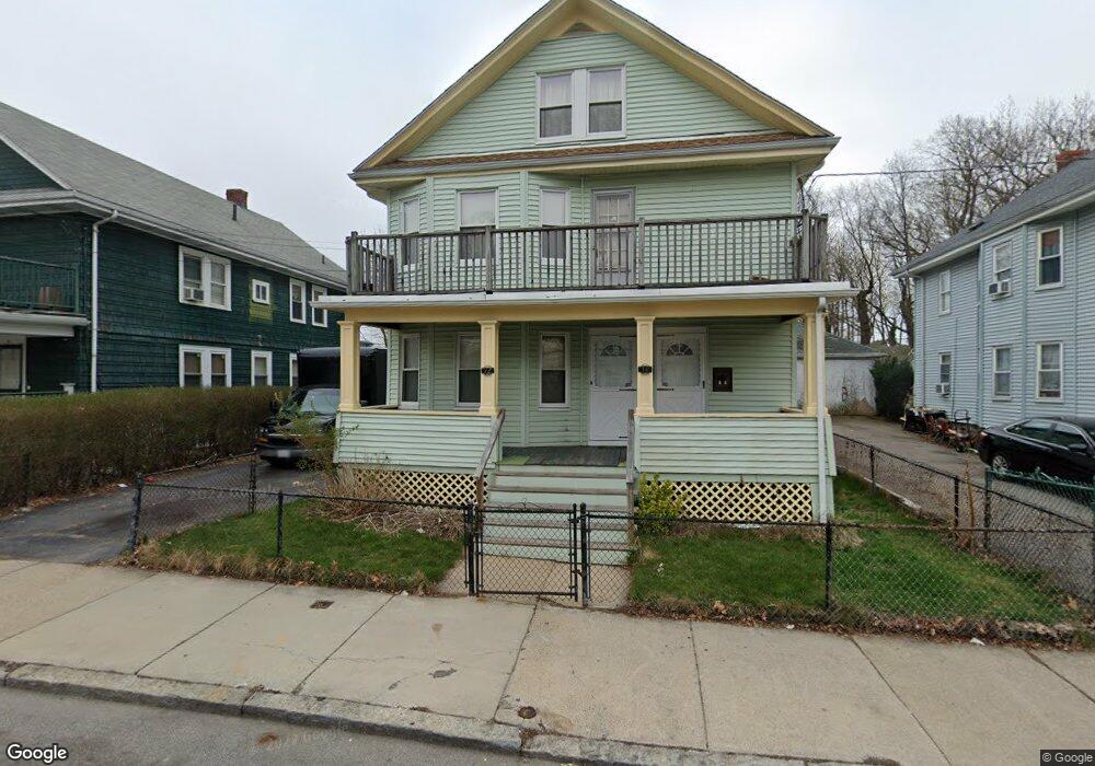
12 Rockdale St Unit 14 Mattapan, MA 02126
Mattapan Square NeighborhoodEstimated Value: $776,380 - $853,000
4
Beds
2
Baths
2,160
Sq Ft
$380/Sq Ft
Est. Value
About This Home
This home is located at 12 Rockdale St Unit 14, Mattapan, MA 02126 and is currently estimated at $820,345, approximately $379 per square foot. 12 Rockdale St Unit 14 is a home located in Suffolk County with nearby schools including KIPP Academy Boston Charter School, St. Mary of the Hills School, and Berea Seventh-day Adventist Academy.
Ownership History
Date
Name
Owned For
Owner Type
Purchase Details
Closed on
Oct 9, 2024
Sold by
States Leith T
Bought by
States Leith T and Wynn Edwinna
Current Estimated Value
Purchase Details
Closed on
Jan 9, 2024
Sold by
State S Mary M Est and States
Bought by
States Leith T
Create a Home Valuation Report for This Property
The Home Valuation Report is an in-depth analysis detailing your home's value as well as a comparison with similar homes in the area
Home Values in the Area
Average Home Value in this Area
Purchase History
| Date | Buyer | Sale Price | Title Company |
|---|---|---|---|
| States Leith T | -- | None Available | |
| States Leith T | -- | None Available | |
| States Leith T | -- | None Available | |
| States Leith T | -- | None Available |
Source: Public Records
Tax History Compared to Growth
Tax History
| Year | Tax Paid | Tax Assessment Tax Assessment Total Assessment is a certain percentage of the fair market value that is determined by local assessors to be the total taxable value of land and additions on the property. | Land | Improvement |
|---|---|---|---|---|
| 2025 | $7,528 | $650,100 | $277,600 | $372,500 |
| 2024 | $6,783 | $622,300 | $244,300 | $378,000 |
| 2023 | $6,305 | $587,100 | $230,500 | $356,600 |
| 2022 | $6,388 | $587,100 | $230,500 | $356,600 |
| 2021 | $5,695 | $533,700 | $209,500 | $324,200 |
| 2020 | $5,126 | $485,400 | $210,800 | $274,600 |
| 2019 | $4,736 | $449,300 | $162,600 | $286,700 |
| 2018 | $4,205 | $401,200 | $162,600 | $238,600 |
| 2017 | $4,086 | $385,800 | $162,600 | $223,200 |
| 2016 | $3,858 | $350,700 | $162,600 | $188,100 |
| 2015 | $3,394 | $280,300 | $127,700 | $152,600 |
| 2014 | $3,265 | $259,500 | $127,700 | $131,800 |
Source: Public Records
Map
Nearby Homes
- 48-50 Rockdale St
- 90 Hollingsworth St
- 770 Cummins Hwy Unit 1
- 770 Cummins Hwy Unit 22
- 95 Woodhaven St
- 10 Brockton St
- 645 River St
- 16 Blue Hill Ave
- 84 Blue Hills Pkwy
- 23 Caton St
- 839-843 Cummins Hwy
- 25 Alpine St Unit 7
- 27 Hawthorn Rd
- 1465 Blue Hill Ave
- 128 Blue Hills Pkwy
- 96 Brook Rd
- 20 Massasoit St
- 24 Constitution Rd
- 112 Brush Hill Rd
- 4 Crossman St Unit 4
- 10 Rockdale St Unit 2
- 8 Rockdale St Unit 10
- 8 Rockdale St Unit 2
- 16 Rockdale St Unit 18
- 871 Cummins Hwy
- 20 Rockdale St
- 20 Rockdale St Unit 1
- 869 Cummins Hwy
- 11 Rockdale St
- 15 Rockdale St
- 22 Rockdale St
- 7 Rockdale St
- 853 Cummins Hwy
- 853 Cummins Hwy Unit 1
- 853 Cummins Hwy Unit 2
- 853 Cummins Hwy Unit 3
- 19 Rockdale St
- 23 Rockdale St
- 24 Rockdale St
- 24 Rockdale St Unit B