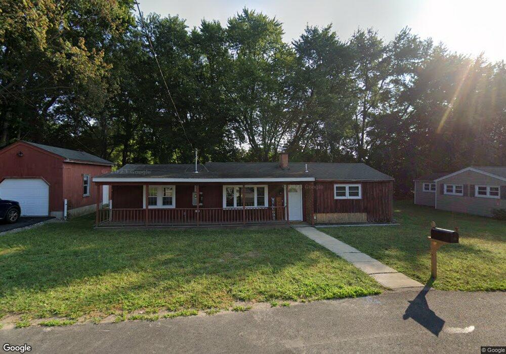
12 Rondeau Rd Bellingham, MA 02019
Estimated Value: $343,000 - $466,000
3
Beds
1
Bath
1,158
Sq Ft
$355/Sq Ft
Est. Value
About This Home
This home is located at 12 Rondeau Rd, Bellingham, MA 02019 and is currently estimated at $411,566, approximately $355 per square foot. 12 Rondeau Rd is a home located in Norfolk County with nearby schools including Joseph F. DiPietro Elementary, Bellingham High School, and Bethany Christian Academy.
Ownership History
Date
Name
Owned For
Owner Type
Purchase Details
Closed on
Oct 16, 2024
Sold by
Harris Kimberly
Bought by
Banshee Realty Llc
Current Estimated Value
Purchase Details
Closed on
Jun 27, 1964
Bought by
Ferris Robert and Ferris Jeanine
Create a Home Valuation Report for This Property
The Home Valuation Report is an in-depth analysis detailing your home's value as well as a comparison with similar homes in the area
Home Values in the Area
Average Home Value in this Area
Purchase History
| Date | Buyer | Sale Price | Title Company |
|---|---|---|---|
| Banshee Realty Llc | -- | None Available | |
| Banshee Realty Llc | -- | None Available | |
| Ferris Robert | $10,600 | -- |
Source: Public Records
Tax History Compared to Growth
Tax History
| Year | Tax Paid | Tax Assessment Tax Assessment Total Assessment is a certain percentage of the fair market value that is determined by local assessors to be the total taxable value of land and additions on the property. | Land | Improvement |
|---|---|---|---|---|
| 2025 | $4,705 | $374,600 | $165,400 | $209,200 |
| 2024 | $4,496 | $349,600 | $151,000 | $198,600 |
| 2023 | $3,966 | $303,900 | $143,800 | $160,100 |
| 2022 | $3,811 | $270,700 | $119,900 | $150,800 |
| 2021 | $3,713 | $257,700 | $119,900 | $137,800 |
| 2020 | $3,494 | $245,700 | $119,900 | $125,800 |
| 2019 | $3,426 | $241,100 | $119,900 | $121,200 |
| 2018 | $3,192 | $221,500 | $115,300 | $106,200 |
| 2017 | $3,132 | $218,400 | $115,300 | $103,100 |
| 2016 | $2,991 | $209,300 | $113,400 | $95,900 |
| 2015 | $2,874 | $201,700 | $109,000 | $92,700 |
| 2014 | $2,889 | $197,100 | $106,500 | $90,600 |
Source: Public Records
Map
Nearby Homes
- 11 Silver Ave
- 46 Douglas Dr
- 52 James St
- 19 Geordan Ave
- 975 S Main St
- 89 Lakeview Ave
- 26 Iris Ln
- 926 S Main St
- 20 Bertine St
- 0 North St Unit 73440626
- 7 Debra Ln
- 9 Debra Ln
- 5 Debra Ln
- 501 Old Bridge Ln Unit 501
- 1303 Old Bridge Ln Unit 1303
- 1501 Old Bridge Ln Unit 1501
- 1136 S Main St
- 203 Old Bridge Ln Unit 203
- 2 Connor Ln
- 106 Maple Brook Rd Unit 106