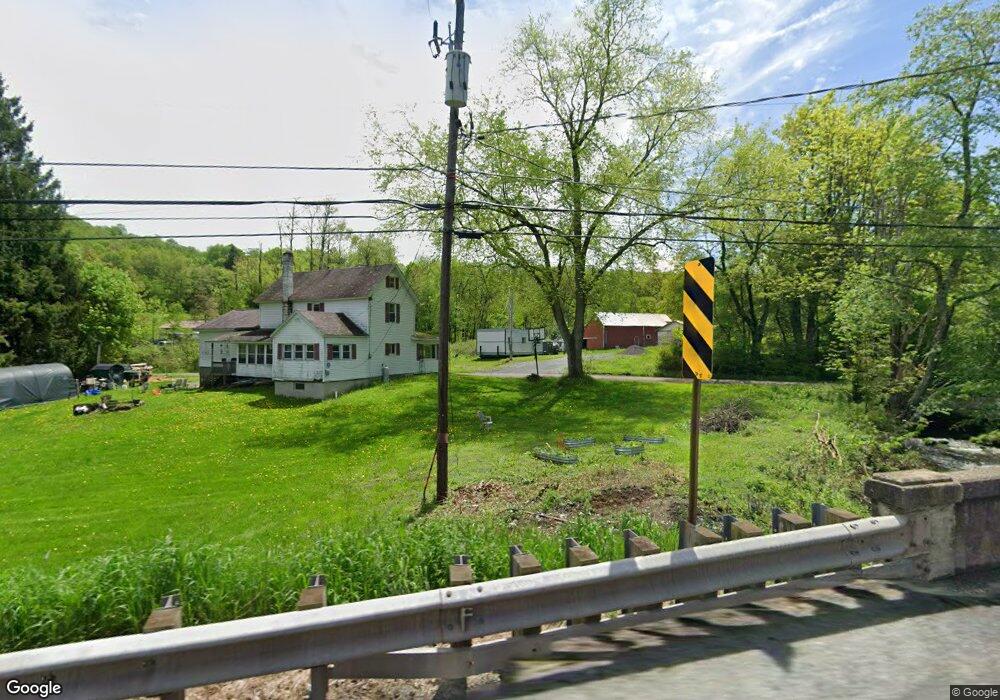
12 Roney Rd Preston Park, PA 18455
Estimated Value: $297,000 - $298,000
2
Beds
1
Bath
1,280
Sq Ft
$232/Sq Ft
Est. Value
About This Home
This home is located at 12 Roney Rd, Preston Park, PA 18455 and is currently estimated at $297,500, approximately $232 per square foot. 12 Roney Rd is a home with nearby schools including Honesdale High School.
Ownership History
Date
Name
Owned For
Owner Type
Purchase Details
Closed on
Jun 3, 2019
Sold by
Karcher Redzich Mary
Bought by
Worobey Brian and Worobey Ashley
Current Estimated Value
Home Financials for this Owner
Home Financials are based on the most recent Mortgage that was taken out on this home.
Original Mortgage
$135,000
Outstanding Balance
$118,936
Interest Rate
4.2%
Mortgage Type
Purchase Money Mortgage
Estimated Equity
$178,564
Purchase Details
Closed on
Jan 13, 2011
Sold by
Redzich Robert
Bought by
Karcher Redzich Mary
Create a Home Valuation Report for This Property
The Home Valuation Report is an in-depth analysis detailing your home's value as well as a comparison with similar homes in the area
Home Values in the Area
Average Home Value in this Area
Purchase History
| Date | Buyer | Sale Price | Title Company |
|---|---|---|---|
| Worobey Brian | $150,000 | None Available | |
| Karcher Redzich Mary | -- | None Available |
Source: Public Records
Mortgage History
| Date | Status | Borrower | Loan Amount |
|---|---|---|---|
| Open | Worobey Brian | $135,000 |
Source: Public Records
Tax History Compared to Growth
Tax History
| Year | Tax Paid | Tax Assessment Tax Assessment Total Assessment is a certain percentage of the fair market value that is determined by local assessors to be the total taxable value of land and additions on the property. | Land | Improvement |
|---|---|---|---|---|
| 2025 | $2,535 | $146,900 | $135,500 | $11,400 |
| 2024 | $2,423 | $146,900 | $135,500 | $11,400 |
| 2023 | $3,395 | $146,900 | $135,500 | $11,400 |
| 2022 | $2,717 | $108,300 | $80,300 | $28,000 |
| 2021 | $2,691 | $108,300 | $80,300 | $28,000 |
| 2020 | $2,691 | $108,300 | $80,300 | $28,000 |
| 2019 | $2,518 | $108,300 | $80,300 | $28,000 |
| 2018 | $2,427 | $108,300 | $80,300 | $28,000 |
| 2017 | $564 | $108,300 | $80,300 | $28,000 |
| 2016 | $2,295 | $108,300 | $80,300 | $28,000 |
| 2014 | -- | $108,300 | $80,300 | $28,000 |
Source: Public Records
Map
Nearby Homes
- 749 Rose Hill Rd
- 223 Rainbow Rd
- 3307 Creamton Dr
- 124 Rainbow Rd
- 263 Como Rd
- 259 Como Rd
- 0 Como Rd Unit 11531101
- 0 Stockport Tpke & Como Rd Unit PWBPW253047
- 0 Crosstown Hwy Unit PWBPW250386
- 69 Como Rd
- 0 Stockport Rd
- 0 Stockport Turnpike Unit PWBPW240698
- 0 Stockport Turnpike Unit 20-1243
- 65 Run A Muck Ln
- 24 Old Boat Rd
- 48 Old Boat Rd
- 2793 Crosstown Hwy
- 0 Creamton Dr Unit 23525787
- 0 Creamton Dr Unit PWBPW251384
- 23 Little Spruce Ln
- 11 Roney Rd
- 4 Roney Rd
- 24 Roney Rd
- 24 Roney Rd
- 30 Roney Rd
- 36 Roney Rd
- 0 Crosstown Hwy Unit GSB042344
- 0 Crosstown Hwy Unit Preston Park
- 0 Pennsylvania 370
- 0 Crosstown Hwy
- 52 Roney Rd
- 2007 Crosstown Hwy
- 2110 Crosstown Hwy
- 2118 Crosstown Hwy
- 524 Shehawken Rd
- 1953 Crosstown Hwy
- 508 Shehawken Rd
- 497a Shehawken Rd
- 497 Shehawken Rd
- 3310 Creamton Dr