12 Rowland Rd Mount Desert, ME 04660
Estimated Value: $1,065,000 - $3,595,989
9
Beds
5
Baths
5,434
Sq Ft
$429/Sq Ft
Est. Value
About This Home
This home is located at 12 Rowland Rd, Mount Desert, ME 04660 and is currently estimated at $2,330,495, approximately $428 per square foot. 12 Rowland Rd is a home with nearby schools including Mt Desert Elementary School and Mt. Desert Island High School.
Ownership History
Date
Name
Owned For
Owner Type
Purchase Details
Closed on
Jul 31, 2018
Sold by
Neely Wilson S
Bought by
Neely Victoria S
Current Estimated Value
Purchase Details
Closed on
Feb 1, 2018
Sold by
Shaw Gordon H and Beard Mary S
Bought by
Neely Wilson S and Neely Victoria S
Home Financials for this Owner
Home Financials are based on the most recent Mortgage that was taken out on this home.
Original Mortgage
$1,480,000
Outstanding Balance
$1,229,339
Interest Rate
3.25%
Mortgage Type
Adjustable Rate Mortgage/ARM
Estimated Equity
$1,101,156
Purchase Details
Closed on
Apr 26, 2006
Sold by
Barbara S Weickert T
Bought by
Weickert William N and Taylor Bonnie W
Create a Home Valuation Report for This Property
The Home Valuation Report is an in-depth analysis detailing your home's value as well as a comparison with similar homes in the area
Home Values in the Area
Average Home Value in this Area
Purchase History
| Date | Buyer | Sale Price | Title Company |
|---|---|---|---|
| Neely Victoria S | -- | -- | |
| Neely Wilson S | -- | -- | |
| Neely Wilson S | -- | -- | |
| Weickert William N | -- | -- |
Source: Public Records
Mortgage History
| Date | Status | Borrower | Loan Amount |
|---|---|---|---|
| Open | Neely Wilson S | $1,480,000 |
Source: Public Records
Tax History Compared to Growth
Tax History
| Year | Tax Paid | Tax Assessment Tax Assessment Total Assessment is a certain percentage of the fair market value that is determined by local assessors to be the total taxable value of land and additions on the property. | Land | Improvement |
|---|---|---|---|---|
| 2024 | $23,459 | $2,522,500 | $1,199,100 | $1,323,400 |
| 2023 | $18,826 | $2,159,000 | $835,600 | $1,323,400 |
| 2022 | $17,358 | $2,159,000 | $835,600 | $1,323,400 |
| 2021 | $15,417 | $1,868,700 | $979,300 | $889,400 |
| 2020 | $14,165 | $1,775,000 | $979,300 | $795,700 |
| 2019 | $14,111 | $1,775,000 | $979,300 | $795,700 |
| 2018 | $13,614 | $1,775,000 | $979,300 | $795,700 |
| 2017 | $13,329 | $1,796,400 | $1,000,700 | $795,700 |
| 2016 | $13,060 | $1,796,400 | $1,000,700 | $795,700 |
| 2015 | $12,772 | $1,796,400 | $1,000,700 | $795,700 |
| 2013 | $12,180 | $1,796,400 | $1,000,700 | $795,700 |
Source: Public Records
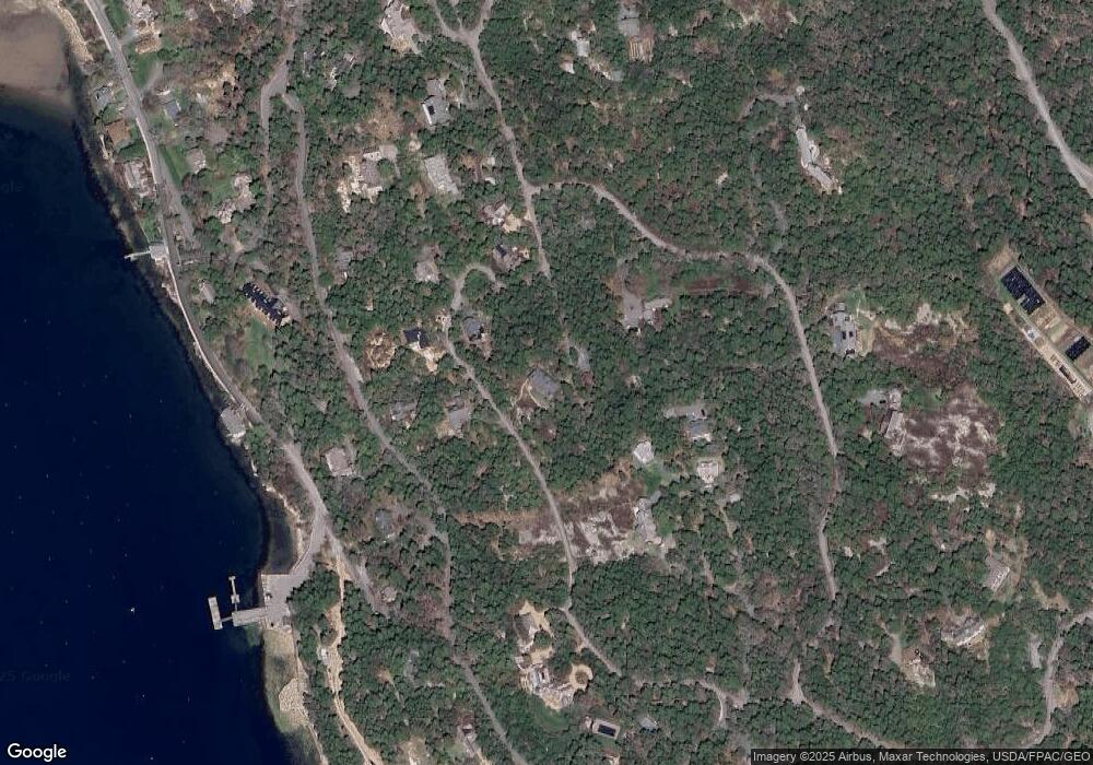
Map
Nearby Homes
- 6 Cliffhanger
- 0 Rock Garden Dr
- 93 Cooksey Dr
- 52 Rock Garden Dr
- 38 Main St - Seal Harbor St
- 17 Otter Creek Dr
- 4 Highlands (Northeast Hrbr) Ln
- 87 Peabody Drive (Northeast Hrbr)
- 20 Main St
- 6 Sea St
- Lot 147-03 Main St
- 30 Neighborhood Rd
- 65 Summit Rd
- 3 and 5 Graves Lane Harbor NE
- 5 Spruce St
- 82 Common Ln
- 77 Manchester Rd
- 0 N Road Sutton Island Unit 1612569
- 30 Dog Point Rd
- 463 Seawall Rd
- 20 Rowland Rd
- 25 Rowland Rd
- 21 Rowland Rd
- 1 Upland Rd
- 25 Cooksey Dr
- 19 Upland Rd
- 46 Rowland Rd
- 5 Rowland Rd
- 20 Cooksey Dr
- 32 Steamboat Wharf Rd
- 40 Steamboat Wharf Rd
- 40 Steam Boat Wharf Rd
- 16 Cooksey Dr
- 20 New Country Rd
- 9 New County Rd
- 18 Upland Rd
- 1 Rowland Rd
- 33 Cooksey Dr
- 18 Upland Road Seal Harbor
- 35 Cooksey Dr