12 Ruddock Rd Sudbury, MA 01776
Estimated Value: $1,206,000 - $1,566,000
3
Beds
4
Baths
2,746
Sq Ft
$481/Sq Ft
Est. Value
About This Home
This home is located at 12 Ruddock Rd, Sudbury, MA 01776 and is currently estimated at $1,321,618, approximately $481 per square foot. 12 Ruddock Rd is a home located in Middlesex County with nearby schools including Josiah Haynes Elementary School, Ephraim Curtis Middle School, and Lincoln-Sudbury Regional High School.
Ownership History
Date
Name
Owned For
Owner Type
Purchase Details
Closed on
Nov 10, 1994
Sold by
Marshall R Maynard and Marshall Donnilea
Bought by
Kenealy Edmund C and Kenealy Deborah B
Current Estimated Value
Create a Home Valuation Report for This Property
The Home Valuation Report is an in-depth analysis detailing your home's value as well as a comparison with similar homes in the area
Home Values in the Area
Average Home Value in this Area
Purchase History
| Date | Buyer | Sale Price | Title Company |
|---|---|---|---|
| Kenealy Edmund C | $418,500 | -- | |
| Kenealy Edmund C | $418,500 | -- |
Source: Public Records
Mortgage History
| Date | Status | Borrower | Loan Amount |
|---|---|---|---|
| Open | Kenealy Edmund C | $300,000 | |
| Closed | Kenealy Edmund C | $100,000 | |
| Closed | Kenealy Edmund C | $203,150 |
Source: Public Records
Tax History Compared to Growth
Tax History
| Year | Tax Paid | Tax Assessment Tax Assessment Total Assessment is a certain percentage of the fair market value that is determined by local assessors to be the total taxable value of land and additions on the property. | Land | Improvement |
|---|---|---|---|---|
| 2025 | $16,533 | $1,129,300 | $500,900 | $628,400 |
| 2024 | $15,975 | $1,093,400 | $486,500 | $606,900 |
| 2023 | $16,186 | $1,026,400 | $434,500 | $591,900 |
| 2022 | $15,530 | $860,400 | $398,500 | $461,900 |
| 2021 | $14,716 | $781,500 | $398,500 | $383,000 |
| 2020 | $14,419 | $781,500 | $398,500 | $383,000 |
| 2019 | $13,997 | $781,500 | $398,500 | $383,000 |
| 2018 | $14,021 | $782,000 | $424,100 | $357,900 |
| 2017 | $13,426 | $756,800 | $420,500 | $336,300 |
| 2016 | $12,932 | $726,500 | $404,500 | $322,000 |
| 2015 | $12,519 | $711,300 | $392,900 | $318,400 |
| 2014 | $12,486 | $692,500 | $381,300 | $311,200 |
Source: Public Records
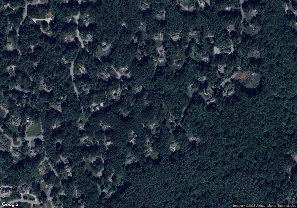
Map
Nearby Homes
- 55 Widow Rites Ln
- 45 Widow Rites Ln
- 5 Taintor Dr
- 63 Canterbury Dr
- 54 Phillips Rd
- 57 Longfellow Rd
- 166 Parker St Unit 4
- 67 Old Marlboro Rd
- 29 Longfellow Rd
- 4 Elderberry Cir
- 24 Goodnow Rd
- 47 Fairbank Rd
- 42 Dakin Rd
- 67 Powder Mill Rd
- 250 Great Rd
- 5 Oak Ridge Dr Unit 7
- 427 Concord Rd
- 5 Hayes St Unit 5
- 15 Arthur St Unit 15
- 13 Arthur St Unit 15