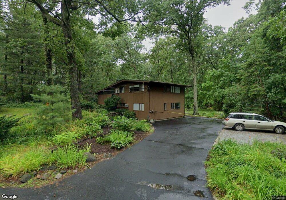
12 Rumford Rd Lexington, MA 02420
Countryside NeighborhoodEstimated Value: $1,310,000 - $1,522,000
3
Beds
4
Baths
1,392
Sq Ft
$1,038/Sq Ft
Est. Value
About This Home
This home is located at 12 Rumford Rd, Lexington, MA 02420 and is currently estimated at $1,445,082, approximately $1,038 per square foot. 12 Rumford Rd is a home located in Middlesex County with nearby schools including Harrington Elementary School, Jonas Clarke Middle School, and Lexington High School.
Ownership History
Date
Name
Owned For
Owner Type
Purchase Details
Closed on
Mar 2, 2010
Sold by
Zoldbrod Aline P
Bought by
Zoldbrid & Osterweil Ft
Current Estimated Value
Purchase Details
Closed on
Jan 31, 1989
Sold by
Herscott Murray
Bought by
Zoldbrod Aline P
Home Financials for this Owner
Home Financials are based on the most recent Mortgage that was taken out on this home.
Original Mortgage
$40,000
Interest Rate
10.66%
Mortgage Type
Purchase Money Mortgage
Create a Home Valuation Report for This Property
The Home Valuation Report is an in-depth analysis detailing your home's value as well as a comparison with similar homes in the area
Home Values in the Area
Average Home Value in this Area
Purchase History
| Date | Buyer | Sale Price | Title Company |
|---|---|---|---|
| Zoldbrid & Osterweil Ft | -- | -- | |
| Zoldbrod Aline P | $345,000 | -- |
Source: Public Records
Mortgage History
| Date | Status | Borrower | Loan Amount |
|---|---|---|---|
| Previous Owner | Zoldbrod Aline P | $40,000 |
Source: Public Records
Tax History Compared to Growth
Tax History
| Year | Tax Paid | Tax Assessment Tax Assessment Total Assessment is a certain percentage of the fair market value that is determined by local assessors to be the total taxable value of land and additions on the property. | Land | Improvement |
|---|---|---|---|---|
| 2025 | $14,541 | $1,189,000 | $789,000 | $400,000 |
| 2024 | $13,879 | $1,133,000 | $752,000 | $381,000 |
| 2023 | $13,286 | $1,022,000 | $684,000 | $338,000 |
| 2022 | $12,392 | $898,000 | $622,000 | $276,000 |
| 2021 | $6,136 | $862,000 | $593,000 | $269,000 |
| 2020 | $12,364 | $880,000 | $593,000 | $287,000 |
| 2019 | $11,889 | $842,000 | $565,000 | $277,000 |
| 2018 | $5,478 | $801,000 | $538,000 | $263,000 |
| 2017 | $10,737 | $741,000 | $507,000 | $234,000 |
| 2016 | $10,454 | $716,000 | $483,000 | $233,000 |
| 2015 | $10,179 | $685,000 | $439,000 | $246,000 |
| 2014 | $10,004 | $645,000 | $395,000 | $250,000 |
Source: Public Records
Map
Nearby Homes
- 71 Webb St
- 197 Woburn St
- 15 Peachtree Rd
- 8 Blueberry Ln
- 500 Lexington St Unit 6
- 6 Maureen Rd
- 22 Tyler Rd
- 1 Maureen Rd
- 21 Derby Dr Unit 21
- 218 Lowell St
- 5 Carnegie Place
- 22 Bryant Rd
- 19 Gershon Way Unit 1
- 19 Gershon Way
- 23 Thoreau Rd
- 23 Burroughs Rd
- 1437 Massachusetts Ave
- 49 Duren Ave
- 14 Liana St
- 14 Nassau Dr