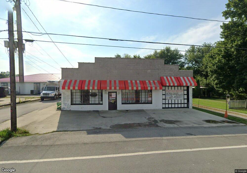
12 S High St Mowrystown, OH 45155
Estimated Value: $16,443
--
Bed
--
Bath
3,720
Sq Ft
$4/Sq Ft
Est. Value
About This Home
This home is located at 12 S High St, Mowrystown, OH 45155 and is currently priced at $16,443, approximately $4 per square foot. 12 S High St is a home located in Highland County with nearby schools including Bright Elementary School, Whiteoak Junior High School, and Whiteoak High School.
Ownership History
Date
Name
Owned For
Owner Type
Purchase Details
Closed on
Sep 5, 2014
Sold by
Lykins Realty Llc
Bought by
Diekmeyer Jason
Current Estimated Value
Purchase Details
Closed on
Dec 6, 2010
Sold by
Lykins Realty Llc
Bought by
Lawson Casper A
Home Financials for this Owner
Home Financials are based on the most recent Mortgage that was taken out on this home.
Original Mortgage
$40,000
Interest Rate
5.25%
Mortgage Type
Seller Take Back
Purchase Details
Closed on
Nov 3, 1995
Sold by
Rosselot Sarah J
Bought by
Osi Dev
Purchase Details
Closed on
Jan 1, 1990
Bought by
Rosselot Sarah Jo Ann
Create a Home Valuation Report for This Property
The Home Valuation Report is an in-depth analysis detailing your home's value as well as a comparison with similar homes in the area
Home Values in the Area
Average Home Value in this Area
Purchase History
| Date | Buyer | Sale Price | Title Company |
|---|---|---|---|
| Diekmeyer Jason | $8,000 | Attorney | |
| Lawson Casper A | $40,000 | Attorney | |
| Osi Dev | $42,428 | -- | |
| Rosselot Sarah Jo Ann | -- | -- |
Source: Public Records
Mortgage History
| Date | Status | Borrower | Loan Amount |
|---|---|---|---|
| Previous Owner | Lawson Casper A | $40,000 |
Source: Public Records
Tax History Compared to Growth
Tax History
| Year | Tax Paid | Tax Assessment Tax Assessment Total Assessment is a certain percentage of the fair market value that is determined by local assessors to be the total taxable value of land and additions on the property. | Land | Improvement |
|---|---|---|---|---|
| 2024 | $1,299 | $27,900 | $2,800 | $25,100 |
| 2023 | $1,299 | $18,420 | $2,280 | $16,140 |
| 2022 | $1,137 | $18,420 | $2,280 | $16,140 |
| 2021 | $1,153 | $18,420 | $2,280 | $16,140 |
| 2020 | $1,170 | $18,420 | $2,280 | $16,140 |
| 2019 | $1,169 | $18,420 | $2,280 | $16,140 |
| 2018 | $782 | $10,510 | $2,280 | $8,230 |
| 2017 | $830 | $11,630 | $2,280 | $9,350 |
| 2016 | $830 | $11,630 | $2,280 | $9,350 |
| 2015 | $833 | $11,630 | $2,280 | $9,350 |
| 2014 | $794 | $11,630 | $2,280 | $9,350 |
| 2013 | $788 | $11,630 | $2,280 | $9,350 |
Source: Public Records
Map
Nearby Homes
- 0 W Diehl Ave
- 55 W Main St
- 7370 Mowrystown-Sardinia Rd
- 12754 5 Points Mowrystown Rd
- 13427 Stieman Rd
- 3345 Edwards Rd
- 7450 King Rd
- 0 Horse Shoe Dr Unit 1857810
- 1 Duncanson Rd
- 874 Waynoka Dr
- 0 Duncanson Rd Unit 5150881
- 0 Duncanson Rd Unit 5150848
- 689 Duncanson Rd
- 159 Sardinia-Mowrystown Rd
- 0 Duncanson Rd Unit 24555971
- 0 Duncanson Rd Unit 24557375
- 8446 Five Points Fincastle Rd
- 0 N St Rt 32 Unit 1745639
- 7603 Tricounty Hwy
- Ac Bachman Rd
- 5 W Main St
- 14 N High St
- 16 S High St
- 4 W Main St
- 13 High St S
- 0 Main St
- 0 Main St
- 16 High St S
- 18 High St
- 0 St Rt 321 Unit 1417132
- 0 St Rt 321 Unit 1344521
- 0 W Main St Unit 1344517
- 0 W Main St Unit 1406482
- 0 State Route 321 Unit 213039552
- 15 W Main St
- 15 Main St E
- 6 W Main St
- 15 W Main St
- 8 W Main St
- 7 Maple St