12 Saint Andrews Dr SE Cartersville, GA 30120
Estimated Value: $629,000 - $1,107,000
4
Beds
2
Baths
5,856
Sq Ft
$151/Sq Ft
Est. Value
About This Home
This home is located at 12 Saint Andrews Dr SE, Cartersville, GA 30120 and is currently estimated at $886,015, approximately $151 per square foot. 12 Saint Andrews Dr SE is a home located in Bartow County with nearby schools including Emerson Elementary School, Red Top Middle School, and Woodland High School.
Ownership History
Date
Name
Owned For
Owner Type
Purchase Details
Closed on
Apr 22, 2011
Sold by
Queen Michael Kevin
Bought by
Queen Michael Kevin
Current Estimated Value
Home Financials for this Owner
Home Financials are based on the most recent Mortgage that was taken out on this home.
Original Mortgage
$155,000
Outstanding Balance
$8,339
Interest Rate
4.81%
Mortgage Type
New Conventional
Estimated Equity
$877,676
Create a Home Valuation Report for This Property
The Home Valuation Report is an in-depth analysis detailing your home's value as well as a comparison with similar homes in the area
Home Values in the Area
Average Home Value in this Area
Purchase History
| Date | Buyer | Sale Price | Title Company |
|---|---|---|---|
| Queen Michael Kevin | -- | -- |
Source: Public Records
Mortgage History
| Date | Status | Borrower | Loan Amount |
|---|---|---|---|
| Open | Queen Michael Kevin | $155,000 |
Source: Public Records
Tax History Compared to Growth
Tax History
| Year | Tax Paid | Tax Assessment Tax Assessment Total Assessment is a certain percentage of the fair market value that is determined by local assessors to be the total taxable value of land and additions on the property. | Land | Improvement |
|---|---|---|---|---|
| 2024 | $7,431 | $318,935 | $62,000 | $256,935 |
| 2023 | $7,594 | $321,759 | $62,000 | $259,759 |
| 2022 | $7,484 | $301,319 | $48,000 | $253,319 |
| 2021 | $6,104 | $235,436 | $48,000 | $187,436 |
| 2020 | $5,964 | $222,116 | $48,000 | $174,116 |
| 2019 | $5,271 | $194,894 | $30,000 | $164,894 |
| 2018 | $4,934 | $182,096 | $20,000 | $162,096 |
| 2017 | $3,973 | $146,880 | $25,680 | $121,200 |
| 2016 | $4,002 | $146,880 | $25,680 | $121,200 |
| 2015 | $4,010 | $146,880 | $25,680 | $121,200 |
| 2014 | $3,708 | $132,080 | $25,680 | $106,400 |
| 2013 | -- | $132,080 | $25,680 | $106,400 |
Source: Public Records
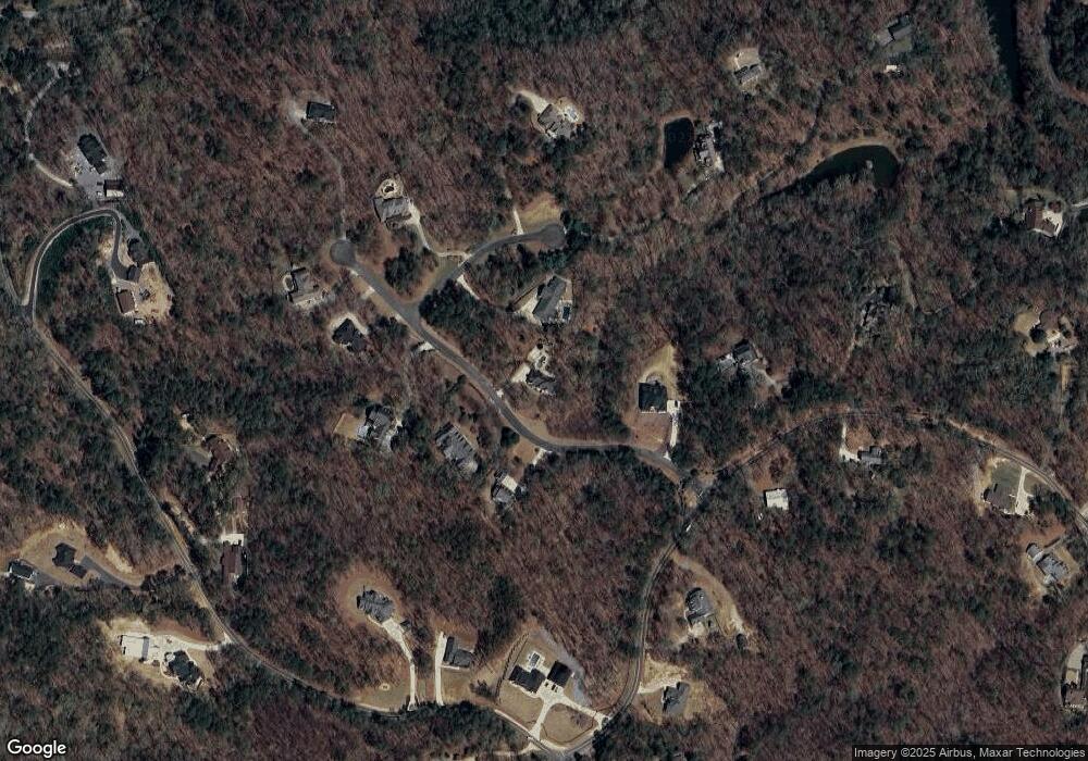
Map
Nearby Homes
- 455 Bates Rd
- 23 Vista Woods Ln
- 111 Dripping Rock Trail SE
- 73 Valley Trail SE
- 97 Bevil Ridge Rd SE
- 101 Bevil Ridge Rd SE
- 0 Overlook Trail Unit 10617151
- 107 Dupont Ct
- 27 Retreat Ridge SE
- 49 Red Top Cir
- 205 Washington Blvd
- 528 Pumpkinvine Rd
- 441 Pumpkinvine Rd
- 124 Puckett Rd SE
- 2000 Dabbs Bridge Rd
- 131 Old Alabama Rd SE
- 127 Old Alabama Rd SE
- 125 Old Alabama Rd SE
- 26 Trillium Ln
- 116 Silvercrest Dr
- 0 Aberdeen Ct Unit 7620796
- 12 Aberdeen Ct SE
- 10 Saint Andrews Dr SE
- 13 Saint Andrews Dr SE
- 11 Saint Andrews Dr SE
- 11 St Andrews Dr SE
- 15 Saint Andrews Dr SE
- 17 Saint Andrews Dr SE
- 562 Green Ridge Rd SE
- 583 Green Ridge Rd SE
- 587 Green Ridge Rd SE
- 11 Aberdeen Ct SE
- 13 Aberdeen Ct SE
- 563 Green Ridge Rd SE
- 19 Saint Andrews Dr SE
- 19 St Andrews Dr SE
- 14 Aberdeen Ct SE
- 593 Green Ridge Rd SE
- 9 Boulder Rd SE
- 9 Boulder Rd SE