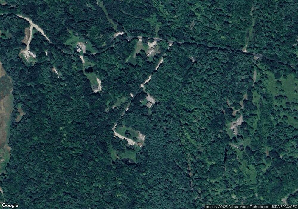
12 Sanctuary Ln Limington, ME 04049
Limington NeighborhoodEstimated Value: $330,000 - $461,000
3
Beds
2
Baths
1,545
Sq Ft
$272/Sq Ft
Est. Value
About This Home
This home is located at 12 Sanctuary Ln, Limington, ME 04049 and is currently estimated at $420,986, approximately $272 per square foot. 12 Sanctuary Ln is a home located in York County with nearby schools including Bonny Eagle High School.
Ownership History
Date
Name
Owned For
Owner Type
Purchase Details
Closed on
Mar 26, 2010
Sold by
Davis Gordon W and Davis Dawn
Bought by
Huston William M and Murphy Linda
Current Estimated Value
Home Financials for this Owner
Home Financials are based on the most recent Mortgage that was taken out on this home.
Original Mortgage
$176,027
Outstanding Balance
$118,683
Interest Rate
5.25%
Mortgage Type
FHA
Estimated Equity
$302,303
Purchase Details
Closed on
Nov 29, 2005
Sold by
Skyline Dev Llc
Bought by
Davis Dawn and Davls Gordon W
Home Financials for this Owner
Home Financials are based on the most recent Mortgage that was taken out on this home.
Original Mortgage
$202,324
Interest Rate
6.06%
Mortgage Type
Purchase Money Mortgage
Create a Home Valuation Report for This Property
The Home Valuation Report is an in-depth analysis detailing your home's value as well as a comparison with similar homes in the area
Home Values in the Area
Average Home Value in this Area
Purchase History
| Date | Buyer | Sale Price | Title Company |
|---|---|---|---|
| Huston William M | -- | -- | |
| Davis Dawn | -- | -- |
Source: Public Records
Mortgage History
| Date | Status | Borrower | Loan Amount |
|---|---|---|---|
| Open | Huston William M | $176,027 | |
| Closed | Huston William M | $176,027 | |
| Previous Owner | Davis Dawn | $202,324 |
Source: Public Records
Tax History Compared to Growth
Tax History
| Year | Tax Paid | Tax Assessment Tax Assessment Total Assessment is a certain percentage of the fair market value that is determined by local assessors to be the total taxable value of land and additions on the property. | Land | Improvement |
|---|---|---|---|---|
| 2024 | $4,191 | $373,200 | $102,000 | $271,200 |
| 2023 | $3,818 | $373,200 | $102,000 | $271,200 |
| 2022 | $3,003 | $203,600 | $68,000 | $135,600 |
| 2021 | $2,688 | $203,600 | $68,000 | $135,600 |
| 2020 | $2,504 | $203,600 | $68,000 | $135,600 |
| 2019 | $2,504 | $203,600 | $68,000 | $135,600 |
| 2017 | $2,402 | $203,600 | $68,000 | $135,600 |
| 2016 | $2,291 | $203,600 | $68,000 | $135,600 |
| 2015 | $2,219 | $203,600 | $68,000 | $135,600 |
| 2014 | $2,219 | $203,600 | $68,000 | $135,600 |
| 2013 | $2,138 | $203,600 | $68,000 | $135,600 |
Source: Public Records
Map
Nearby Homes
- 50AC Sawyer Mountain Rd
- 0 Sawyer Mountain Rd Unit 1637334
- 1323 Cape Rd
- 440 Quarry Rd
- 14 Hunter Dr
- 60 Christian Hill Rd
- 1024 Cape Rd
- Lot #5 Jordan Heights Rd
- 11 Putnam Ridge
- Lot15-006B Quarry Rd
- 154 Lombard Hill Rd
- 152 Quarry Rd
- 6-13 Main St
- Lot 7 Prokey Dr
- Lot #11 Jordan Heights Rd
- Lot 12 Prokey Dr
- Lot #4 Jordan Heights Rd
- 160 Quarry Rd
- Lot #9 Jordan Heights Rd
- Lot #8 Jordan Heights Rd
- 0 Sanctuary Ln
- 15 Sanctuary Ln
- 24 Sanctuary Ln
- 122 Norton Rd
- 100 Norton Rd
- lot 6 Norton Rd
- Lot 2&6 Norton Rd
- 115 Norton Rd
- 11 Skyline Dr
- 0 Norton Rd Unit 858154
- 0 Norton Rd Unit 795042
- 0 Norton Rd Unit 802206
- 0 Norton Rd Unit 267835
- 0 Norton Rd Unit 322449
- 0 Norton Rd Unit 3 884417
- 0 Norton Rd Unit 938664
- 0 Norton Rd Unit 1037887
- 0 Norton Rd Unit 1407146
- 002 Norton Rd
- 134 Norton Rd
