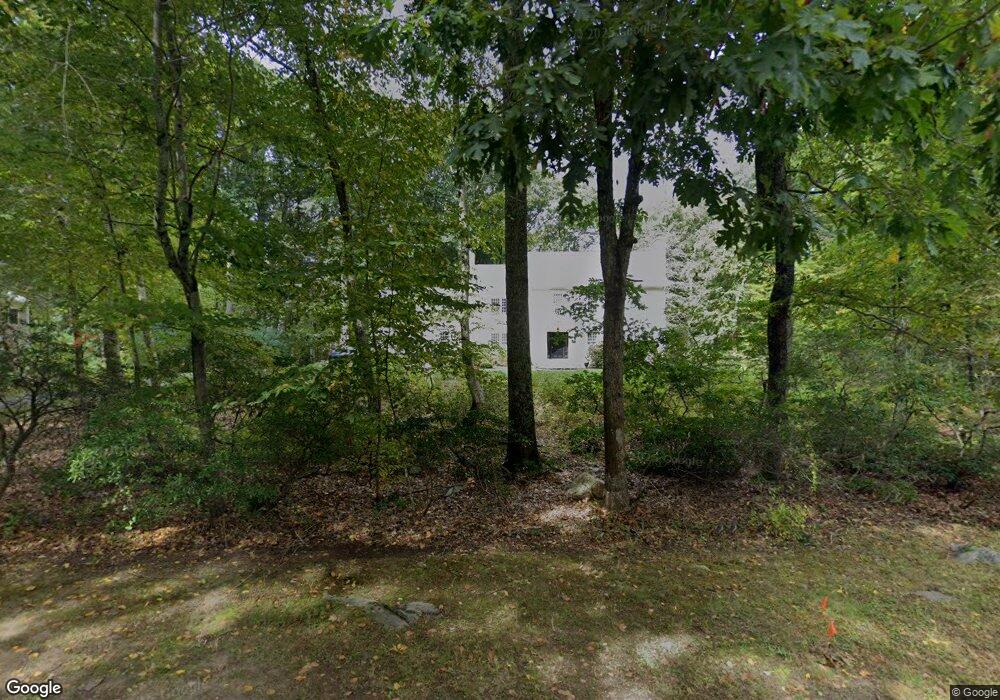
12 Sanford's Bridge Rd East Haddam, CT 06423
Estimated Value: $655,000 - $780,000
4
Beds
3
Baths
3,116
Sq Ft
$225/Sq Ft
Est. Value
About This Home
This home is located at 12 Sanford's Bridge Rd, East Haddam, CT 06423 and is currently estimated at $700,081, approximately $224 per square foot. 12 Sanford's Bridge Rd is a home located in Middlesex County with nearby schools including East Haddam Elementary School, Nathan Hale-Ray Middle School, and Nathan Hale-Ray High School.
Ownership History
Date
Name
Owned For
Owner Type
Purchase Details
Closed on
Dec 20, 2012
Sold by
Neikrie Leslie K
Bought by
Burns Robert P and Burns Maura T
Current Estimated Value
Home Financials for this Owner
Home Financials are based on the most recent Mortgage that was taken out on this home.
Original Mortgage
$333,000
Outstanding Balance
$230,545
Interest Rate
3.43%
Mortgage Type
New Conventional
Estimated Equity
$469,536
Purchase Details
Closed on
Feb 13, 2006
Sold by
Young Stephen W and Young Sueam
Bought by
Neikrie Leslie K
Purchase Details
Closed on
Jan 11, 2000
Sold by
Trinity Land T
Bought by
Young Stephen W and Young Sua A
Home Financials for this Owner
Home Financials are based on the most recent Mortgage that was taken out on this home.
Original Mortgage
$200,000
Interest Rate
6.75%
Create a Home Valuation Report for This Property
The Home Valuation Report is an in-depth analysis detailing your home's value as well as a comparison with similar homes in the area
Home Values in the Area
Average Home Value in this Area
Purchase History
| Date | Buyer | Sale Price | Title Company |
|---|---|---|---|
| Burns Robert P | $380,000 | -- | |
| Neikrie Leslie K | $472,000 | -- | |
| Young Stephen W | $332,000 | -- |
Source: Public Records
Mortgage History
| Date | Status | Borrower | Loan Amount |
|---|---|---|---|
| Open | Young Stephen W | $333,000 | |
| Previous Owner | Young Stephen W | $165,000 | |
| Previous Owner | Young Stephen W | $200,000 | |
| Previous Owner | Young Stephen W | $200,000 |
Source: Public Records
Tax History Compared to Growth
Tax History
| Year | Tax Paid | Tax Assessment Tax Assessment Total Assessment is a certain percentage of the fair market value that is determined by local assessors to be the total taxable value of land and additions on the property. | Land | Improvement |
|---|---|---|---|---|
| 2025 | $9,556 | $340,570 | $74,150 | $266,420 |
| 2024 | $9,114 | $340,570 | $74,150 | $266,420 |
| 2023 | $8,770 | $340,570 | $74,150 | $266,420 |
| 2022 | $8,367 | $263,190 | $60,190 | $203,000 |
| 2021 | $8,012 | $263,190 | $60,190 | $203,000 |
| 2020 | $8,012 | $263,190 | $60,190 | $203,000 |
| 2019 | $8,012 | $263,190 | $60,190 | $203,000 |
| 2018 | $7,806 | $263,190 | $60,190 | $203,000 |
| 2017 | $8,150 | $275,540 | $73,800 | $201,740 |
| 2016 | $8,087 | $275,540 | $73,800 | $201,740 |
| 2015 | $7,902 | $275,540 | $73,800 | $201,740 |
| 2014 | $7,687 | $275,520 | $73,780 | $201,740 |
Source: Public Records
Map
Nearby Homes
- 253 Clark Hill Rd
- 0 Florida Rd
- 317 Tater Hill Rd
- 401 Fox Hopyard Rd
- 206 Sheepskin Hollow Rd
- 301 Fox Hopyard Rd
- 331 Tater Hill Rd
- 708 Fox Hopyard Rd
- 703 Fox Hopyard Rd
- 709 Fox Hopyard Rd
- 205 & 206 Fox Hopyard Rd
- 45 Clark Rd
- 31 Birch Hill Rd
- 85 Salem Rd
- 257 Norwich Salem Rd
- 2 Acorn Dr
- 53 Shanaghans Rd
- 0 Hopyard Rd Unit 24103236
- 0 Norwich Salem Rd
- 63 Schulman Veslak Rd
- 12 Sanfords Bridge
- 14 Sanfords Bridge
- 10 Sanfords Bridge
- 7 Sanfords Bridge
- 9 Sanfords Bridge
- 16 Sanfords Bridge
- 11 Sanfords Bridge
- 5 Sanfords Bridge
- 22 Sanfords Bridge
- 18 Sanfords Bridge
- 15 Sanfords Bridge
- 19 Sanfords Bridge
- 17 Sanfords Bridge
- 21 Sanfords Bridge
- 18 Sanford Bridge
- 24 Sanfords Bridge
- 23 Sanfords Bridge
- 219 Clark Hill Rd
- 3 Sanfords Bridge